Published
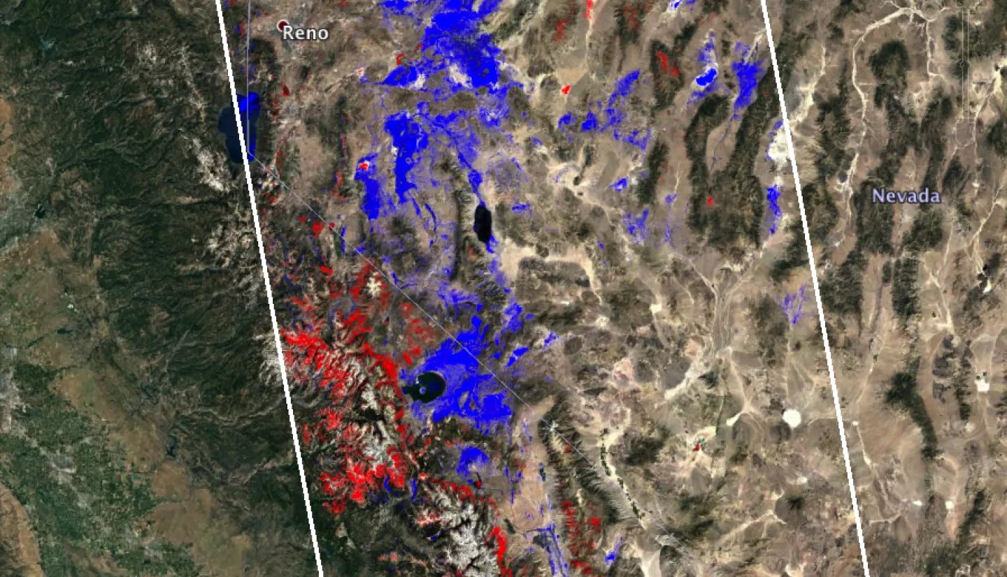
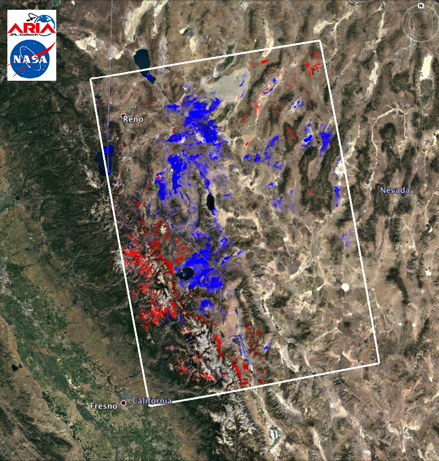
Flood Proxy Map (FPM) covering an area of 155-by-224 miles (250-by-360 km), derived from Sentinel-1's pre- (2016-12-15 6 PM PST) and during-the-event (2017-01-08 6 PM PST) Synthetic Aperture Radar (SAR) amplitude images. The colored pixels represent areas of potential flood (Red: flooded vegetation, Blue: open water flood). Different irrigation conditions on the two data acquisition dates can produce errors on agricultural lands. This FPM should be used as guidance to identify potential areas of flooding, and may be less reliable over urban areas or snow cover.
618


