Imagen
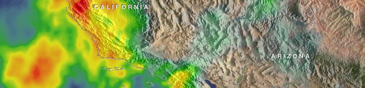
Winter rains falling on recently burned ground triggered deadly mudslides near Santa Barbara, California on the 9th of January.
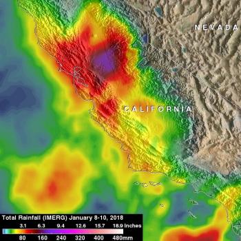
This rainfall analysis was constructed using NASA's Integrated Multi-satellitE Retrievals for GPM (IMERG) data. Precipitation data acquired from satellites in the GPM Constellation during the period from January 8-10, 2018 were used in this rainfall accumulation map. This analysis shows the heavy rainfall that occurred over California during the past three days. The heaviest rainfall in this analysis is shown over the Sacramento Valley where over 8 inches (203 mm) were indicated. Southern California had heavy rainfall but the effects of the drenching rain was magnified by the bare soil left by last months wild fires. A rainfall total of 5 inches (127 mm) was reported in Ventura County.
The GPM (IMERG) data was provided to the US Geological Survey to assist in measuring rainfall and assessing landslide potential.


