
Hurricane Willa has brought life-threatening storm surge, wind, and rainfall to portions of west-central and southwestern Mexico. A few powerful convective storms within Willa were dropping rain at a rate of over 6.3 inches per hour on October 21, 2018. The Global Flood Monitoring System (GFMS) is providing flooding information to the general public, local and federal government and scientific communities based on real-time precipitation measurements.
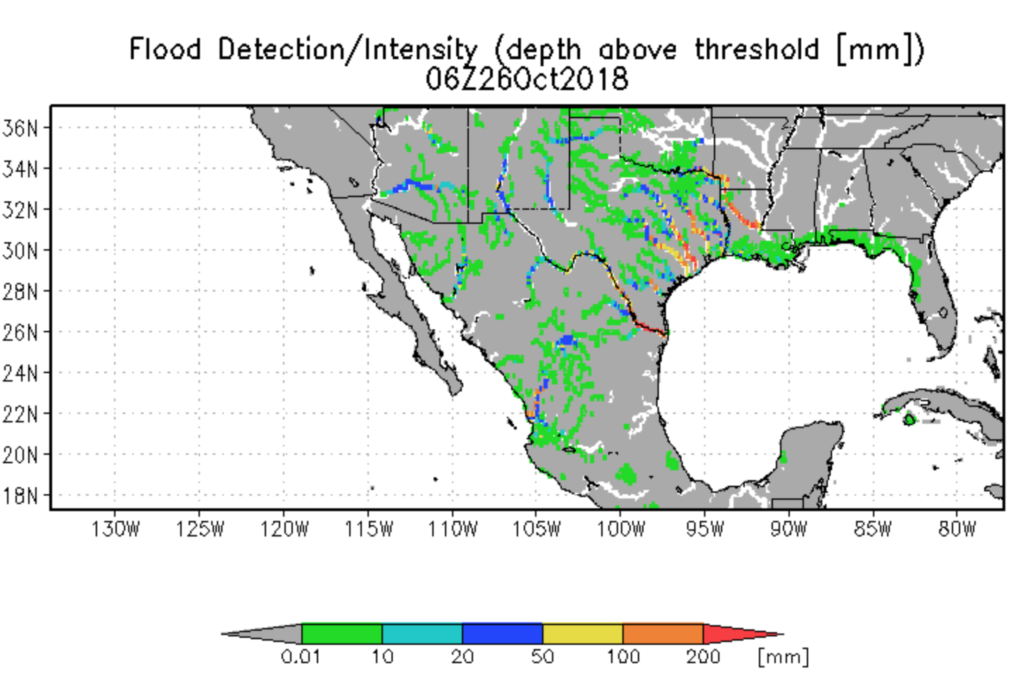
GFMS is a NASA-funded experimental system using the real-time Tropical Rainfall Measuring Mission (TRMM) multi-satellite precipitation analysis and Global Precipitation Measurement (GPM) precipitation information as input to a model which provides flood measurements in specific locations. Flood thresholds for a given point is calculated based on hindcasting with the model. Streamflow, surface water storage and flood inundation variables are calculated in the model estimate. In addition, the latest maps of instantaneous precipitation and totals from the last day, three days and seven days are displayed.


