At the 2022 Esri User Conference, the largest global event about geographic information system (GIS) technology, NASA's Applied Sciences Program is participating to highlight NASA's work helping decision-makers worldwide use Earth science data to solve problems.
Applied Sciences supports institutions and individuals to make better decisions about our environment, food, water, health and safety.
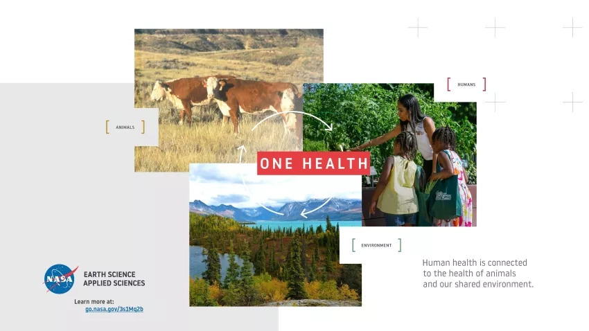
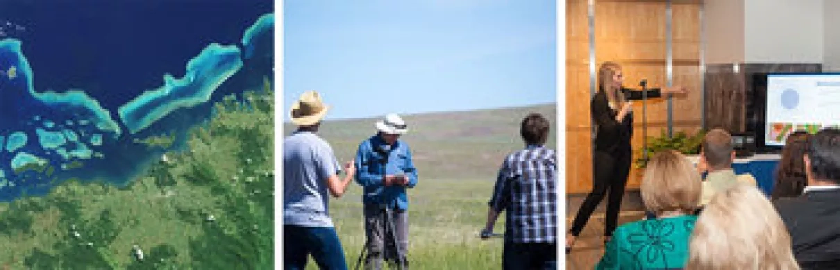
NASA Applied Sciences provides funding, training, resources and other opportunities to help find solutions that serve society. Credits: NASA
Key to the success of bringing NASA Earth science data to decision-makers is using the type of GIS techniques that Esri develops.
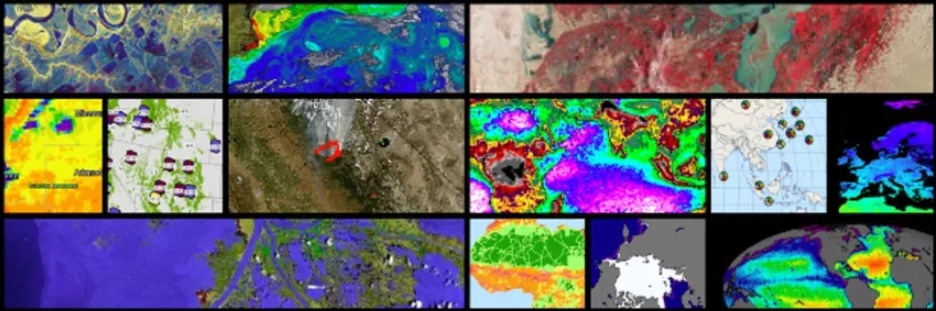
NASA has the unique ability to connect our more than 50 years of Earth science data from satellites, as well as space-based, aeronautic and on-the-ground instruments to geographic locations around the world. This provides clear, concise, and understandable tools like maps and analysis that help decision-makers understand the complex nature of our warming world.
NASA participants and resources at the 2022 Esri User Conference include:
-
NASA Earth Science Data Systems Program (ESDS) - A gateway to Earth observation data, NASA's ESDS program provides full and open access to NASA's collection of Earth science data. The program's website, Earthdata, has also premiered a new GIS webpage, GIS at NASA: Expanding the Understanding of Earth Science.
-
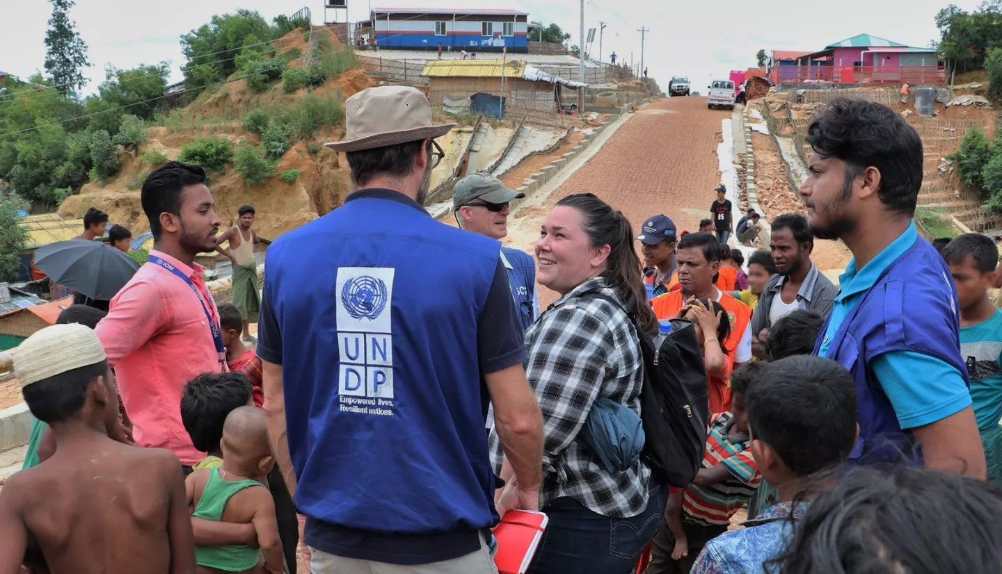
NASA Disasters - Using Earth-observing data and applied research the Disasters program area improves the prediction of, preparation for, response to and recovery from hazards and disasters around the world. Before, during and after disasters strike, Disasters coordinates with decision-makers and local governments, providing actionable data to recover from disaster impacts and build community resilience.
-
NASA DEVELOP supports professional development and cultivates the next generation of leaders and Earth observation users by bridging the gap between communities and organizations addressing environmental and policy concerns and practical applications of NASA Earth science information. Three times a year, participants apply through a competitive application process. Those selected conduct 10-week research projects in interdisciplinary teams of 4-5 people.
-
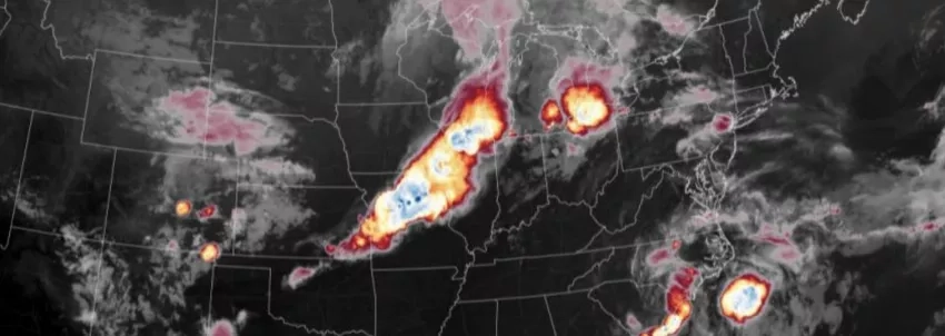
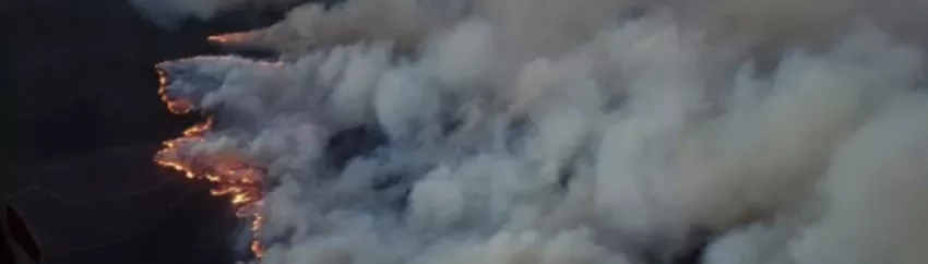
Wildland Fires - Wildfires are uncontrolled fires that spread rapidly and yet fire is an essential process for many ecosystems. NASA’s Wildland Fires program area uses Earth observations to help communities manage the impacts of fires by providing applications and tools to arm decision makers with the information they need. It is also part of a network of collaborators working to reduce wildfire risks before, during, and after events.
-
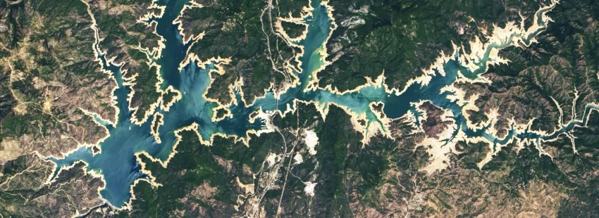
Western Water Applications Office (WWAO) provides NASA data on the arid American west to resource managers at the local, state, and federal levels so they can integrate NASA Earth observations into their decision-making processes.
-
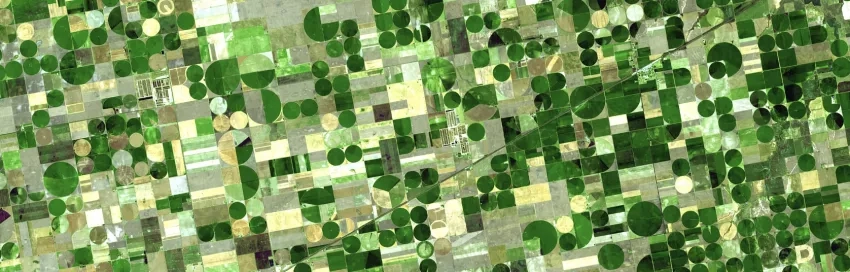
NASA Harvest is a consortium with over 40 partners and led by the University of Maryland that connects top researchers, humanitarian aid organizations, economists, policymakers and other leaders to the timely, accurate and actionable information they need to prepare for and respond to spikes in food prices, weather-related food shortages and other events.
-
NASA's Health & Air Quality program area provides policymakers with Earth observations to enhance decision-making about public health, with a special focus on environmental health and infectious diseases.