Members of the NASA Earth Applied Sciences Disasters Program will be attending the American Geophysical Union 2019 Fall Meeting this year in San Francisco, CA to give talks, present posters, and teach people about the program and the services it provides.
Oral Sessions, Poster Sessions, and Posters:
Hyperwall Talks:
Applications from GPM, Disasters and Designated Observables
Tuesday December 10th, 10:45pm - 11:00am
Dalia Kirschbaum - NASA Disasters Center Coordinator
GEO-Global Wildfire Information System (GWIS)
Tuesday December 10th, 3:45pm - 4:00pm
Vince Ambrosia - NASA Disasters Associate Program Manager
Earth Observations for Disaster Resilience – A Decadal Imperative
Tuesday December 10th, 4:15pm - 4:30pm
David Green - NASA Disasters Program Manager
Keeping an Eye Out for Disasters with the NASA Disasters Mapping Portal
(Disasters Mapping Portal Demo)
Wednesday December 11th, 2:20pm - 2:27pm
Lori Schultz - NASA Disasters Program MSFC Coordinator
Description: The NASA Disasters Program leverages its GIS Portal (https://maps.disasters.nasa.gov) to provide NASA disaster-related products to end users in an easy-to-use GIS format that makes the data more discoverable and accessible to non-science users. We will demonstrate how to use the Portal and provide examples of products and applications created by the Disasters Program for recent disasters around the world.
Exhibit Booth Activities:
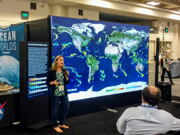
- Visit the NASA booth at the AGU Exhibit Hall (Moscone North Hall - Booth 535) anytime during the week to talk with representives from the NASA Applied Sciences team and learn about the program and how we can support your work.
- The NASA Disaster Applications VR/AR project team will showcase a custom-developed virtual reality interface displaying 3D city and terrain models and global basemaps, in which the user can order and view various NASA and NOAA data sets for flooding, earthquakes, fires, and other disasters.
- TIMES: Monday 6:00 - 8:00pm, Tuesday & Wednesday 12:30 - 3:00pm, Thursday & Friday 10:00am-12:30pm


