From using satellite data for well water surveillance in North Carolina to developing seasonal forecasts to help Peru prepare for climate change-related weather extremes, NASA’s Water Resources program area has selected 30 proposals to fund the research, development, and deployment of applications using Earth observations for water resources management. These new projects will collaborate directly with water resource managers, government agencies, and other community decision makers to customize the use of Earth observations for decision making around the world.
Several of the projects will use or develop machine-learning techniques to maximize the understanding of satellite data. Topic areas include supporting farmers’ irrigation decisions for crops like almonds, grapes, and staple crops, using Earth observations to track and monitor water quality indicators, and forecasting drought conditions to inform water resource management in water-scarce states and countries.
One such project will work with North Carolina’s Department of Health and Human Services to better assess water contamination, quality, and availability for the one in four residents who rely on wells for drinking water. The team will create a data repository to characterize both water stressors as well as how race and socioeconomic status influence well access and water quality.
Another selected team is aiming to support large-scale water forecast and management tools to enable early preparedness for anticipated drought and flood extremes in Peru – including the intensification of heavy rainfall due to climate change. The project team, noting that pre-disaster actions can reduce loss of life and property, will work to enhance seasonal hydrologic forecast products with Earth observations like soil moisture, soil temperature, and evapotranspiration to provide managers with an improved set of tools to better protect lives and livelihoods.
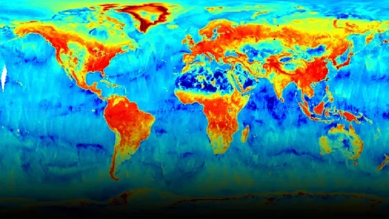
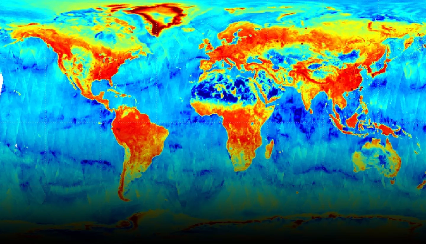
Earth observations from NASA and other agency satellites and instruments can provide critical information for water resource managers, including data from NASA’s Soil Moisture Active Passive (SMAP) mission and the joint NASA-U.S. Geological Survey Landsat mission. NASA’s ECOsystem Spaceborne Thermal Radiometer Experiment on Space Station (ECOSTRESS) mission measures the temperature of plants to better understand how they respond to heat and water stress, while the upcoming U.S.-European Surface Water and Ocean Topography (SWOT) mission will observe the Earth’s surface waters and ocean to provide the first-ever global survey of land-based water levels from a satellite, as well as unprecedented accuracy of ocean surface topography.
One of the newly selected projects will use Earth observations like these to develop new capabilities for forecasting water availability in East and West Africa. The project team will work with the U.S. Agency for International Development (USAID) to increase the Famine Early Warning Systems Network’s (FEWS NET) capacity for providing early warning of food insecurity, to better inform community preparation, disaster response agencies, and humanitarian aid efforts. To do so, the team will build a new forecasting system to monitor and predict drought impacts for food-insecure areas, engaging stakeholders throughout the development process to ensure the new system best meets the needs of decision makers.
“We received 141 proposals – it was heartening to see so much interest and ingenuity for using Earth observations to support water resources decision making,” said Sarah Brennan, deputy program manager for the Water Resources program area, “It was difficult to select just 30, but each of these projects has tremendous potential to expand access to, and utilization of, Earth observations for water resource communities around the world.”
Descriptions for each of the new projects can be found in the abstract list for selected proposals.
More examples of ongoing water-related projects can be found on the Water Resources landing page.


