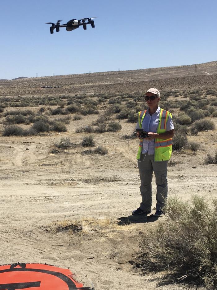
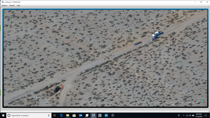
On July 4 and 5 near the city of Ridgecrest in Southern California two large-magnitude earthquakes struck, generating surface ruptures and damaging homes and businesses. NASA's GeoGateway team, led by research scientist Andrea Donnellan, conducted a series of drone flights to map in 3D the post-earthquakes changes in topography and terrain. The data was requested by the California Earthquake Clearninghouse and the Geotechnical Extreme Events Reconnaissance (GEER) Association, with flight locations supplied by Christine Goulet, Executive Director for Applied Science at the Southern California Earthquake Center (SCEC).
After being processed by Pix4D software the 3D drone data will be posted to the GeoGateway Portal. GeoGateway is a web-enabled map-based system for analysis, modeling, and response of geodetic imaging products for studying earthquakes and crustal deformation. The system provides a data product search and analysis gateway for scientific discovery, field use, and disaster response.
These products will help identify fault ruptures and cracks as well as displacement. The sites will be re-measured over time to characterize the postseismic deformation patterns at these targeted locations. The products were also included in the report on the 2019 Ridgecrest earthquake sequence.


