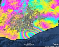
On June 23rd, 2020, a 7.4 magnitude earthquake occurred offshore of Oaxaca, Mexico. The location, magnitude and depth of the earthquake created the conditions necessary to cause a tsunami, leading to a tsunami warning being issued for the Pacific coasts of Mexico as well as Central and South America. While the tsunami’s impacts were minor, the event provided researchers with an opportunity to test the performance of the tsunami forecasting and early warning system.
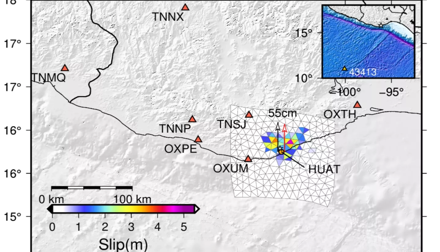
Using Global Navigation Satellite System (GNSS) displacement data from the Trans-boundary, Land and Atmosphere Long-term Observational and Collaborative Network (TLALOCNet) in Mexico, the NASA Applied Sciences A.37 ROSES research project “Enlisting Satellite Data to Modernize Local Tsunami Early Warning” lead by Diego Melgar produced a slip model and a predicted vertical deformation model to evaluate the impacts that the earthquake and tsunami had on the surrounding area.

These models were produced to serve as a guide for collecting measurements and observations of tsunami signals in the field. These signals include, but are not limited to, where the tsunami inundated, how far inland it went, and how high the mean sea level was at the time of the event. Since tsunami signals start to diminish as soon as it begins to rain or when people disturb them, the teams that conduct post-event tsunami surveys need to deploy within a week after the event or sooner. Because of this, they rely on these models to provide them with a rough estimate of what they are looking for in a particular area to prevent them from wasting valuable time.

In the long term these detailed models, which are created after a natural hazard has been processed, are compared with models that come out of the system in real-time in order to make sure that the real-time models are as close as possible to the accuracy of models that were made in post-processing. By improving the near real-time models, warnings generated by the tsunami forecasting and early warning system are made more accurate. Diego’s A.37 ROSES research project will continue to use hazards such as the earthquake in Mexico as opportunities to improve the tsunami forecasting and early warning system, and to provide life-saving information to decision makers as quickly as possible.