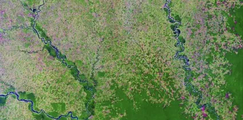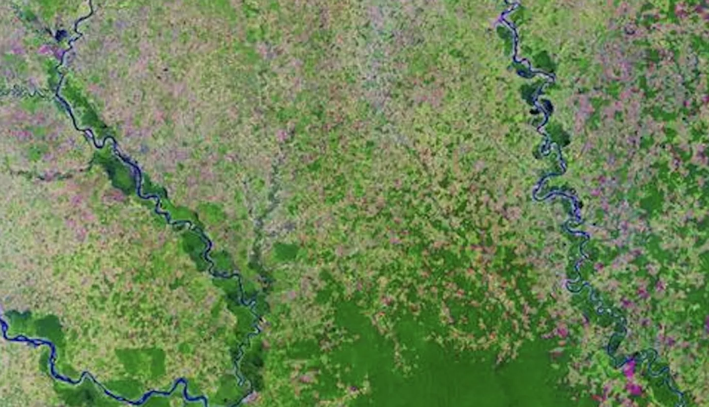
A research institute for the government of Colombia is now incorporating a satellite-data-based biodiversity monitoring system into its conservation practices. The effort is supported by an Ecological Forecasting project on research work in Colombia being led by the American National History Museum in New York City.
"As one of the most biodiverse nations in the world, Columbia holds an exceptional burden to protecting life on Earth," said Keith Gaddis, the program manager for Ecological Forecasting.
In an event held at the museum on Wed., March 30, 2022, the museum signed a memorandum of understanding with Colombia’s Alexander von Humboldt Biological Resources Research Institute.
The work will inform key decisions about protected area design and monitoring strategies in Colombia, contributing to meeting and maintaining the country’s ambitious biodiversity conservation targets.
“As we continue to see striking levels of biodiversity loss around the globe, Colombia set a goal of conserving 30 percent of its surface by 2022, part of a larger global commitment made by around 70 countries to promote biodiversity through the creation of protected areas and ending deforestation by 2030,” said Mary Blair, the leader of the project.
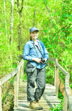
Blair is also the Director of Biodiversity Informatics Research at the Museum’s Center for Biodiversity and Conservation (CBC). More about Blair's work can found at the profile of her titled, Mary Blair: Creating Better Biodiversity Maps.