This week, NASA and the University of Washington are holding a "virtual hackathon" to prep for using data from a NASA satellite that will measure the world's water. Faisal Hossain says shelter-in-place orders meant he and other conference organizers had to pivot quickly from their planned in-person event.
"Originally, I had zero skills with teaching courses in an interactive manner online, but then the shutdowns happened, and we had to grow up very fast," he said. Hossain is a hackathon organizer and professor at the University of Washington and is also one of the leads of the Application Working Group for the NASA Surface Water and Ocean Topography satellite (SWOT). He said that while initially the change was a challenge, the benefits of a virtual event may outweigh in-person hackathons, for example now there's little to no travel costs and international partners can take part in portions of the event more easily from different time zones.
"Now we have training videos recorded ahead of time for users to prep for the live session; graduate student "hacker helpers" ready to 'look under the hood' remotely for users facing difficulties with figuring out the value of SWOT," Hossain said. "It's so very exciting."
Scheduled for Tuesday, May 26 to June 1, 2020 the SWOT Hackathon allows early adopters of SWOT-like data to spend an intense few days focusing on training, applying and troubleshooting how they will might use SWOT data to assess its societal value.
"Because of course we don't have any data yet, we've created something like a "flight simulator" which we call the SWOT simulator that our early adopters can use so they can identify issues they might have in the future with actual data after the launch of SWOT," Hossain says.
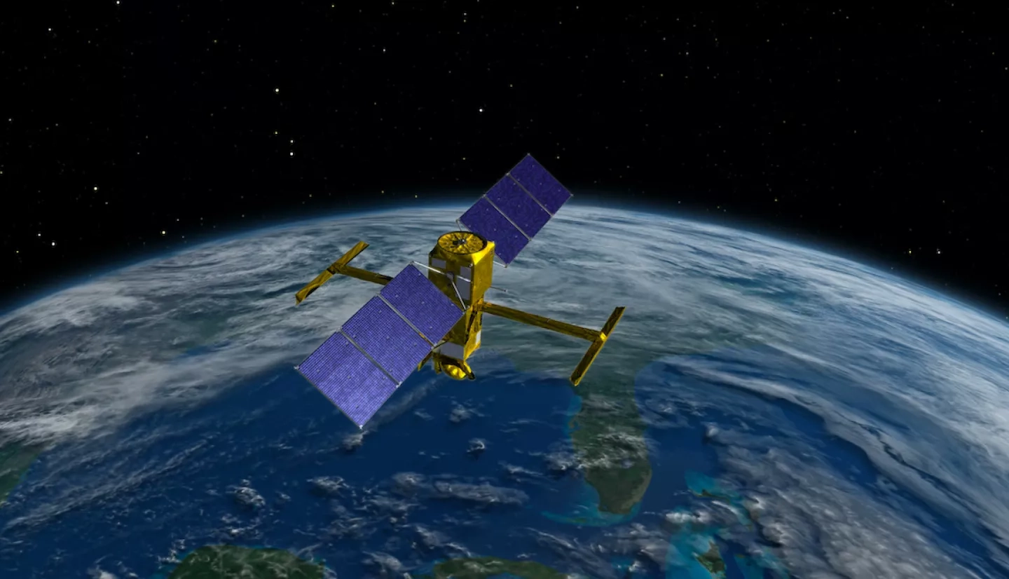
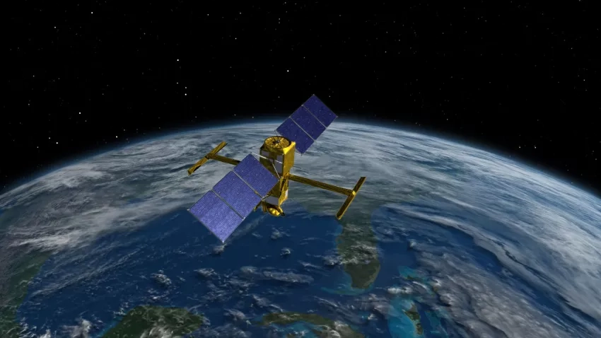
Scheduled to launch no earlier than April 2022, the SWOT satellite will create the first-ever global survey of Earth's surface water and map ocean surface height with unprecedented detail. NASA and the French space agency Centre National d'Études Spatiales (CNES) have agreed to jointly build, launch and operate the spacecraft.
The SWOT Early Adopter program is designed to expand the user community with tangible and potential applications of SWOT data, provide feedback on potential data products prior to the satellite's launch, and to accelerate the use and integration of SWOT data once the satellite has launched.
SWOT early adopter projects include measuring water levels in the remote Redberry Lake in Canada, estimating river discharge and reservoir operations in India, monitoring water logging in Pakistan, understanding flood preparedness in Myanmar, monitoring the Rhine estuary and the North Sea and contributing to the forecasting skill of the U.S. National Water Model.
The goal of the hackathon is to give these early adopters one-on-one, hands-on experience with simulated SWOT data, fix coding or software obstacles that may arise and inspire more potentially data applications.
"The idea is to push a little bit on creative ideas on using the mission data," said Brad Doorn, program manager of the Water Resources program area. "To bring people together, maybe people outside our normal communities and say 'Hey, cut loose. Tell us what we don't know.'"
Results of the hackathon will be shared with the wider NASA community in June.


