Keith Weber remembers the first time he experienced the aftermath of a wildfire.
"I remember the fluffy ash that seemed to cover everything," Weber said. "I recall stomping through what was previously a mature Douglas fir forest in the Chamberlain drainage basin of western Montana. I also remember thinking about the power of those fires and how quickly they changed the landscape—and wondering how long it will take before the mountains would recover."
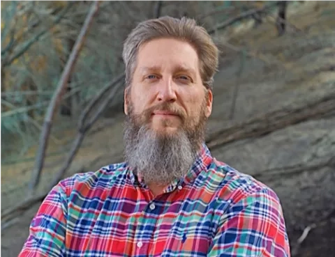
Now Weber is the lead scientist for NASA Applied Sciences Program-funded RECOVER project. RECOVER stands for Rehabilitation Capability Convergence for Ecosystem Recovery and includes a pioneering tool states use to coordinate their wildfire response.
The "Aha Moment"
The moment that inspired Weber to develop the NASA RECOVER tool was a meeting with colleagues at the Bureau of Land Management (BLM). They were going to numerous websites, looking for maps and spatial data to download about burned areas; mining for data on landslides, the potential for soil erosion and impacts on wildlife and fish habitats.
"They were explaining what they need to do following a wildfire to prepare a post-fire management plan," Weber said. "That was my aha moment."
"Why can’t we create a system where all these data are kept current and immediately available to support fire managers? What’s more, why not create all this in a web map?"
Years in the Making
When Weber was just beginning his undergraduate studies at the University of Wisconsin, Madison, he thought his major in ecology and wildlife biology kept him firmly planted on Earth – he didn’t expect to work with NASA. "Like most students, and the general public, I thought NASA was all about sending rockets into space."
In the 1980s, Weber had an early interest in an emerging technology called Geographic Information Systems (GIS). GIS is a way to map the changing landscape of Earth.
"Back then, very few, if any, schools offered a degree in GIS," he said. "Instead, a student interested in GIS like myself simply took every course offered."
One of those courses was all about satellite remote sensing and introduced Weber to Landsat. A joint NASA-U.S. Geological Survey (USGS) program, the Landsat series of satellites is America’s longest running, space-based record of Earth’s land. Weber didn’t know it then, but that was the beginning of a long professional relationship – "I have been using Landsat ever since!"
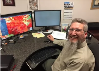
RECOVER uses Landsat imagery to quickly provide information for response teams in the wake of a wildfire. RECOVER incorporates information like landcover, local topography and soil composition to provide 26 layers of data in as little as 5 minutes. Fire management agencies can use this information to better understand the reach and severity of each new fire during and after the blaze.
The Big Test
It wasn’t until 2013 that RECOVER marked its debut, when the Stateline Fire burned across the Idaho and Utah border. "RECOVER was not fully automated at that point, but we still delivered the data and a very powerful web map in just a few hours," Weber noted. "That by itself was a huge time saver as the agencies typically spent up to four days acquiring the same GIS data."
Weber added that the next nail-biter was when the RECOVER project team finished automating the RECOVER tool and taught agency users how to create their own self-service RECOVER maps. Fortunately, that too was a success. "Everything worked perfectly. What a relief. Happiness and indeed satisfaction! And a huge thanks to my team of programmers and data scientists who pulled it all together."
Building on its immediate success, NASA RECOVER had a record year in 2018. "RECOVER was used more in 2018 than in any previous year, including extensively assisting managers on California’s Woolsey fire," Weber said. "In fact, RECOVER’s use in 2018, more than 50 fires, was nearly equal to its total use prior to 2018. That is a milestone for us. RECOVER has become an important tool in the fire manager’s toolbox."
Rehabilitation planning using RECOVER saves days of staff time, and makes it easier to identify areas at risk of landslides or in need of reseeding or other post-fire treatments. The program is so popular that its use has spread by word of mouth – fire teams who use it in one state tell others about the tool. Land managers and fire response agencies have turned to RECOVER to reduce response time when a matter of minutes can make a difference. As states plan for 2019, Weber is proud to know that RECOVER continues to provide value to the public and end users in the face of emergency.


