Crop monitoring programs can help farmers better manage their fields, and help agriculture government officials better plan responses to natural events like droughts and floods that can lead to food insecurity.
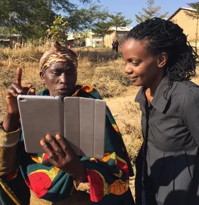
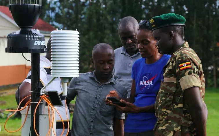
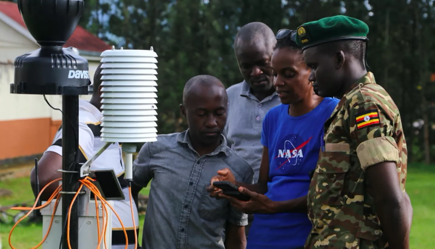
Bringing the power of NASA satellite data into these programs is in the hands of Catherine Nakalembe, a principal investigator for SERVIR, a joint venture between the Capacity Building program area and the U.S. Agency for International Development. Her projects involve working with countries to launch or improve their crop monitoring programs that can help farmers throughout the growing season.
Nakalembe grew up in Uganda and came to NASA via her work in satellite data and mapping at the University of Maryland. Now through her work with SERVIR and the Water Resource program, Harvest. Harvest is NASA’s food security and agriculture program at the University of Maryland, she brings her expertise to decision makers, farmers and others in eastern and southern Africa, helpling them better track the future of their food supplies.
Read more about Nakalembe at her NASA profile, "An Innovator in International Food Security."