Meet the SERVIR Scientists Helping Communities Manage Water and Hydrological Hazards
Water is central to the story of climate change. As the global climate becomes more unstable, droughts and floods will become more frequent and severe. Similarly, access to clean water is expected to become increasingly unequitable. Whether facing too much water or not enough, how can communities prepare for the increasingly uncertain future of water? SERVIR’s Applied Sciences Team has some answers.
NASA satellites collect vital information about the Earth, from precipitation to temperature to land use. Scientists can use this data to help predict how Earth’s water cycle may change over time. Making this information broadly available means that anyone–especially those in the regions most prone to water insecurity or disasters–can use this data to help make their communities safer and more sustainable.
SERVIR, a joint partnership of NASA and USAID, helps countries in Asia, Africa, and Latin America expand their capacity to use NASA Earth observations for sustainable decision making. The SERVIR Applied Sciences Team (AST) is a group of Earth science experts competitively selected by NASA to collaborate with co-investigators at SERVIR regional hubs, helping ensure that NASA science and technology are accessible and useful. Five members of this team work to ensure communities that are vulnerable to drought and other water-related disasters know how to use satellite data to help predict when these disasters may occur and prepare in advance.
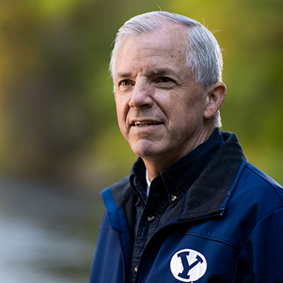
Jim Nelson
PROJECT: Improving Resiliency and Reducing Risk due to Extreme Hydrologic Events through Application of Earth Observations and In-Situ Monitoring Information
As climate change significantly increases the frequency and severity of floods around the world, communities of all sizes are demanding faster and more reliable early warning systems. More and more people world-wide live in areas that experience flooding, but lack the funding and physical infrastructure necessary for reliable flood warning systems. Building a system that can automatically give at-risk communities an early warning is no easy task–it requires a bird’s-eye view of an entire river basin, understanding the weather and physical geography of an area that could span hundreds or even thousands of square miles. Making flood monitoring resources more accessible has immense potential to save lives and build stronger communities, and that’s where Jim Nelson and his lab step in.
Dr. Jim Nelson is a leading expert in hydrology and flood modeling seeking to put the most advanced streamflow forecasting resources into the hands of communities around the world, including those served by SERVIR’s Amazonia hub. A professor in Brigham Young University’s Department of Civil and Environmental Engineering, Nelson’s lab is responsible for much of the leading hydrological forecasting software available today. For the past few years, Nelson and SERVIR Amazonia have been meeting with government agencies in Brazil, Colombia, Ecuador, and Peru to train personnel in flood forecasting. The team has even supported Peru in building its own national-level forecasting system.
“As in many parts of the world people in the Amazon region hunger for the kind of water information that leads to the intelligence necessary to forecast extreme events with sufficient lead time to make decisions that saves life and property,” Nelson said. “We have been fortunate to work with some of the very best people in the region to elevate national capacity to put to use the valuable information developed through the NASA supported SERVIR and GEOGloWS projects.”
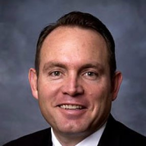
Norm Jones
PROJECT: Geospatial Information Tools That Use Machine-Learning to Enable Sustainable Groundwater Management in West Africa
West Africa’s Sahel region is becoming increasingly drought prone, and as countries in the region prepare for a future with less rainfall, their attention is turning to groundwater. Despite the region’s dry conditions, it is home to several large aquifers that can be tapped to provide water to drought-affected communities. However, if the region is to be truly prepared for a changing climate, it needs to “look inside” those aquifers and understand their volumes and the refill rates so that it can use the groundwater sustainably. Researching something that you can’t see is tricky, but NASA’s Earth observing satellites can be surprisingly helpful for understanding the water hidden beneath the ground.
Dr. Norm Jones is a groundwater hydrologist at Brigham Young University and a leading expert in groundwater modeling. For the past three years, Jones has worked to better guide the sustainable abstraction of groundwater in semi-arid countries like Niger. The Gravity Recovery and Climate Experiment (GRACE) mission, a collaboration of NASA and Germany’s space agency, is able to measure subtle imbalances in gravity to detect locations on Earth’s surface that have greater mass–such as over large aquifers. Combining this data with satellite data on precipitation and land cover, Jones and the SERVIR West Africa team have found evidence that groundwater in southern Niger has significantly increased over the past decade–a discovery that could have major implications for water security in the region.
“Characterizing groundwater in data sparse regions like West Africa can be particularly challenging,” Jones said. “NASA Earth observations are invaluable in augmenting in situ data and helping stakeholders manage groundwater in a sustainable fashion.”
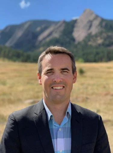
Evan Thomas
PROJECT: In-Situ Data Collection with Remote Sensing for Machine Learning Parameter Estimates and Improved Hydrologic Models for Flood, Drought and Agricultural Yield Forecasting
Forty million people in east Africa are facing the impacts of unprecedented drought, and must carefully manage their water resources to face a changing climate. In places like northern Kenya, communities often rely on groundwater wells as their primary source of affordable, reliable drinking water. In particularly drought-prone regions, effective early warning systems for groundwater shortages are imperative for keeping communities safe and preventing humanitarian crises, but these systems are often incredibly resource intensive. To be comprehensive, they require data on not only existing groundwater, but also forecasted water demand, weather conditions, and land use.
To help lower the barriers to such a system, Dr. Evan Thomas–an environmental engineering professor at the University of Colorado, Boulder–has worked with SERVIR Eastern & Southern Africa to build DRIP: the Drought Resilience Impact Platform. DRIP is a web tool that combines satellite data with information collected from groundwater sensors at wells and boreholes to provide a holistic view of water demand in Eastern Africa. DRIP is already being used by Kenya’s National Drought Management Authority to publish county-level drought warnings and roll-out targeted interventions like water trucking, well repair, food aid, and cash transfers.
“Water insecurity is increasing in this region with increased severity and frequency of drought, in part because of climate change,” Thomas said. “DRIP’s work with SERVIR can help increase drought resilience, and NASA satellite data can help us do this cost effectively.”
Dalia Kirschbaum
PROJECT: A Landslide Hazard and Risk Assessment System for SERVIR-Mekong
In Southeast Asia, heavy rainfall, deforestation, and mountainous terrain create optimal conditions for deadly landslides. When tropical cyclones or other storms deliver intense or prolonged rainfall, the excess water can cause the top layer of earth to become heavy and unstable. Resulting landslides not only have the potential to harm people directly, but also to cause costly damages to infrastructure or cut off roadways. Greater awareness of the risk and exposure to landslides is thus a priority for local communities wanting to protect infrastructure, plan resilient communities, and act proactively to protect lives.
Dr. Dalia Kirschbaum is the Director of the Earth Sciences Division at NASA’s Goddard Space Flight Center and is one of the world’s leading experts on rain-triggered landslides. Kirschbaum’s previous experience as research scientist, disaster response coordinator and as the Chief of the Hydrological Sciences Laboratory have been foundational to the development of the Landslide Hazard Assessment for Situational Awareness (LHASA) model. The tool brings together satellite data on rainfall and terrain with information about land cover and land use to better, allowing users to identify slopes likely to become unstable when monsoonal rains arrive. For the past three years, Kirschbaum has worked with SERVIR Mekong to tailor LHASA for the unique needs of the region.
“We approach landslide hazard and risk assessment from multiple scales, from local mapping and modeling to global analysis. With our semi-automatic landslide detection methods, we use imagery to map landslides in a matter of hours, which would normally take days to weeks to map manually,” Kirschbaum said. “Landslide nowcasting also allows us to identify near-real time estimates of potential landslide activity. When we add global precipitation forecasts, this gives us a 1-3 day forecast. Training and local engagements help increase stakeholder capacity to access and use these data and models.”

Hyongki Lee
PROJECT: Operational Services for Water, Disaster and Hydropower Applications for Lower Mekong Populations Using NASA Earth Observations and Models
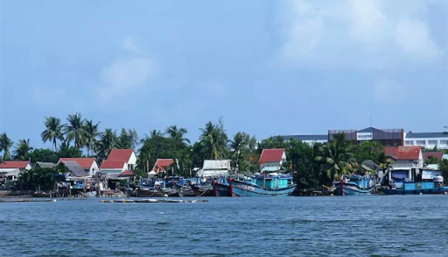
The well-being of the Mekong River is central to the economy, politics, culture, and ecology of Southeast Asia. However, monitoring the Mekong’s water levels in a timely and efficient manner is fraught with logistical challenges. The scarcity of stream gauges in the region and a lack of coordination between hydroelectric dams in different countries make it harder to predict floods or manage reservoirs. Since 1995, the Mekong River Commission (MRC) has worked with the national governments of Thailand, Laos, Cambodia, and Vietnam to manage water resources and economic development in the Lower Mekong River Basin. With climate change and urbanization placing more stress on the Mekong, the MRC needs the best tools available to sustainably manage their water resources.
To do this, Dr. Hyongki Lee, at the University of Houston, co-investigator Dr. Faisal Hossain at University of Washington, and SERVIR Mekong have designed a set of services that use satellite data to work around the lack of ground data and the complications posed by international differences in dam operations. The team has developed tools including the Reservoir Assessment Tool (RAT-Mekong) and a tool for forecasting flood extent that help authorities study past floods, anticipate potential floods, and better manage water resources. These tools help authorities like the MRC to both reduce flood risk and ensure a reliable water supply for millions of people.
“The goal of this project has been to empower stakeholder agencies of the Lower Mekong region to build capacity to independently monitor reservoir operations and predict water availability using satellites and thereby allow robust decision-making in flood and drought management,” Lee said. “RAT-Mekong that we have developed has mobilized the Mekong River Commission to adopt the tool and experience first hand the vantage of space and open-source modeling in taking proactive measures against extremes that are caused by man-made or natural causes beyond its control. In short, RAT-Mekong represents a pathway to improving resilience and livelihood of people in the Lower Mekong to ensure continued development.”
--------------------------------------------------------------------------------------------------------------
One of the first and foremost ways that climate change will shape the future is by drastically altering Earth’s water systems. Communities all over the world are already adjusting to a climate reality in which harsh droughts and severe flooding are increasingly widespread, often occurring in the same communities. In the near future, communities of all sizes will need greater capacity to map, monitor, and forecast changes in local water systems to make informed, sustainable decisions in a world with higher stakes. SERVIR’s Applied Sciences Team is helping bring together satellite technology and ground observations to help communities get ready for that future. With thorough engagement with organizations like Kenya’s Drought Management Authority or the Mekong River Commission, these efforts have the potential to guide decisions that impact millions of people. When communities can rest assured that decision-makers have the best possible information to manage water sustainably, they are one step closer to a climate resilient future.
This article is the fourth and final in a series highlighting members of the SERVIR Applied Sciences Team. Please see our previous installments highlighting our current projects in food and agriculture, land management, and weather/climate forecasting.

