Corn is the most widely grown crop in Nebraska – the National Agricultural Statistics Service also estimates that the agriculture industry and its related services account for one in four jobs in the state.
Nebraska is home to the National Drought Mitigation Center (NDMC) at the University of Nebraska-Lincoln. Together with the National Oceanic and Atmospheric Administration (NOAA) and the U.S. Department of Agriculture (USDA), NDMC produces the U.S. Drought Monitor, a weekly map of drought conditions across the U.S using NASA Earth observations. These maps are used routinely to better manage limited water supplies and distribute drought aid.
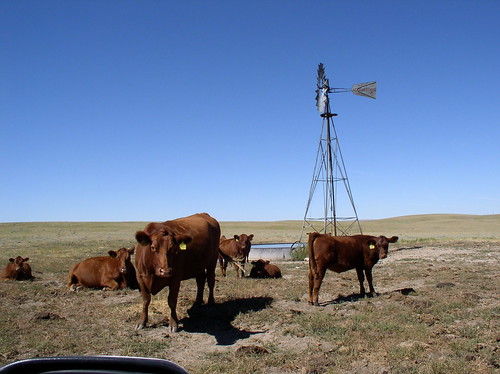
The USDA Livestock Forage Program (LFP) is one way the agriculture community uses the U.S. Drought Monitor. LFP compensates eligible livestock producers who have suffered grazing losses due to drought or fire. It uses U.S. Drought Monitor ratings of severe, extreme and exceptional drought to determine eligibility for compensation on a county basis.
From October 2011 through December 2014, LFP disbursed more than $532 million for Nebraska’s drought-related grazing losses of livestock. In 2012 alone, when Nebraska suffered one of its worst droughts on record, the state received a total of almost $269 million.
“The novel use of satellite-based gravity data in combination with advanced modeling techniques has given us a unique perspective on groundwater that was not resolvable through just ground-based observations.”
–Brian Wardlow, National Drought Mitigation Center
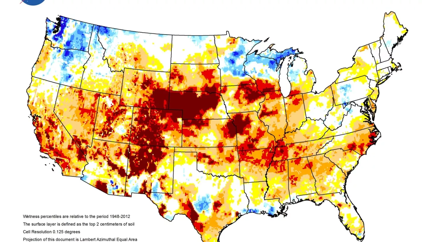
Looking to give the U.S. Drought Monitor a more complete picture for its assessments, a NASA Earth Applied Sciences project, led by NASA hydrologist Matt Rodell, developed new drought indicators using Earth observations from ground data and NASA satellites.
Particularly useful was data from the recently ended GRACE (Gravity Recovery and Climate Experiment) mission. Consisting of a pair of satellites that orbited in tandem about 285 miles (459 kilometers) above the ground, GRACE detected small variations in the Earth’s gravitational field, which helped determine changes in the amount of water stored above and below the land surface; including snow, surface water, soil moisture and groundwater.
For this project, Rodell’s team combined GRACE observations with precipitation, temperature and solar radiation data. The team used high-resolution numerical modeling to develop a continuous record of soil moisture and groundwater dating back to 1948. With this, the team produced weekly maps of wetness conditions in United States soil and the underground water in aquifers. The results augmented existing data available to assess droughts and have now become a part of the NDMC’s routine production.
“These maps provided regional to national-level water resource information that was previously unavailable to policy and decision makers,” explained NDMC’s Brian Wardlow.
After exceeding its expected lifespan by 10 years, GRACE’s mission ended in 2017. The GRACE Follow-On (GRACE-FO) mission launched in 2018 to carry on and expand on the work of its predecessor with new technologies. “We are all ready to begin incorporating GRACE-FO data into our drought indicators,” Rodell said. In the meantime, Rodell’s team has been using other Earth-observing systems for the meteorological modeling data it needs to produce the weekly maps. “When [the GRACE-FO data] are available, we will incorporate them using a process called data assimilation, which essentially aims to produce the best estimate using both the model estimate and GRACE observations,” Rodell added.
The team posts its weekly groundwater and soil moisture maps online, allowing anyone with an interest in agriculture and water resources to tap into the data for their own assessments and decisions. The maps are especially useful in helping water resources managers differentiate between short-term and long-term drought.
The GRACE-based data products may ultimately support long-term planning, as decisions on issues such as disaster aid, construction of dams and water allocation rely on accurate assessments of drought, too. Wardlow emphasized, “The novel use of satellite-based gravity data in combination with advanced modeling techniques has given us a unique perspective on groundwater that was not resolvable through just ground-based observations.”
This story is part of our Space for U.S. collection. To learn how NASA data are being used in your state, please visit nasa.gov/spaceforus.


