A NASA Earth Applied Sciences project has developed a new technology with the National Oceanic and Atmospheric Administration (NOAA) for their tsunami early warning system, allowing the system to potentially forecast tsunami
The prototype of the early warning system is now deployed at NOAA
“Our relationship with NASA has been crucial to the development of this satellite-based capability that will lead to more accurate and timely tsunami impact forecasts,” said Mike Angove, U.S. National Weather Service Tsunami Program lead. “Their scientific expertise in addition to supplying crucial data streams and instruments has been the key to developing this Tsunami Early Warning capability.”
Previous methods of tsunami forecasting were difficult to execute in this short time frame of five minutes with certainty, Melgar says, because seismic data for large earthquakes can initially mimic that of a much smaller event. This can cause a costly gap in data at a critical moment. Evacuation time is the most important variable in tsunami mortality rates – Melgar says that the first five minutes can substantially affect how many lives are lost.
“The problem we’re trying to solve is that it’s difficult to produce a tsunami forecast within the first 20 minutes that says when and where a tsunami might occur, or how big the waves might be,” Melgar said. “That’s where GNSS [Global Navigation Satellite System] comes in – it can measure tectonic displacement within the first minute, determine the magnitude of the earthquake, and trigger an alert to the region within those critical first five minutes.”
Melgar’s team is using real-time data from NASA's Global Differential Global Positioning System (GPS) to enable more accurate and timely assessments of the magnitude of large earthquakes, as well as the size and direction of resulting tsunamis. During a large earthquake, entire sections of coast can move by feet – a change GPS satellites can detect almost immediately.
“Incorporating this data from NASA means we can enable emergency response managers to provide actionable tsunami impact information to their communities sooner, giving local residents as much time as possible to take life and property saving actions,” Angove said.
NASA’s expertise and access to Earth-observing data are also valuable tools to help understand the extent of damage in the immediate aftermath. Synthetic Aperture Radar (SAR) instruments can detect fine-scale changes on Earth’s surface. That capability allows researchers from NASA’s Disasters and ARIA programs and their partners to generate maps that identify potentially damaged buildings and infrastructure or assess the extent of floodwaters in the wake of tsunamis.
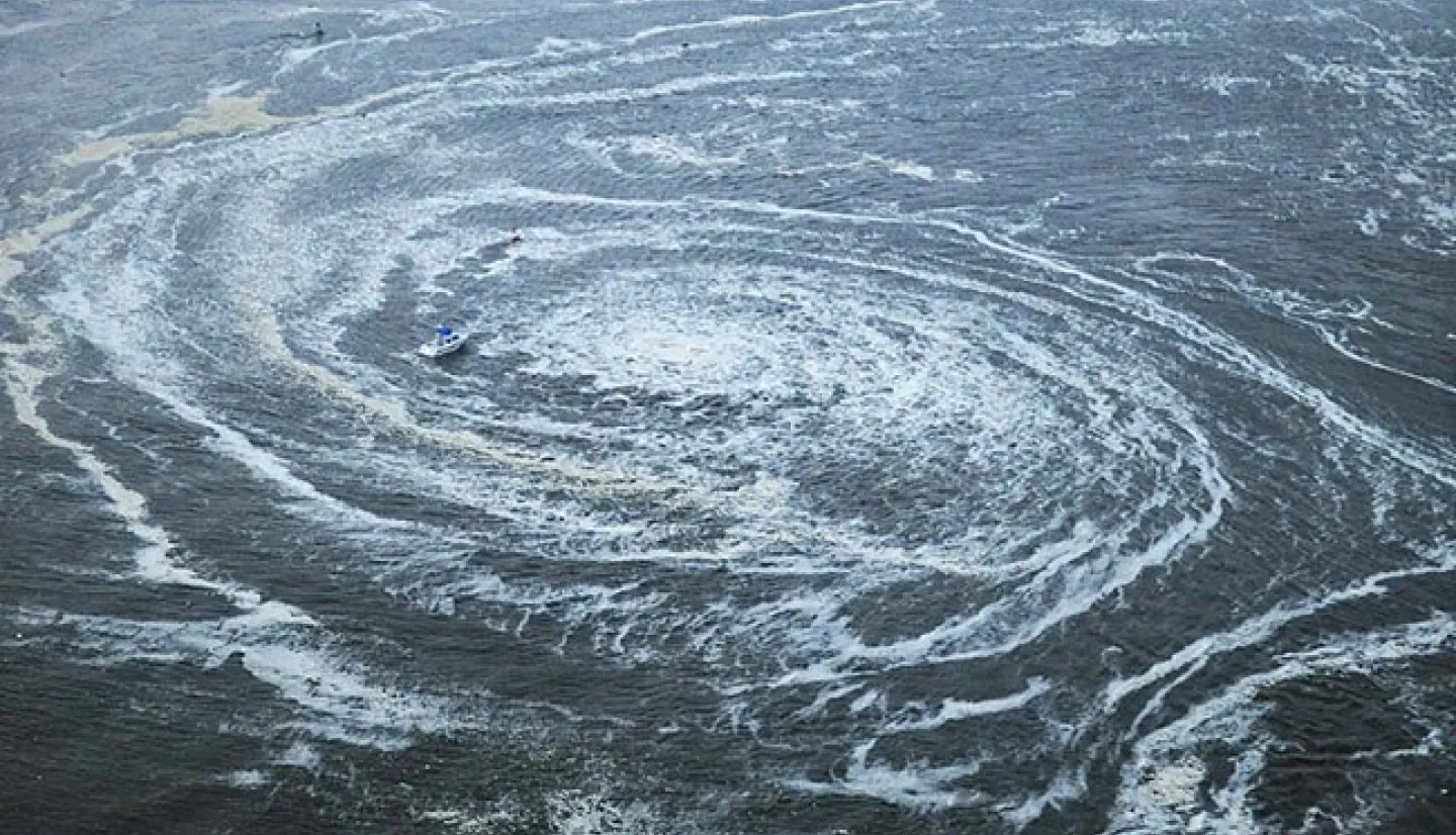
Tsunamis can cause waves over 100 feet tall to bring massive volumes of water miles inland, destroying everything in their path. According to the United Nations, 58 tsunamis claimed more than 260,000 lives in the past 100 years, surpassing any other natural hazard. By the end of this decade, 50% of the world's population will live in coastal areas exposed to flooding, storms and tsunamis.

“The 2011 Japan earthquake happened while I was a grad student,” Melgar said, referring to the earthquake off the coast of Tohoku, Japan that caused tsunami waves that traveled 6 miles inland and killed more than 16,000 people. “There was a rush of interest in how countries could better prepare, and that’s what motivated my Ph.D. research. I wanted to help.”
Fast-forward 10 years, and Melgar is now working with the University of Oregon, the University of Washington and Central Washington University to develop early warning technology. That technology is now in the hands of two warning centers: the Pacific Tsunami Warning Center and the National Tsunami Warning Center, so they can warn local communities within those critical first five minutes.
“Our main focus is the Pacific Northwest to start with, but hopefully this will eventually be a global capacity,” said Melgar. “Already, other countries like Indonesia have deployed their own real-time network because we’ve shown it can be done.”
Next, Melgar and his team will work with partners in Chile and New Zealand to help create their own tsunami early warning systems. He hopes that as each of these systems are implemented, they will help save lives from these rare but devastating events.
More on how NASA data is used to study tsunamis can be found on the Disasters program area tsunami page.
This story is part of our Space for U.S. collection. To learn how communities are using NASA data in your state, please visit nasa.gov/spaceforus.


