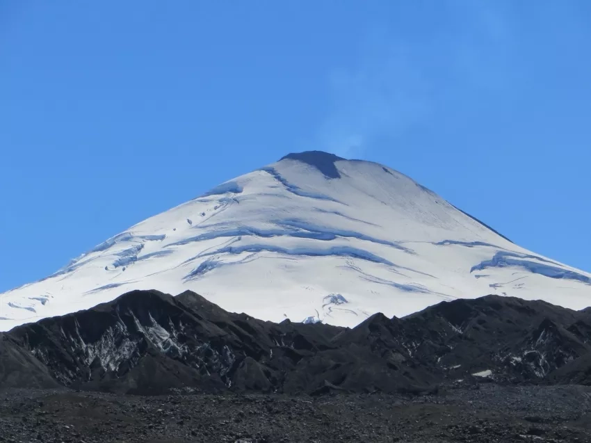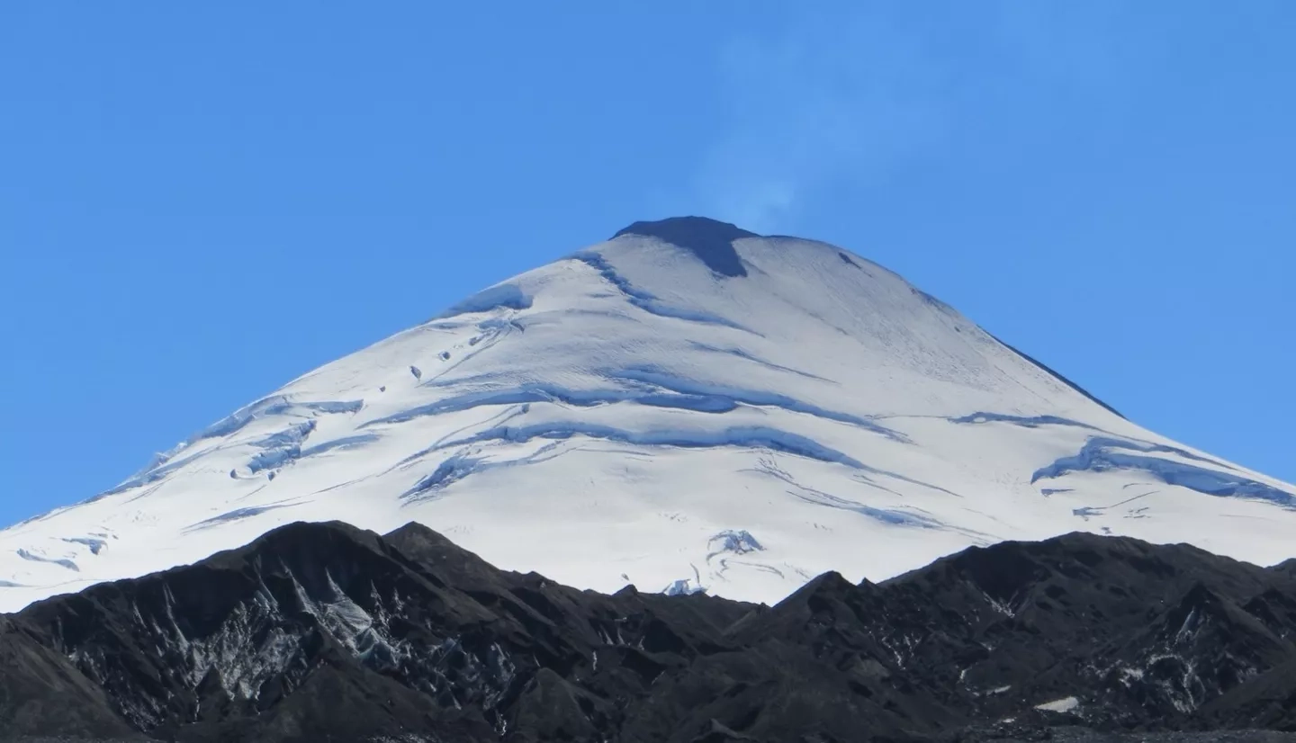
The Smithsonian Institution dedicates itself to spreading knowledge as far and wide as possible – a goal that aligns quite well with NASA’s mission to help understand Earth's interconnected systems. To further these goals, NASA's Earth Applied Sciences Disasters program area teamed up with the Smithsonian to contribute to the Global Volcanism Program (GVP) to teach the public about volcanoes and share Earth-observing data in support of volcano risk reduction, response and recovery. The Smithsonian’s GVP currently contains the world’s most comprehensive catalog of volcanoes and volcanic eruptions, known as the Volcanoes of the World database (VOTW), and is trusted worldwide. The GVP’s website is freely accessible and provides viewers with a highly visible platform for education, outreach, and dissemination of global volcanic data.
NASA’s Disasters program and the GVP have been working together to promote volcanic awareness for almost a decade now. In 2012, NASA first supported the GVP through its MEaSUREs program (Making Earth System Data Records for Use in Research Environments) to archive the climate data record of volcanic sulfur dioxide (SO2) emissions for past and current GVP-reported eruptions. Then, in 2015, NASA and the Michigan Technological University collaborated with the GVP to add multi-satellite volcanic SO2 emissions data to the VOTW.
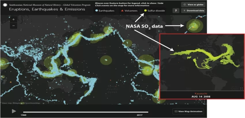
In 2016, the GVP launched “Eruptions, Earthquakes, and Emissions,” or “E3,” a web application that combines data from the USGS, NASA, and the GVP and provides users with a time-lapse animation of volcanic eruptions and earthquakes since 1960, as well as volcanic SO2 emissions since 1978. Before E3, there was no single available source of global datasets on volcanic emissions, eruptions, and earthquakes in a common format. Now, users can access all this consolidated information online and download data straight from the application, providing a simple and intuitive mechanism for scientists and the public to access the data.
“NASA satellite observations are critical for global volcano monitoring, but while NASA data are publicly available, it can be difficult for the general public to visualize and interact with the data,” explains Nickolay Krotkov, Physical Research Scientist at NASA’s Goddard Space Flight Center and principal investigator of the NASA ROSES A.37 research project "Day-Night Monitoring of Volcanic SO2 and Ash for Aviation Avoidance at Northern Polar Latitudes." “Hosting NASA's volcanic emissions data in the Smithsonian GVP’s globally recognized VOTW database, including the E3 application, provides a unique opportunity for public engagement with NASA’s products.”
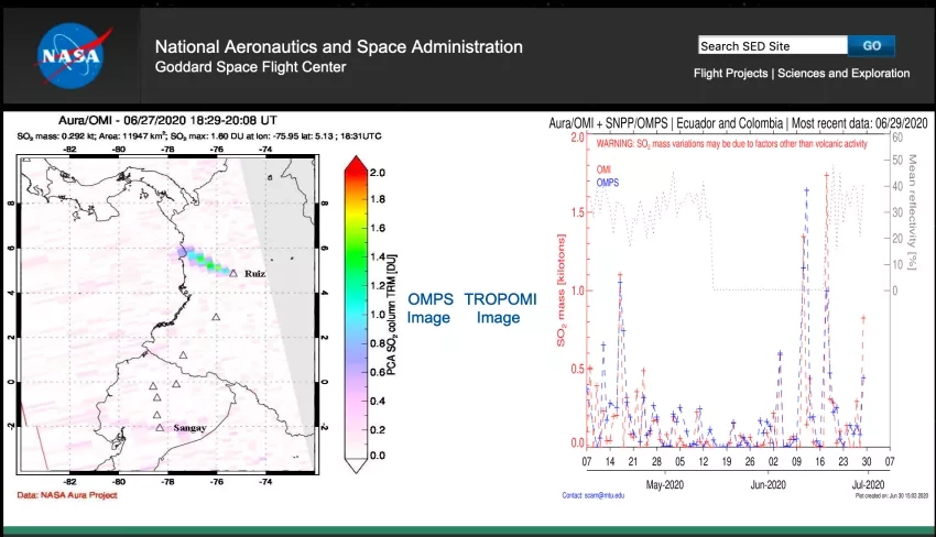
Currently, VOTW hosts NASA volcanic data from NASA’s Ozone Monitoring Instrument (OMI), Ozone Mapping and Profiler Suite (OMPS), and the TROPOspheric Monitoring Instrument (TROPOMI) aboard the ESA Copernicus Sentinel-5 precursor satellite. NASA uses data from these projects to regularly update the GVP database and the E3 application, presenting the Smithsonian with new events and information as they become available.
In 2023, NASA plans to launch a new satellite that will allow for an even more detailed view of the Earth. This satellite, a product of a joint Earth-observing mission with the Indian Space Research Organization (ISRO), is known as NISAR (NASA-ISRO Synthetic Aperture Radar), and is predicted to provide the GVP with even more timely volcanic information. Through working with like-minded organizations such as the Smithsonian and ISRO, the NASA Disasters program can share resources and reach a larger audience, thus furthering scientific discovery and public knowledge at the same time. NASA’s collaboration with the Smithsonian is one of many invaluable partnerships that help NASA turn innovation into action.
Learn more about how NASA supports risk reduction, response and recovery for volcanoes.