As rising ocean temperatures portend increasingly intense hurricane seasons, NASA is working with people around the globe who are charged with coordinating disaster planning, response and recovery to help build sustainable community resilience.
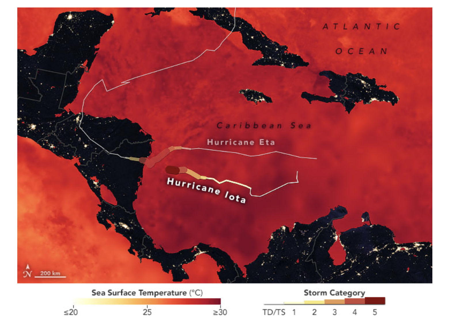
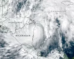
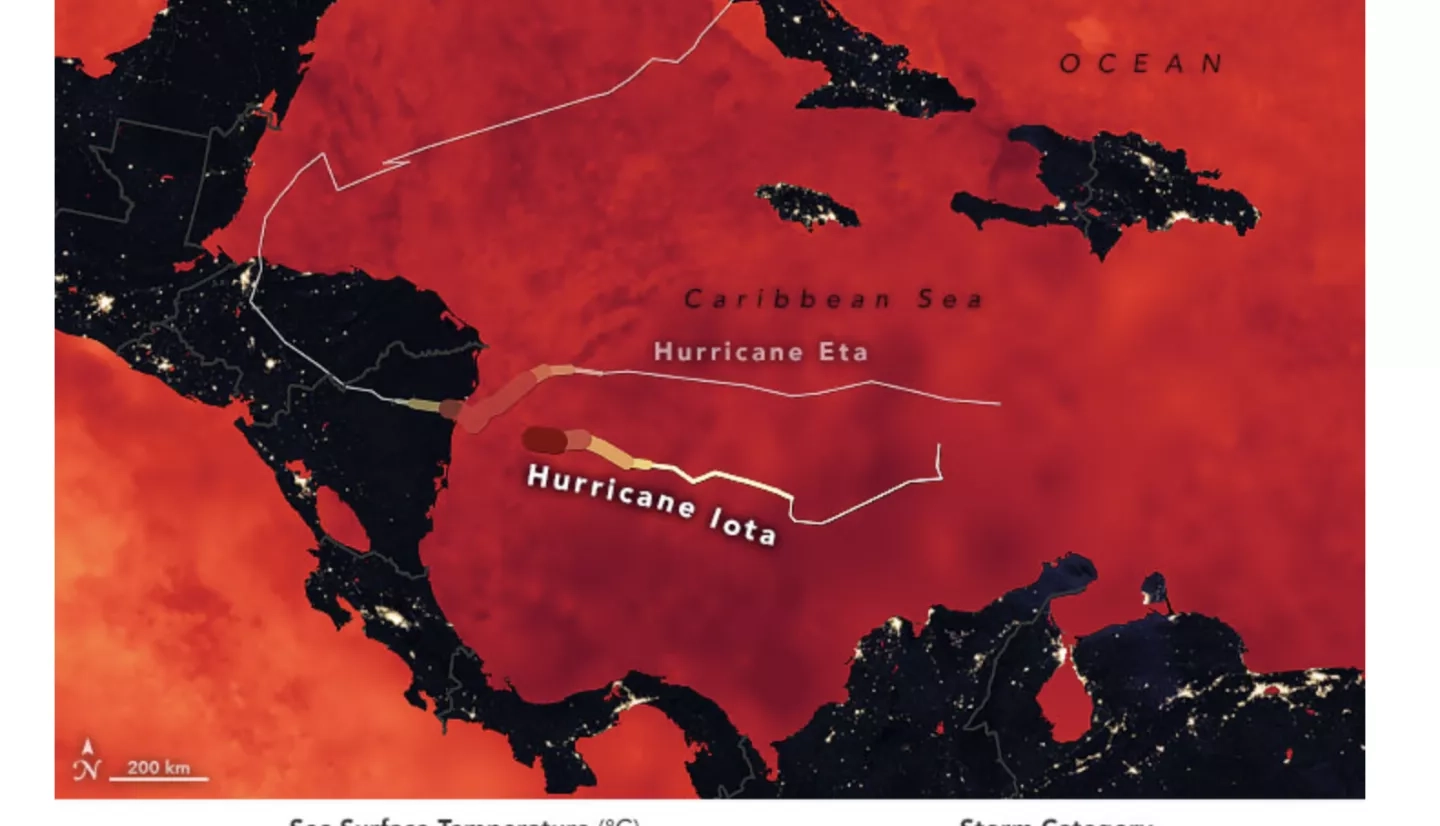
One of those people is Claudia Herrera. She leads the Coordinator Center for Disaster Prevention (CEPREDENAC), a regional intergovernmental organization that manages the international exchange of science and technical information and knowledge in Central America before, during and after disasters occur. When hurricanes Eta and Iota battered the region in November 2020, Herrera and other authorities in Central America worked with NASA’s Earth Applied Sciences Disasters program to track damage in near-real time and support first responders.
Disasters program manager David Green emphasizes NASA’s priority to collaborate with local and international groups to generate data-based products with a global view of Earth that can be applied at the regional level and inform intelligent decisions to protect the lives and livelihoods of regions such as Central America.
More about how Claudia Herrera and others use NASA data is available at the NASA.gov article, After Historic Hurricanes Eta and Iota, NASA Helps Prep Central America for Disasters to Come