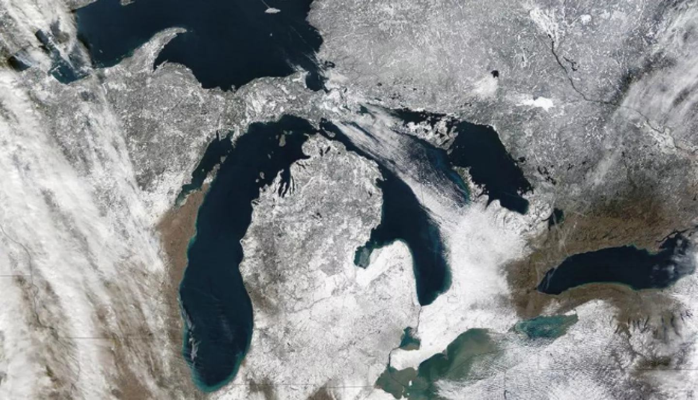
The Great Lakes are battling a growing problem – an invasive wetland reed called Phragmites australis. A regional initiative used NASA satellite data to target areas at risk and support local policies fighting the spread of this invasive species.
“Phragmites are a very serious problem in the Great Lakes basin,” said David Ullrich, executive director of the Great Lakes and St. Lawrence Cities Initiative (GLSLCI). “Mayors all across the Great Lakes and St. Lawrence are trying to deal with this problem in terms of containing, controlling, and eradicating it.”
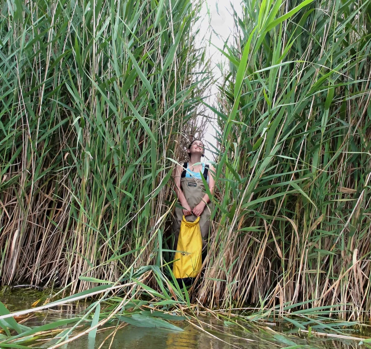
Phragmites are a non-native subspecies of a natural Great Lakes reed, and can quickly take over a location – crowding out native plants and animals with dense stands of stalks that grow more than 15 feet (4.57 meters) tall. “They make wetlands much less attractive to fish and wildlife,” Ullrich cautioned. “They also reduce the natural value of wetlands to cleanse water and help reduce flooding.”
GLSLCI is a coalition of more than 130 United States and Canadian mayors and local officials working to advance the protection and restoration of the Great Lakes and St. Lawrence River. GLSLCI has partnered with NASA’s DEVELOP Program on numerous projects that have focused on Great Lakes conservation. DEVELOP is a NASA Earth Applied Sciences program that leads strategic partnerships seeking solutions to environmental and other Earth science issues.
Using NASA’s eyes in the sky, DEVELOP joined forces with GLSLCI to provide detailed data and management strategies for communities besieged by this weed.
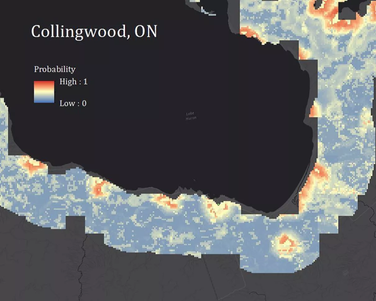
The DEVELOP team collaborated with the Michigan Tech Research Institute (MTRI) in Ann Arbor to build on MTRI’s earlier research on Phragmites in the Great Lakes. For this project, the team’s goal was twofold. The first aim was to create a current risk map based on habitat suitability for Phragmites throughout the Great Lakes basin.
Sean McCartney, a DEVELOP team member, explained the approach: “We focused our study within 10 kilometers (6.21 miles) of the U.S. and Canadian coastline, based on in situ data previously collected and the number of communities impacted by Phragmites.”
The second goal was to create a future risk map for the entire basin through the year 2020. By forecasting when and where the weed would likely spread, the team hoped to help local governments enact policies to plan for and mitigate the spread of Phragmites.
“The Earth observations to map and model Phragmites ... put people in our cities in a better position to take preventative steps in advance to try to limit or stop the spread.”
–David Ullrich, Great Lakes and St. Lawrence Cities Initiative
To do this, the project tapped into precipitation data from NASA satellites and used Earth observations to model variables such as soil drainage and topography. The team produced current and predicted Phragmites risk maps, which gave GLSLCI the guidance it needed for its ongoing monitoring and mitigation efforts.
Later, at GLSLCI’s 2016 annual meeting in Niagara Falls, New York, the DEVELOP team presented its findings. Here, Great Lakes mayors and local officials from the United States and Canada had the chance to see the threat their communities faced from this noxious nuisance.
Ullrich stressed that having DEVELOP participate in meetings like this is especially useful: “The people who have done the work can speak directly with the mayors who are responsible for solving problems – there are no middlemen/women to have something lost in translation.”
For Collingwood, which continues its “Fight the Phrag!” program, the data are helping inform officials where to focus control and eradication efforts around local marshes and shorelines.
“[Using] Earth observations to map and model Phragmites makes it easier because in one image, a person can see the scope of the problem and take preventative steps in advance to try to limit or stop the spread” Ullrich said. “If all of this information had to be gathered from ground-level observations, it would take much longer, be much more labor-intensive, and be much more costly.”


