Openet is a satellite-based data resource supplying crucial water use information in 17 Western U.s. States.
Using the best available science to provide easily accessible satellite-based estimates of water use, OpenET is being used to improve U.S. water management. The data is available on 17 western states, most notably the area covered by the Colorado River basin.
The "ET" in OpenET stands for evapotranspiration, which is the process through which water leaves plants, soils, and other surfaces and returns to the atmosphere. It's a measurement that farmers can use to estimate the amount of water being taken up or used by their fields and crops and that will usually need to be replaced through irrigation or rainfall.
Knowing how much water is transferred to the air allows farmers to better calculate crop water requirements, helping them to use water more efficiently and better plan irrigation. This makes evapotranspiration a crucial measurement for farmers and other water resource managers, especially in the western United States where the majority of the water used by people goes to irrigate crops and produce food.
The primary satellite dataset for OpenET is from the Landsat program, a partnership between NASA and the U.S. Geological Survey (USGS). The most recent satellite in the program, Landsat 9, successfully launched on Sept. 27, 2021.
Because the OpenET system uses open source software and open data sources, it will help water managers establish an agreed upon measure of evapotranspiration across agricultural areas, said lead project scientist Forrest Melton of NASA's Western Water Applications Office.
Different estimates of evapotranspiration have previously been a source of confusion for water managers, he said, explaining that water users and managers currently have to evaluate a variety of methodologies to measure water use and evapotranspiration, which often leads to different numbers and debates over accuracy.
OpenET provides a solution to those debates, said project manager Robyn Grimm. "OpenET brings together several well-established methods for calculating evapotranspiration from satellite data onto a single platform so that everyone who makes decisions about water can work from the same playbook, using the same consistent, trusted data," said Grimm.
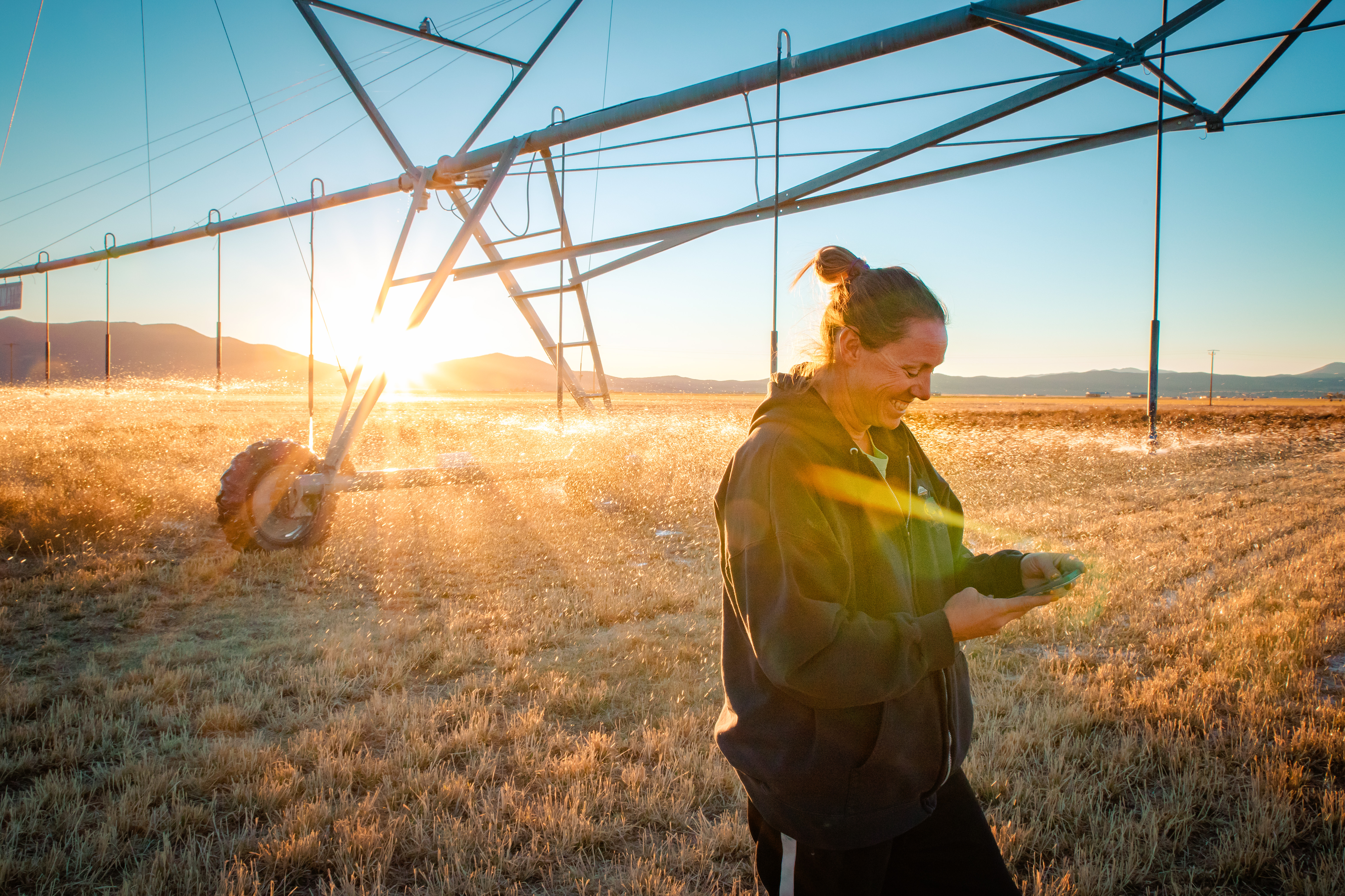
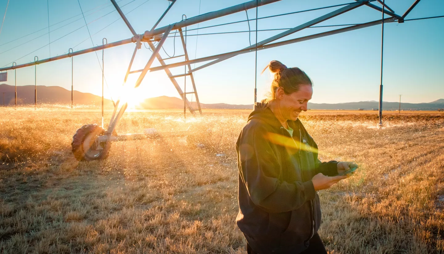
Denise Moyle is an alfalfa farmer in Diamond Valley, Nevada, and an OpenET collaborator. "What OpenET offers is a way for people to better understand their water usage and, more importantly, their water loss through evapotranspiration," she said. "Giving farmers and other water managers better information is the greatest value of OpenET."