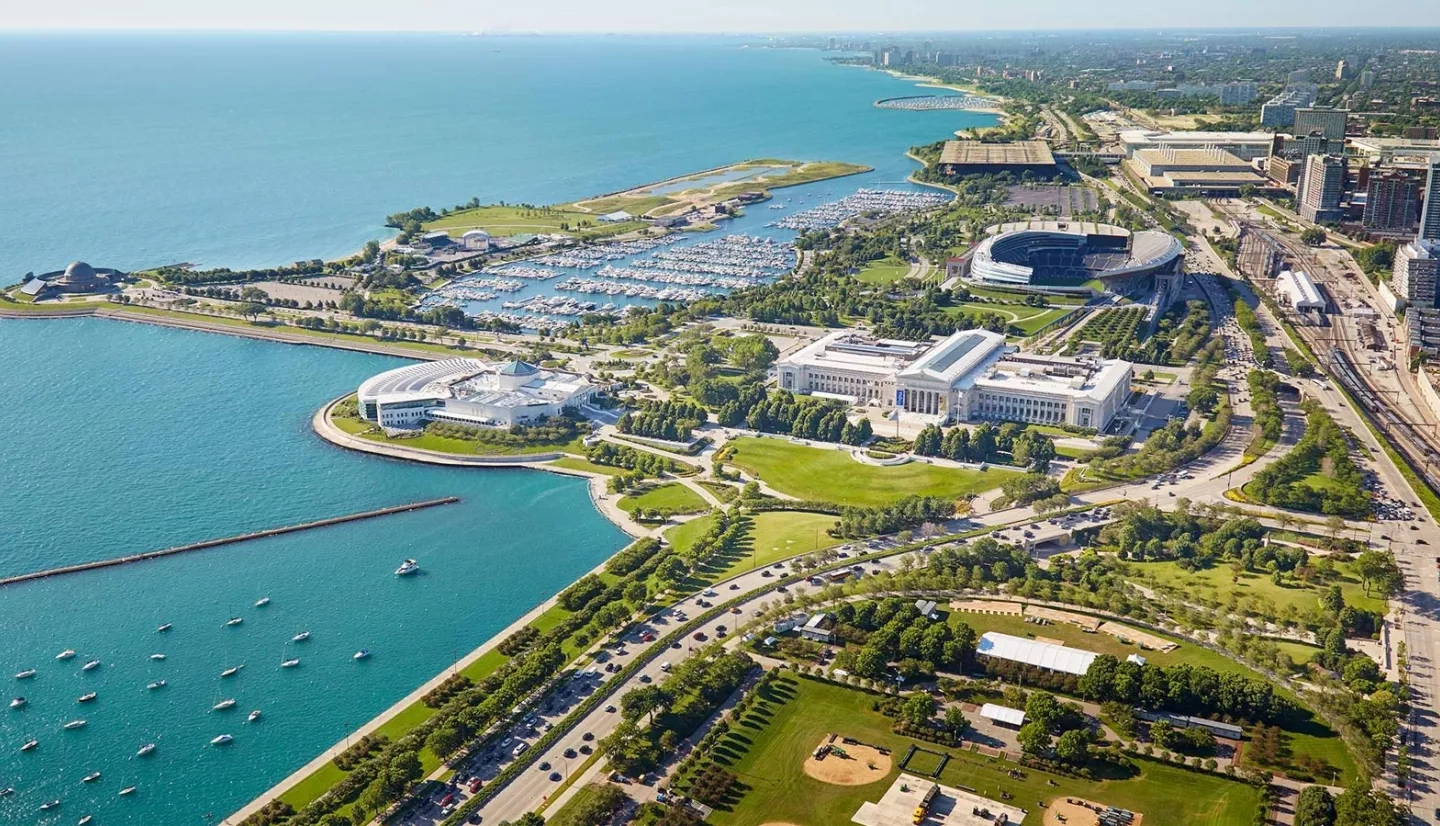
Crowning Illinois’s northeastern border is Lake Michigan, the largest recreational resource in the state and the only Great Lake entirely within the United States. Located about a mile from Lake Michigan’s shore, in the hustle and bustle of Chicago’s Loop, is the Great Lakes and St. Lawrence Cities Initiative (GLSLCI) — a NASA partner for more than a decade.
Since 2008, NASA’s Earth Applied Sciences DEVELOP program has collaborated with GLSLCI on more than a dozen projects for guiding conservation of the Great Lakes. DEVELOP brings participants and partner organizations together to find real-world solutions to environmental and other challenges facing the planet.
GLSLCI is a coalition of more than 130 American and Canadian mayors and city officials that focuses on protecting and preserving the Great Lakes region. “The mission of the Cities Initiative was, and is, to get seats for local governments at Great Lakes and St. Lawrence decision-making tables to exchange best practices for protecting water resources and becoming more sustainable,” said David Ullrich, the now-retired executive director of GLSLCI.

“The advantages for NASA DEVELOP to partner with the Great Lakes and Saint Lawrence Cities Initiative are numerous,” said Kenton Ross, national science advisor for DEVELOP. “First and foremost is the level of access that GLSLCI provides to municipal decision-makers around the Great Lakes region.”
Melissa Soline, a program manager at GLSLCI, said that this access is an important part of this collaboration. “It’s a way to use data to make the policy discussions real. By using remote-sensing and Earth-observing data, we can show decision-makers how their policies – or lack thereof – are affecting the lakes and surrounding communities.”
The DEVELOP-GLSLCI projects have covered the spectrum of environmental issues: using satellites for detecting harmful algal blooms, mapping petroleum residue spills, modeling flood and erosion impacts, monitoring decreasing water levels in wetlands, and managing invasive species.
One invasive species in particular that concerns GLSLCI is the harmful wetland reed called Phragmites australis. Phragmites degrades the ecological value of wetlands and has been quickly proliferating around the Great Lakes. A DEVELOP project created high-resolution maps based on satellite data that gave GLSLCI and city officials the current locations of Phragmites throughout the Great Lakes Basin and predicted where it would spread by 2020.
“The NASA capabilities of remote sensing and visualizing the magnitude and extent of threats is especially important when working on a resource of this magnitude and significance. If all of this information had to be gathered from ground-level observations, it would take much longer, be much more labor intensive, and be much more costly.”
–David Ullrich, Great Lakes and St. Lawrence Cities Initiative
In Illinois, the data showed that several communities on the shores of Lake Michigan, as well as locations along the Chicago Sanitary and Ship Canal and the Des Plaines River, were at a very high risk for Phragmites moving into the next decade.
Ullrich said that having these maps were critical for GLSLCI. “This puts people in our cities in a better position to take preventative steps in advance to try to limit or stop the spread.” He emphasized, “The NASA capabilities of remote sensing and visualizing the magnitude and extent of threats is especially important when working on a resource of this magnitude and significance. If all of this information had to be gathered from ground-level observations, it would take much longer, be much more labor intensive, and be much more costly.”
With several more joint projects kicking off with GLSLCI, Ross stressed the importance of NASA DEVELOP having such a dedicated ally on the shores of Lake Michigan. “We feel the partnership is a vital link to decision-makers in the region,” he said. “We hope to continue partnering with them in the future.”
Published August 29, 2020


