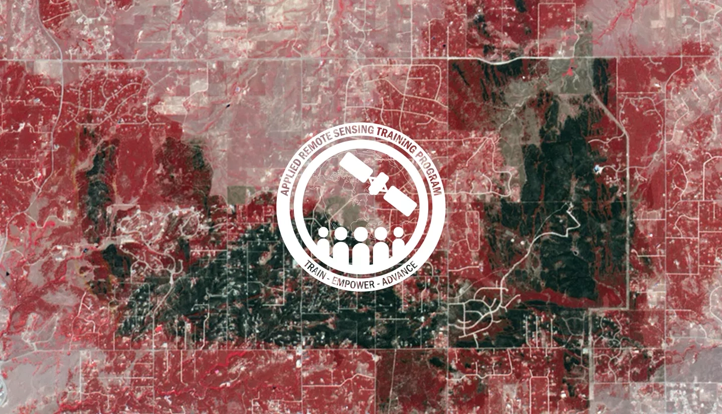
NASA Resources Aid a California Community Devastated by Wildfire
Firefighters in incident command centers worldwide use feeds from NASA's Earth-observing satellites to monitor fires. Instruments such as MODIS and VIIRS (the Moderate Resolution Imaging Spectroradiometer Visible Infrared Imaging Radiometer Suite) have revolutionized firefighters' ability to map fire perimeters and mark hot spots. Staff Sgt. William Wade of the California Army National Guard's Friendly Force Tracking Program explained, "We used to draw maps by hand of where the fire perimeter approximately was. Now with MODIS data, we're able to see irrefutably where that fire was last known to be, and we can make better judgment calls." These data are also used for planning before fire season and restoration after fires.
Read the full story at climate.nasa.gov: A Partnership Forged by Fire


