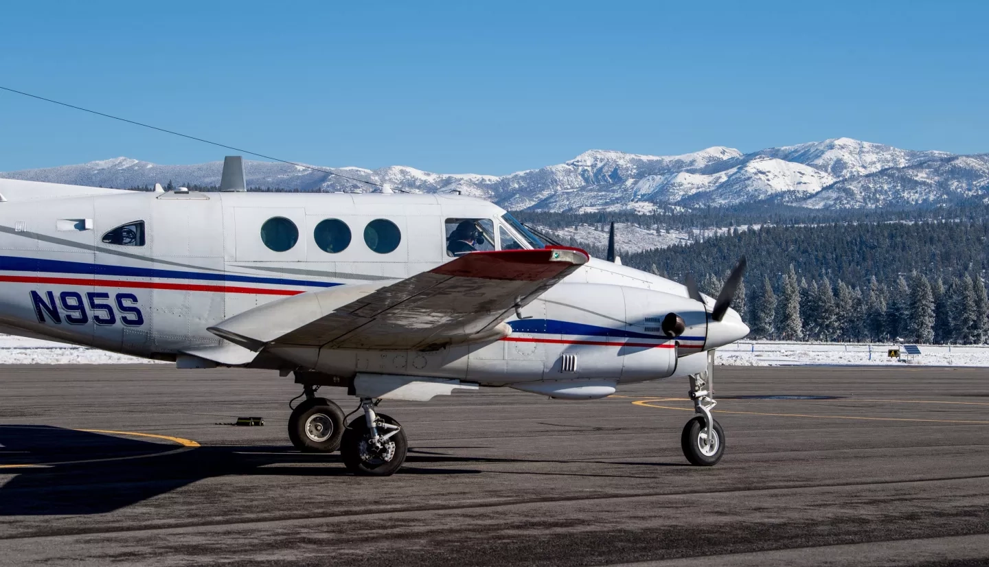
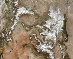
Communities in the American West count on snowpack from nearby mountains as an important source of water – as the snow melts, it trickles down to local groundwater supplies and adds crucial volume to already strained water resources in the region. Regional water departments can better estimate just how much water from snowpack will be available later in the season using Earth observations from NASA satellites and remote sensing technology on planes. The NASA team that originally created these maps and models is now a private public-benefit company called Airborne Snow Observatories, Inc. (ASO).
This NASA team, led by snow scientist Tom Painter, used NASA science and remote sensing to fill a gap in water monitoring. Painter notes that, as the Earth warms, precipitation patterns and the timing of the melting snowpack changes – impacting the quantity of water available and making supplies harder to manage. He said that higher temperatures and lower levels of precipitation continue to affect the American West. Understanding the amount of water available from snowpack is critical for communities facing water crises.
For those who get their water from runoff from melting snow, snowpack monitoring is drought monitoring, Painter explained. A well-below-average snowpack indicates not only low water supply but also other effects of drought, such as higher fire risk and below-normal soil moisture for crops in summer.
But even in years with near-average water levels, it’s historically been difficult to know how accurate previous forecasts were until most of the snow had already melted, Painter explained. So he worked with NASA and his team to come up with a solution that delivers this information to communities – and that team has since spun off into the private public-benefit company ASO, Inc. A public-benefit company is created with the intent to generate social or public good.
ASO is working with the U.S. Bureau of Reclamation (USBR) – the largest wholesaler of water in the country – as well as the states of California and Colorado, to improve their forecasts of water supply. The Sierra Nevada snowpack holds approximately 14 million acre-feet of water each year and is the primary source of water in streams and rivers in California. The California Department of Water Resources (CADWR)’s forecasts inform water allocation decisions by farmers and other water users in California, and they now include ASO’s measurements of snow. In the Colorado River basin, the Colorado Basin River Forecast Center is also using ASO's measurements to update their snowpack and forecasting models.
NASA’s Terrestrial Hydrology Program, Western Water Applications Office (WWAO) and the Applied Science Program helped support ASO’s work prior to its spin-off.
The story of ASO’s growth is an example of the sort of work WWAO does every day, said Dr. Amber Jenkins of WWAO. “Our scientists are pioneers and experts, and NASA’s eyes on the Earth help us see our home planet as never before.” But just as crucial as data and technology are relationships – taking time to build trust with those on the ground who can use the data. “This is something ASO focused on from the get-go and is crucial whenever you want to move science into action,” she said.
More information about ASO can be found at the NASA.gov story Eyes on the Snow as Water Supplies Dwindle, and more about how NASA Earth observations can inform water resource decision making can be found on the Water Resources program area homepage.
