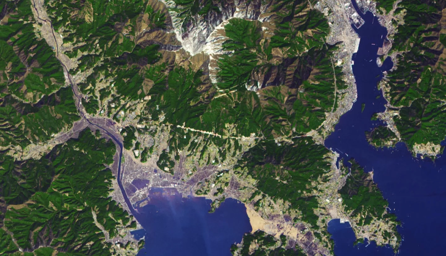
On March 11, 2011, a magnitude 9.1 earthquake jolted the seafloor about 70 kilometers (45 miles) offshore of Japan’s Tohoku region. It was the largest quake recorded in Japan and the fourth largest in the world since seismic recording began around 1900. Within an hour, tremendous tsunami waves inundated much of the eastern Japanese coast, sending 5- to 10-meter walls of water into coastal towns and cities. In Miyako, Iwate Prefecture, the tsunami's runup height—the maximum elevation that water moved upland from the shore—reached 40.5 meters (133 feet) above sea level. Near Sendai, flood waters penetrated 10 kilometers (6 miles) inland.
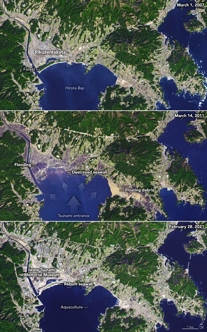
According to the Japan Reconstruction Agency, nearly 400,000 buildings were destroyed or irreparably damaged, and another 750,000 were partially destroyed across the country in March 2011. Nearly 16,000 people were killed and 2,500 are still listed as missing. The meltdown and explosions at the nearby Fukushima Daichi nuclear plant between March 12-15, 2011, added to Japanese citizens' misery and displacement. The World Bank estimated it to be the costliest natural disaster in world history.
Read the full story at NASA Earth Observatory: Ten Years after the Tsunami
According to the U.N., 58 tsunamis claimed more than 260,000 lives, or an average of 4,600 per disaster in the last century, surpassing any other natural hazard. By the end of this decade, 50% of the world's population will live in coastal areas exposed to flooding, storms, and tsunamis. Having plans and policies to reduce tsunami impacts helps build resilience and protect communities most at risk.
NASA’s expertise and access to Earth-observing data are a valuable tool in understanding the mechanisms behind tsunamis and mitigating their risk to society. Reducing evacuation start time is the most critical variable in saving lives when a tsunami is imminent, and rapid access to accurate and easy-to-understand information will equip local and regional leaders to order critical life-saving evacuations as quickly as possible. That’s why NASA actively supports research to understand tsunami hazards better and modernize local tsunami forecasting and early warning systems.
Learn more about how NASA supports risk reduction and recovery for tsunamis.


