Displaying 411 - 420 of 466
Capacity Building Annual Reports
Topic
Resource Type
![Eastern region of the Baa Atoll in the Republic of Maldives. The red indicates areas that would likely be flooded by 2100 according to the most extreme IPCC AR6 Shared Socioeconomic Pathway scenario, as identified through the NASA Sea Level Projection Tool. CoastalDEM, derived from NASA's SRTM sensor, provided elevation data. The base map image was taken in January 2023 by Planet Labs. Shades of yellow and green indicate shallow water and land surfaces. Includes copyrighted material of Planet Labs PBC. All](/sites/default/files/styles/lis/public/2023-04/2023Spring_ARC_MaldivesClimateII_WebsiteImage.jpg.webp?itok=U9qoVeWo)
Topic
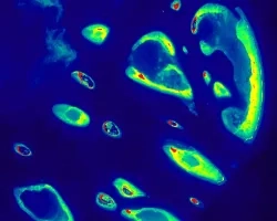
Maldives Climate II (Spring 2023) Team: Ben Dahan (Project Lead), Evan Barrett, Tiffany Hsu, Gabriel Halaweh Summary: The Republic of the Maldives is a low-lying...
Communications Resources for Scientists and Principal Investigators
Topic
Resource Type
Affiliation
Bay Area Environmental Research Institute (BAERI)
Program Role
Applied Scientist
Sativa Cruz (Chicana/Genízaro/Tewa) is an Applied Scientist in the Earth Science Division at NASA Ames Research Center. Following an internship with NASA Hea
Affiliation
NASA Ames Research Center
Program Role
Indigenous Peoples Initiative Lead
Dr. Amber Jean McCullum is a researcher and capacity building specialist in the Earth Science Division at NASA Ames Research Center.
![This image shows the mixed environments near the American Falls Reservoir throughout the year, blended using 2022 summer and winter NDVI false-color composites derived from Landsat 8 OLI and overlaid by a hillshade from SRTM. The white color indicates snowpack in the mountain wilderness, the primary water resource for agriculture and habitats near the reservoir. Bright red denotes marshes and irrigated farms, essential resources for wildlife animals and humans living in Southern Idaho.](/sites/default/files/styles/lis/public/2023-05/2023Spring_ID_IDEco_WebsiteImage.jpg.webp?itok=omiCUyxc)
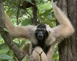
Idaho Ecological Conservation (2023 Spring) Team: Preethi Malur Balaji (Project Lead), Talissa Cota, Kangsan Lee, Melissa McNally Summary: Management Area in Bingham County, Idaho, has...
Affiliation
Morgan State University
Program Role
ARSET Trainer
Carl Malings is an Assistant Research Scientist at Morgan State University.
Affiliation
Jet Propulsion Laboratory - NASA
Program Role
ARSET Instructor
Dr. Erika Podest is an instructor with NASA’s Applied Remote Sensing Training (ARSET) Program.
![Color composite image portraying Wupatki Basin in northwestern Arizona, derived from 2021 LANDSAT 8 OLI/TIRS imagery. This image depicts Pinyon-Juniper Woodlands (PJW), among other vegetation, between the river and mountains in a light green color. Thermal Infrared (TIR) occupies the red band, while the green and blue bands represent the Modified Normalized Difference Water Index (MNDWI) and the Modified Soil-Adjusted Vegetation Index (MSAVI), respectively. The reduced correlation between bands in this comp](/sites/default/files/styles/lis/public/2023-05/2022Fall_GSFC_ArizonaWaterII_WebImage.jpg.webp?itok=yVrQqur8)
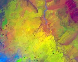
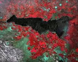
Arizona Water Resources II (Fall 2022) Team: Arina Morozova (Project Lead), Jamal Jeffer, Jessica Birk, Greg Peargin Summary: Pinyon-juniper woodlands (PJW) provide critical and resilient...