Heavy rainfall beginning in mid-May 2021 has caused extensive flooding in communities, farmlands, and roadways throughout Guyana. Reports indicate that the River Branco and Rupununi rivers flooded, and the Guyana Civil Defence Commission reported flooding in the regions of Upper Demerara-Berbice, East Berbice-Corentyne, and Upper Takutu-Upper Essequibo. Although this region is currently in its rainy season, the rains this year have been unusually heavy. According to media reports, over 6,900 houses have been severely affected by the floods over the past several weeks. The International Charter was activated for the event by UNITAR on behalf of the World Food Programme.
The NASA Earth Applied Sciences Disasters program area has activated efforts to monitor the flooding in Guyana with Earth-observing data and assist risk reduction, response and recovery efforts. The program is responding to a request for assistance from the Guyana Civil Defence Commission, building upon relationships established during the 2020 Tradewinds disaster management exercise with U.S. SOUTHCOM.

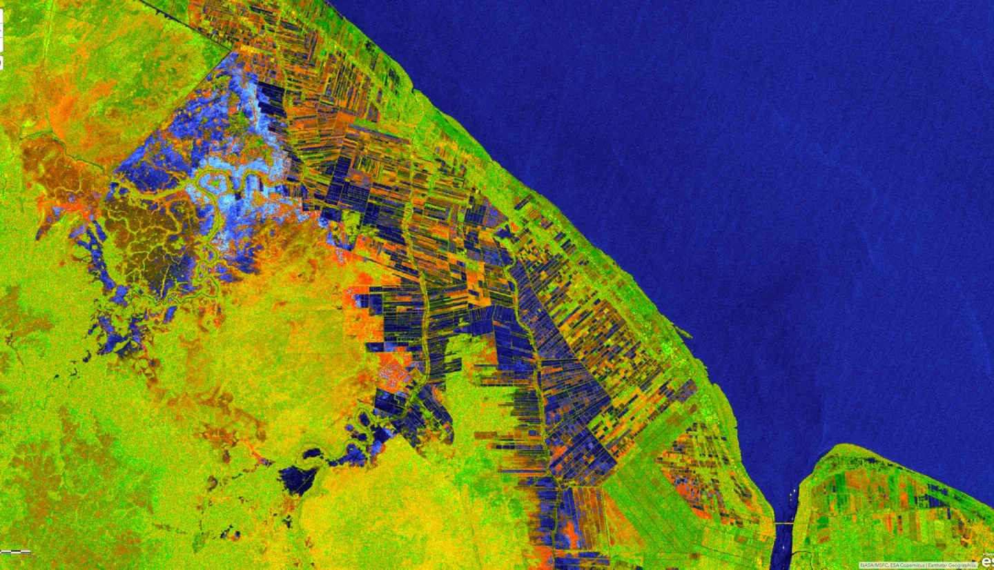
The Disasters program, in conjunction with the Alaska Satellite Facility, has produced RGB composite flood extent maps of the region using ESA Sentinel-1 satellite data, in order to provide an understanding of the extent of flooding and support situational awareness.
The NASA ROSES A.37 research project “Integrating SAR Data for Improved Resilience and Response to Weather-Related Disasters” and the GEO ROSES A.50 research project “Global Rapid Flood Mapping System with Spaceborne SAR Data” are both providing support for the flooding.