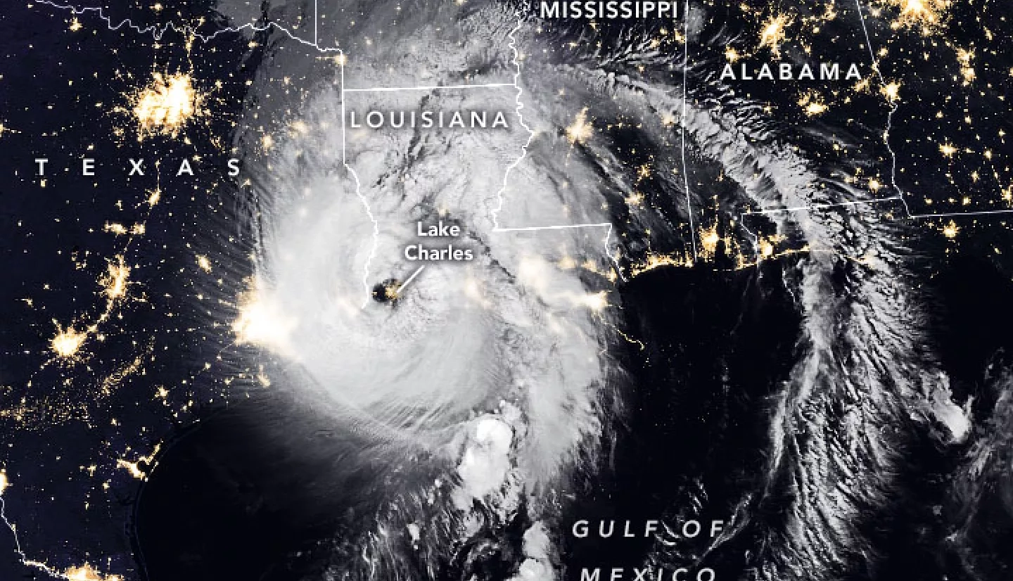
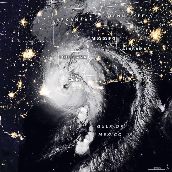
Hurricane Laura began as a tropical depression on August 21st near the U.S. Virgin Islands, and over the next several days rapidly intensified to a dangerous category 4 hurricane at it moved towards the U.S. Gulf Coast. Laura made landfall as category 4 hurricane near Cameron, Louisiana shortly after midnight on August 27, 2020, bringing extreme rainfall, storm surge, and winds up to 150 mph.
The NASA Earth Applied Sciences Disasters Program has activated in support of Hurricane Laura, and is working to determine what NASA resources and capabilities may be available to support response and recovery for this event.
Researchers from the NASA ROSES A.37 research project “Development and Implementation of Remote Sensing Techniques for Oil Spill Monitoring and Storm Damage Assessment” are in contact with partners from the U.S. Coast Guard and the NOAA Office of Response & Restoration (ORR) and are standing by to assist in the event that oil spill or marine debris issues may arise as a result of the storm.


