Date
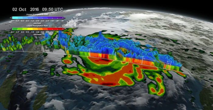
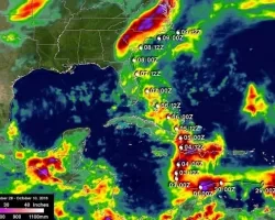
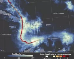
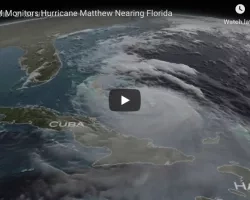
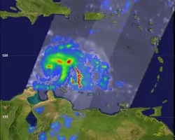
Satellites from NASA and NOAA have been tracking and analyzing powerful Hurricane Matthew since its birth just east of the Leeward Islands on Sept. 28.
Related Impact
Tagged: Disasters

Tagged: Disasters
Tagged: Disasters
Tagged: Disasters
Tagged: Disasters