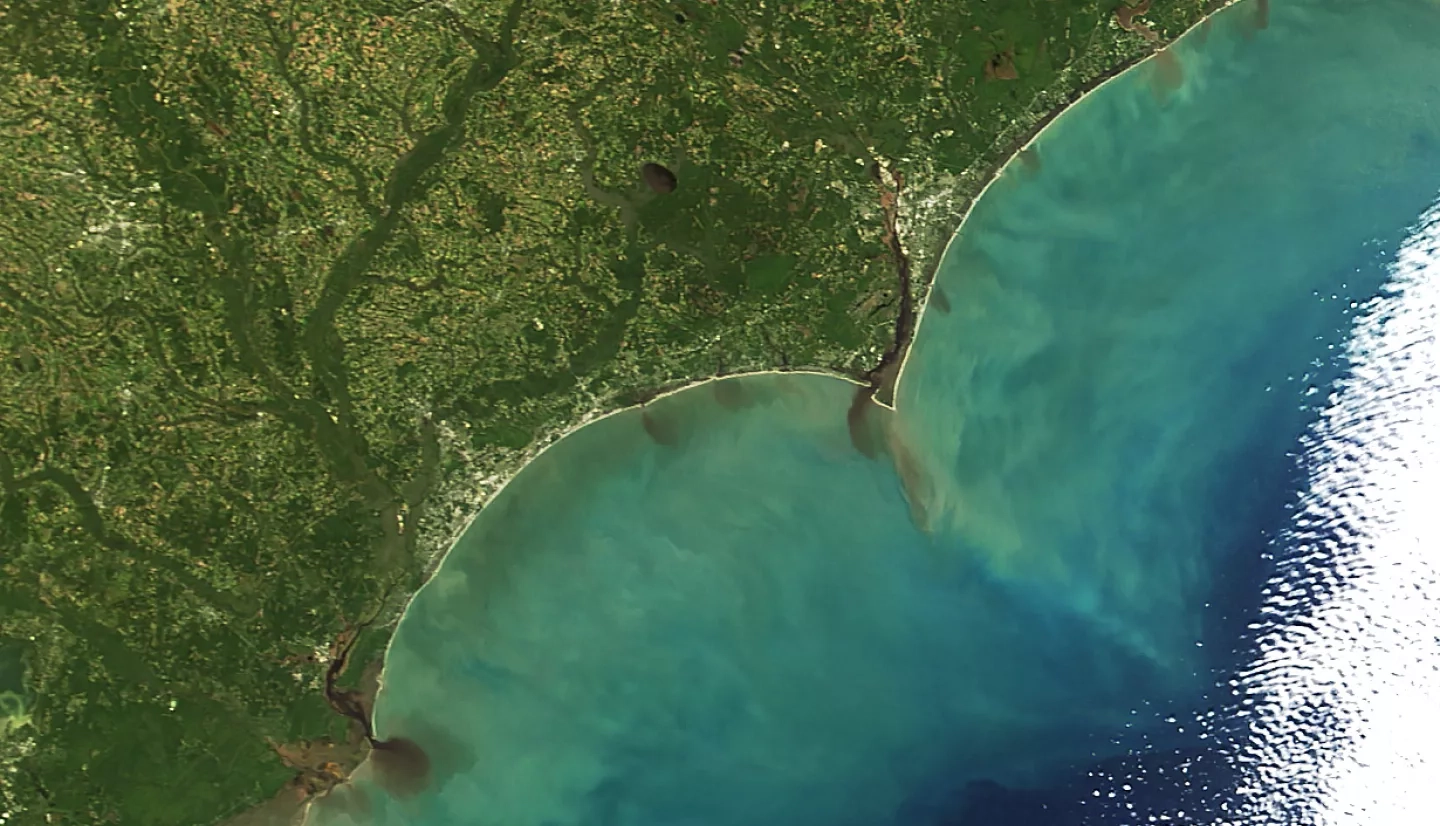
Though its winds had weakened as it moved north, Hurricane Matthew delivered record-breaking rainfall to parts of Georgia, South Carolina, North Carolina, and Virginia. In many coastal areas, the storm dumped well over 12 inches (30 centimeters) of water.
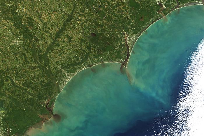
On October 9, 2016, the Moderate Resolution Imaging Spectroradiometer (MODIS) on NASA’s Terra satellite captured this image of floodwaters laden with sediment pouring out from several rivers in North Carolina and South Carolina. Colored dissolved organic matter may have contributed to the dark color of the river water as it spilled into the Atlantic Ocean.
The rain combined with intense storm surges left many communities swamped and reeling. At least 10 people died in North Carolina; several of them were swept away in cars while attempting to drive. Authorities have rescued thousands of other people from homes and cars. More than 1,500 people were stranded in Lumberton, North Carolina, according to news reports.
References
- CNN (2016, October 10) US death toll from Matthew climbs to 20; 1,500 stranded in NC city. Accessed October 10, 2016.
- The News & Observer (2016, October 9) Hurricane Matthew kills 10 in NC, leaves historic flooding in its wake. Accessed October 10, 2016.
- Mashable (2016, October 10) Hurricane Matthew. Accessed October 10, 2016.
- NASA Earth Observatory (2016, October) Matthew. Accessed October 10, 2016.
- National Oceanic and Atmospheric Administration (2016, October 10) Flood Warnings. Accessed October 10, 2016.
- The Washington Post (2016, October 10) Capital Weather Gang: How Hurricane Matthew created such a devastating deluge in the Carolinas. Accessed October 10, 2016.
- U.S. Geological Survey (2016, October 9) Sediment and Suspended Sediment. Accessed October 10, 2016.
- Weather Underground (2016, October 9) Matthew Flings All-Time Surge and Rainfall Records Across Southeast. Accessed October 10, 2016.
NASA image by Jeff Schmaltz and Adam Voiland, LANCE/EOSDIS Rapid Response. Caption by Adam Voiland.


