Date
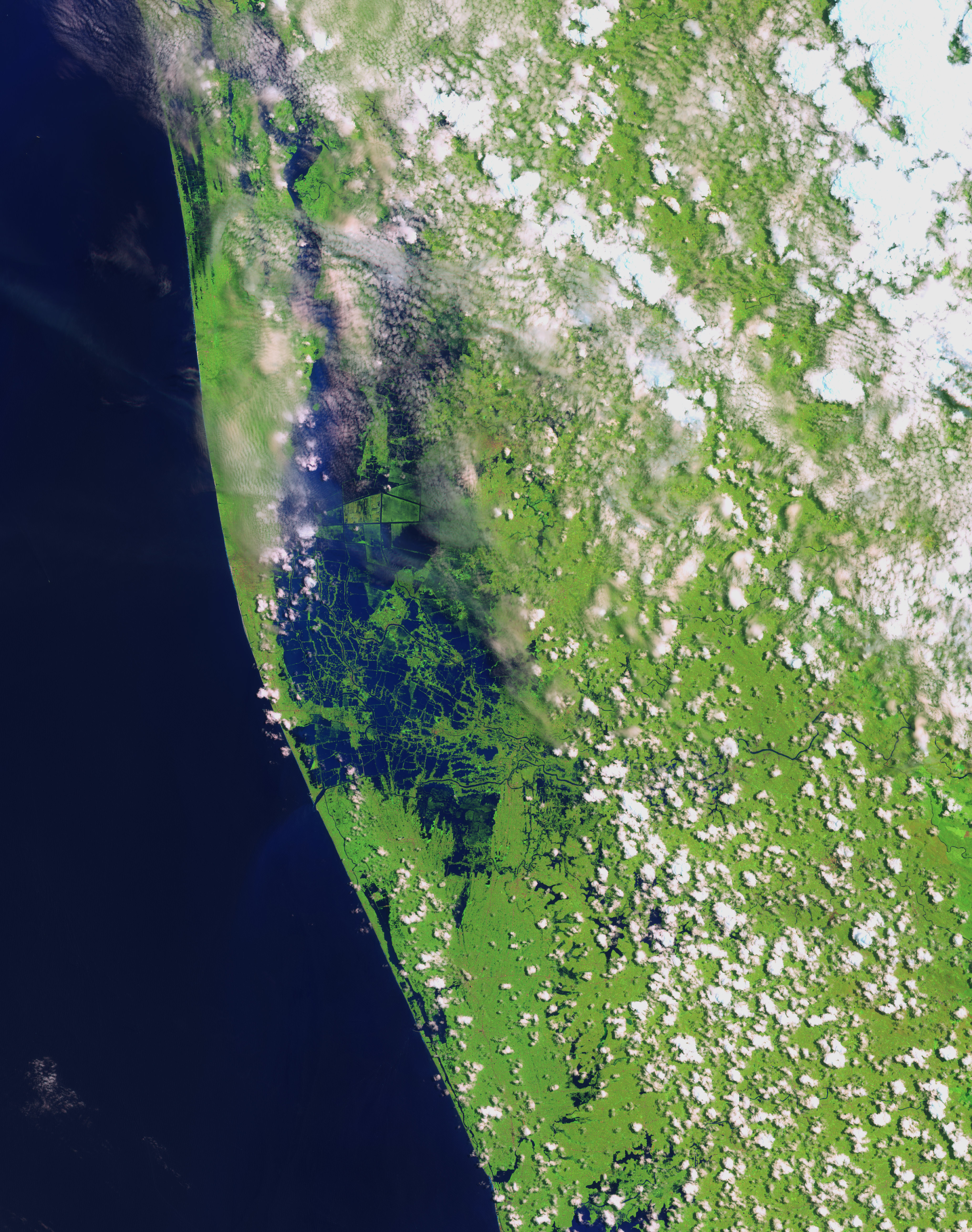
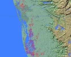
Severe floods, which began in July 2018 have affected the south Indian state of Kerala due to unusually high rainfall during the monsoon season. This has been the worst flooding in Kerala in nearly a century. To date, over 483 people have died, and 14 are missing. A least a million people have been evacuated from the area. According to the Kerala government, one-sixth of the total population of the state has been directly affected by the floods and related impacts. The Indian government has declared it a Level 3 Calamity, or “calamity of a severe nature”. Heavy rains have caused severe landslides and left many people in the hilly districts of the state isolated and cut off from outside assistance.
Related Impact
Tagged: Disasters