Imagen
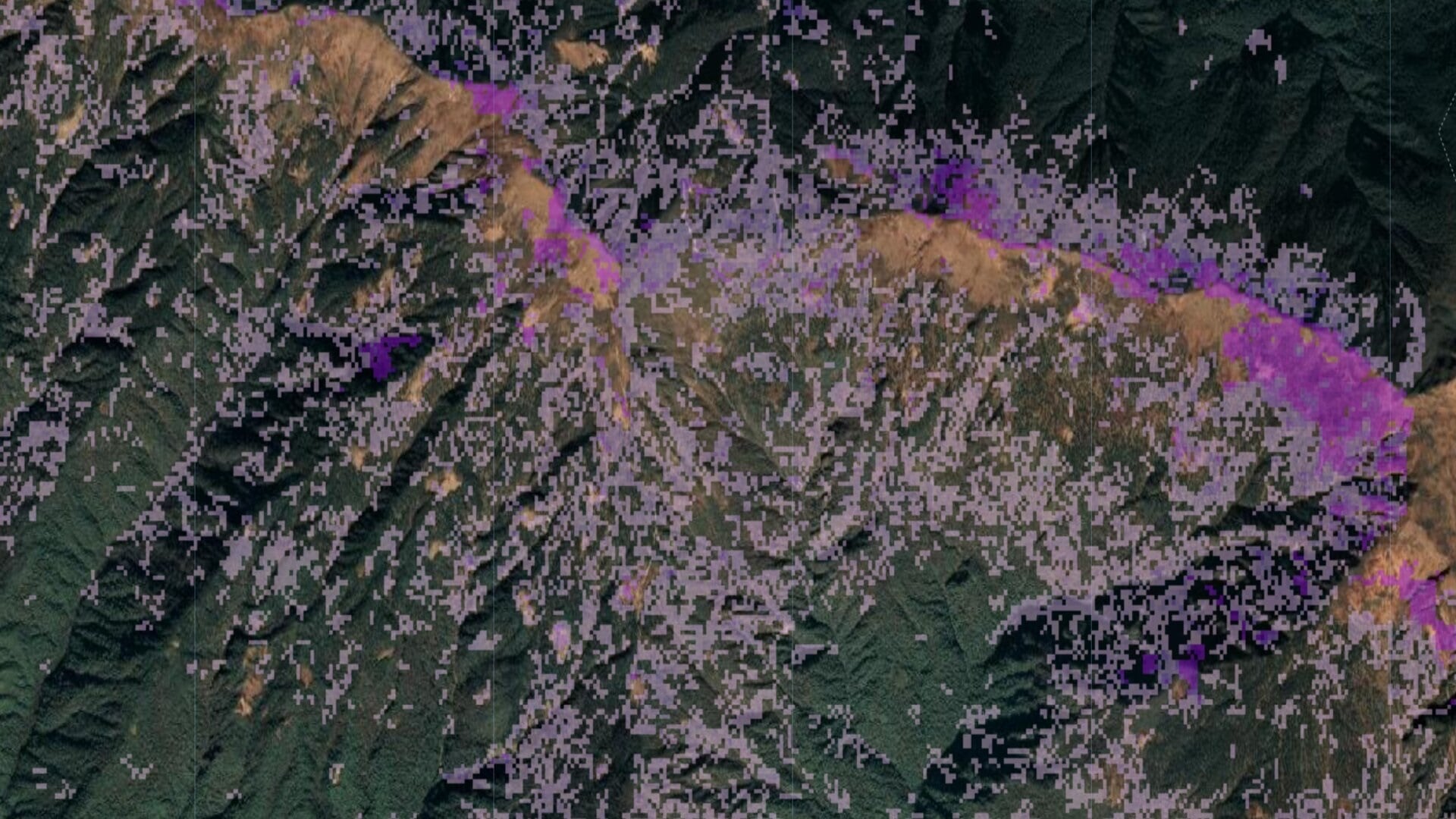
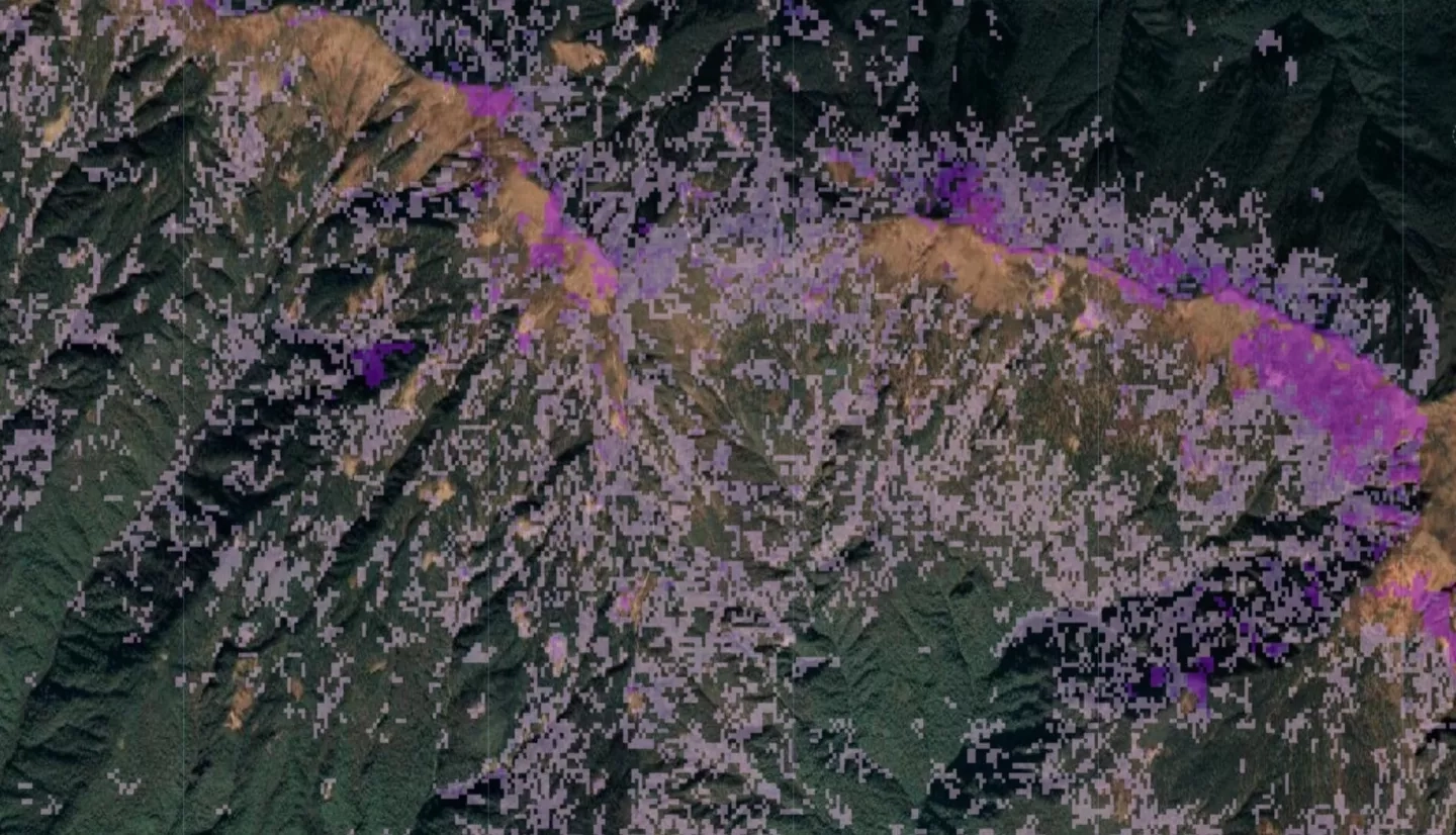
Forest disturbances from bark beetle outbreaks are a major concern in Bhutan, known to cause extensive tree mortality to pine and spruce forests. The NASA DEVELOP team partnered with the Ugyen Wangchuck Institute of Conservation and Environmental Research (UWICER), the Bhutan Foundation, and the Karuna Foundation to assess forest changes for the districts of Bumthang and Haa from 2000 to 2018. The project used preprocessed meteorological data from the Climate Hazards Center Infrared Precipitation with Station (CHIRPS) and Famine Early Warning System Network Land Data Assimilation System (FLDAS), along with Landsat 5 Thematic Mapper (TM), Landsat 7 Enhanced Thematic Mapper plus (ETM+), and Landsat 8 Operational Land Imager (OLI) to assess apparent forest disturbance occurrences and observed climate trends. Shuttle Radar Topography Mission (SRTM) was used to resolve variations in elevation and slope for mountainous regions. Using the Google Earth Engine LandTrendr (LT) code algorithm, along with Landsat data, the team developed an app called Forest Disturbances Detection Toolbox (FDDT) to assess forest changes in Bhutan. The app includes climate variables for the focus districts, along with LT variables, which allows the end users to further examine the cause of disturbances. The team compared geocoordinates for known disturbances with LT disturbance detection products. Although additional work is needed in the future to validate the project end products from the FDDT, the tool will be provided to the project partners to aid forest management efforts in Bhutan.