Shoshone River Water Resources (Fall 2022)
Team: Robyn Holmes (Project Lead), Will Campbell, Cassie Ferrante, Nelson Lemnyuy
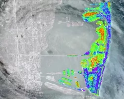
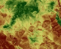
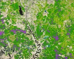
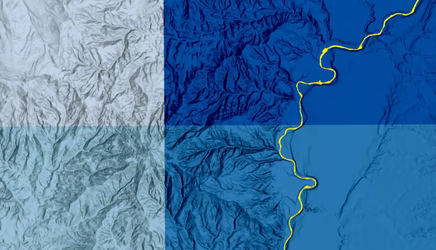
Summary: In 2016, a routine repair operation at the Willwood Dam released tons of built-up sediment into the Shoshone River, polluting the river and negatively impacting the ecosystem. This release greatly affected the communities that rely on the river for farming, recreation, and tourism. In partnership with the Wyoming Department of Environmental Quality (WYDEQ), Shoshone River Partners, and the United States Geological Survey (USGS) Wyoming–Montana Water Science Center, this project utilized satellite imagery and precipitation data to examine turbidity patterns in the Shoshone River between the Buffalo Bill Dam and the Willwood Dam. We used PlanetScope satellite images to assess changes in surface reflectance of the river in response to precipitation events and Global Precipitation Measurement (GPM) Integrated Multi-Spectral Retrieval (IMERG) precipitation data to estimate the lag time between rainfall events and increased turbidity. The National Land Cover Dataset (2019) was used to identify the main land cover types within each sub-basin. The end products included a turbidity analysis, land cover analysis, and precipitation analysis that provided the partners with a better understanding of sediment dynamics in the river. The results demonstrated the feasibility of using PlanetScope data to examine turbidity spatially along small rivers. Sediment plumes from tributaries were visually identified for multiple high turbidity events, and we calibrated an equation that translated reflectance to turbidity, accurately representing plume extent. Inconsistent spectral quality of PlanetScope data, however, limited our ability to assess the relative sediment contribution of the tributaries.
Related Impact