Potomac River Basin Water Resources (Summer 2023)
Team: Zach Kinloch, Divina Lade, Xavier García López, Haydee Portillo
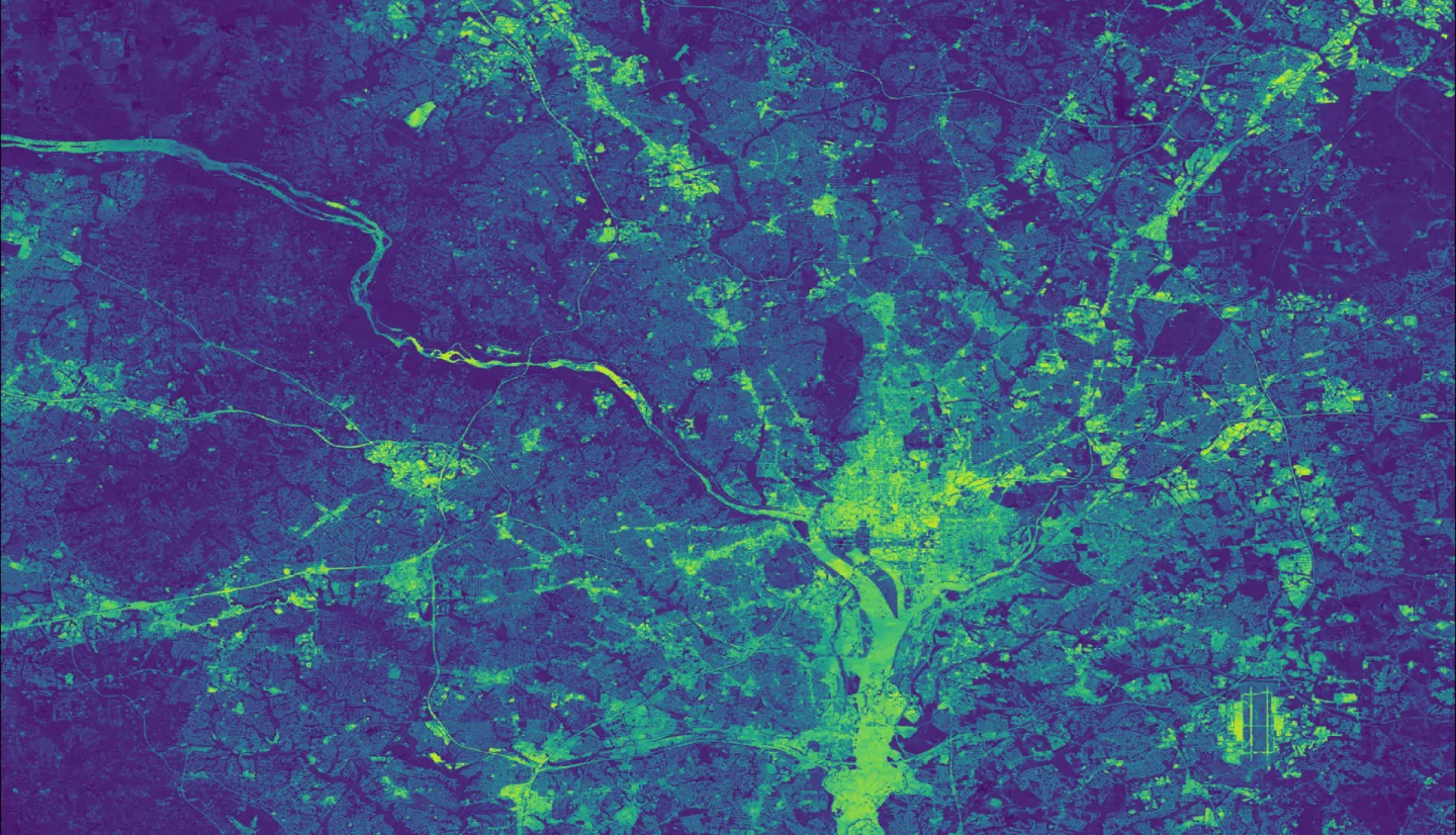
Summary: The Potomac River Basin (PRB) is responsible for providing drinking water to over 5 million residents and plays a significant role in the health of the Chesapeake Bay. Therefore, it is important to understand the relationship between water quality, landcover and the hydrological cycle within the PRB. The National Park Service (NPS) has monitored 37 streams within the National Park Units in Maryland, Virginia, West Virginia and Washington, D.C. This project aimed to help NPS better understand trends in water quality and supplement their ability to monitor changes in the National Capital Region Network (NCRN). Google Earth Engine, ArcGIS Pro, R, and Python were used for data retrieval, visualization and analysis. Earth observations included Landsat 5 TM and Landsat 8 OLI/TIRS imagery. Ancillary data included the USDA Cropland Data Layer, Climate Hazards Group InfraRed Precipitation with Station Data (CHIRPS), and soil moisture data from the Famine Early Warning Systems Network (FEWS NET) Land Data Assimilation System (FLDAS). Land use/land cover (LULC), Normalized Difference Vegetation Index (NDVI), precipitation and soil moisture data were all analyzed against water quality data provided by NPS at a watershed level. Land use change maps were also generated for the PRB between 2008 and 2022. The project found significant correlations between precipitation, soil moisture, NDVI, and water quality. Correlations were found between certain land use types and water quality metrics, but findings varied greatly between watersheds. These insights emphasize the imperative of strategic watershed management in preserving the integrity of key aquatic systems.