Image

NASA
NASA
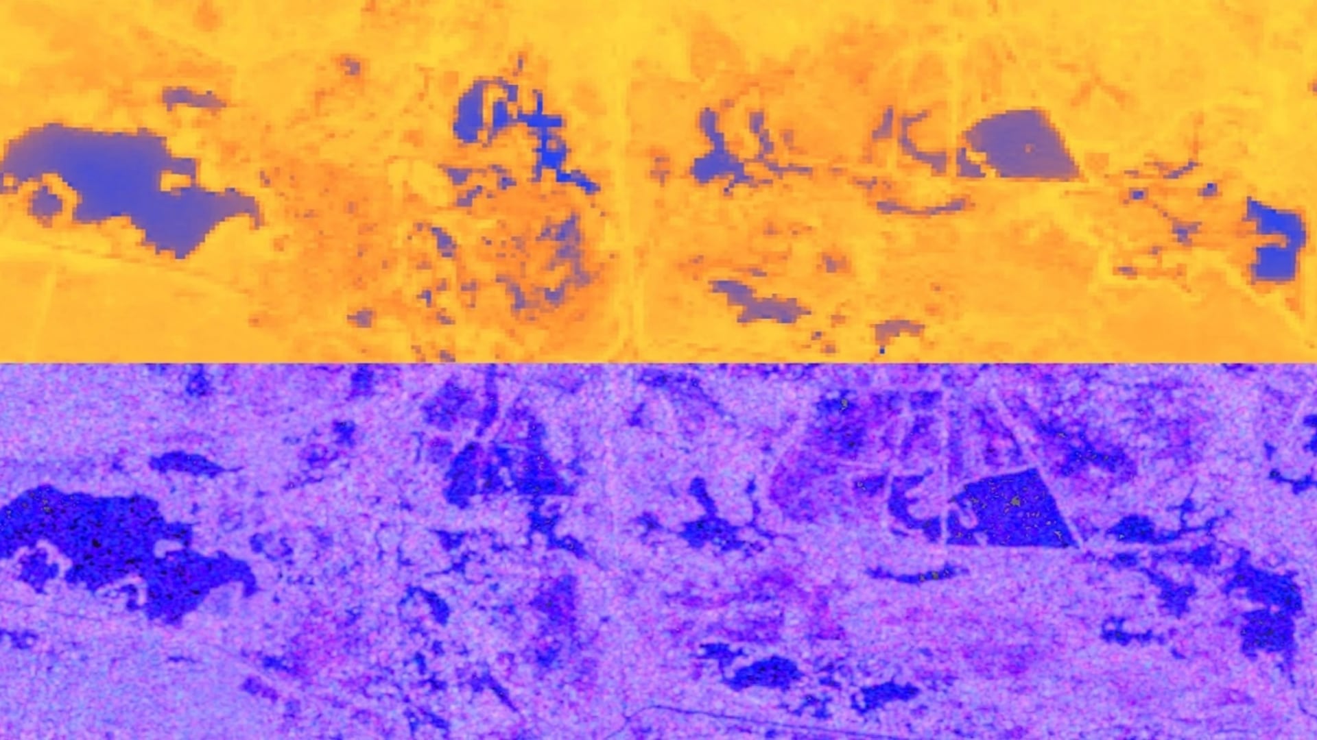
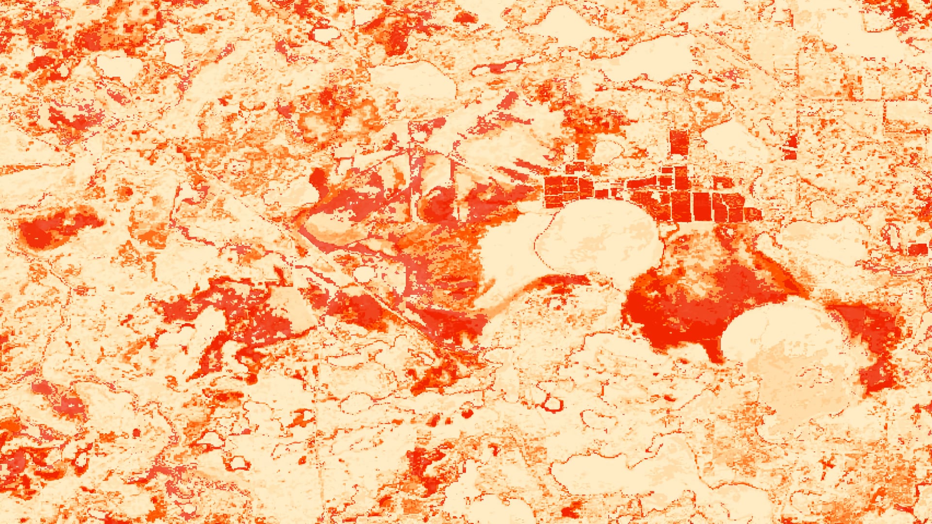
Tasseled cap greenness transformation derived from Landsat 8 imagery over lodgepole pine forest in the Intermountain West study area
Completed Projects
Caroline Jahn
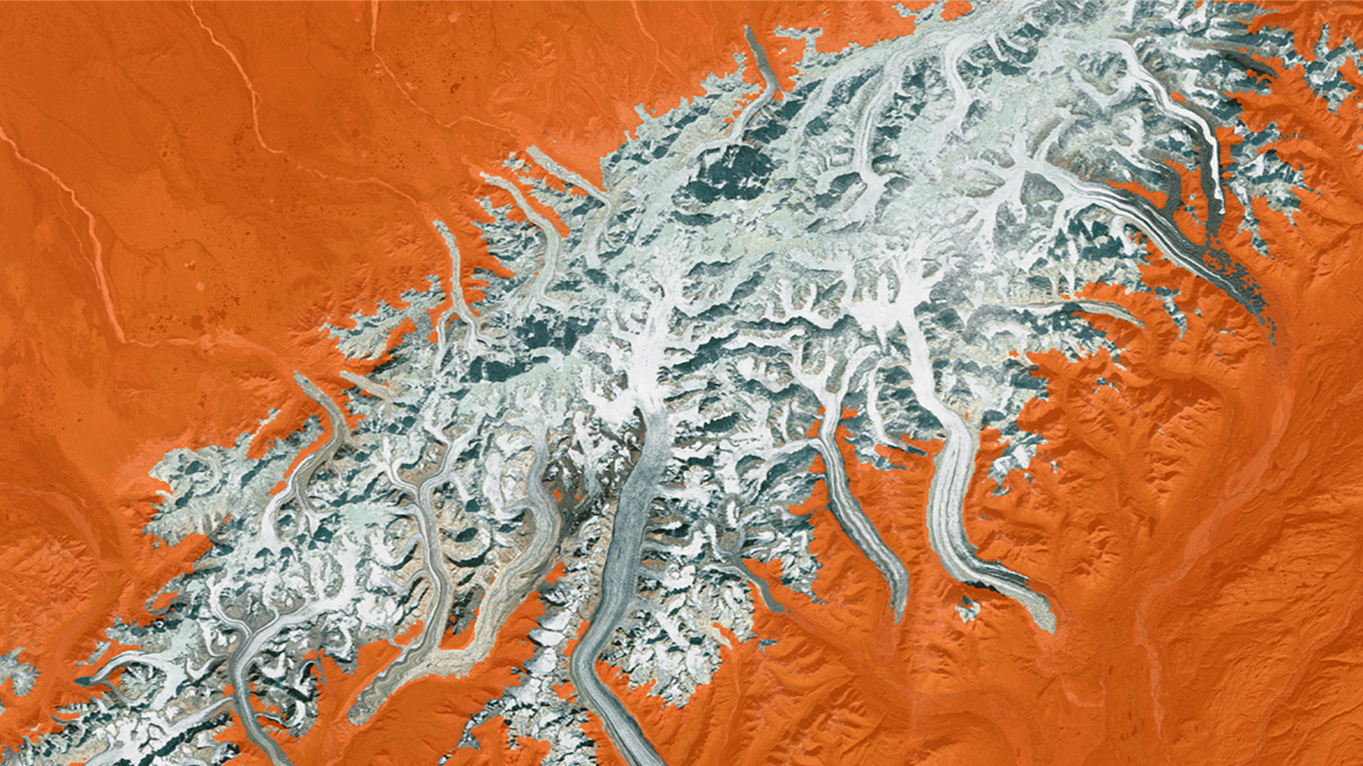
Alaska is warming twice as fast as the rest of the nation due to changes in the climate, causing shorter winters, thawing permafrost, and rapidly receding glaciers. All of these weather changes are lengthening wildfire seasons and increasing the number of wildfires experienced by the...
Haley Ritger
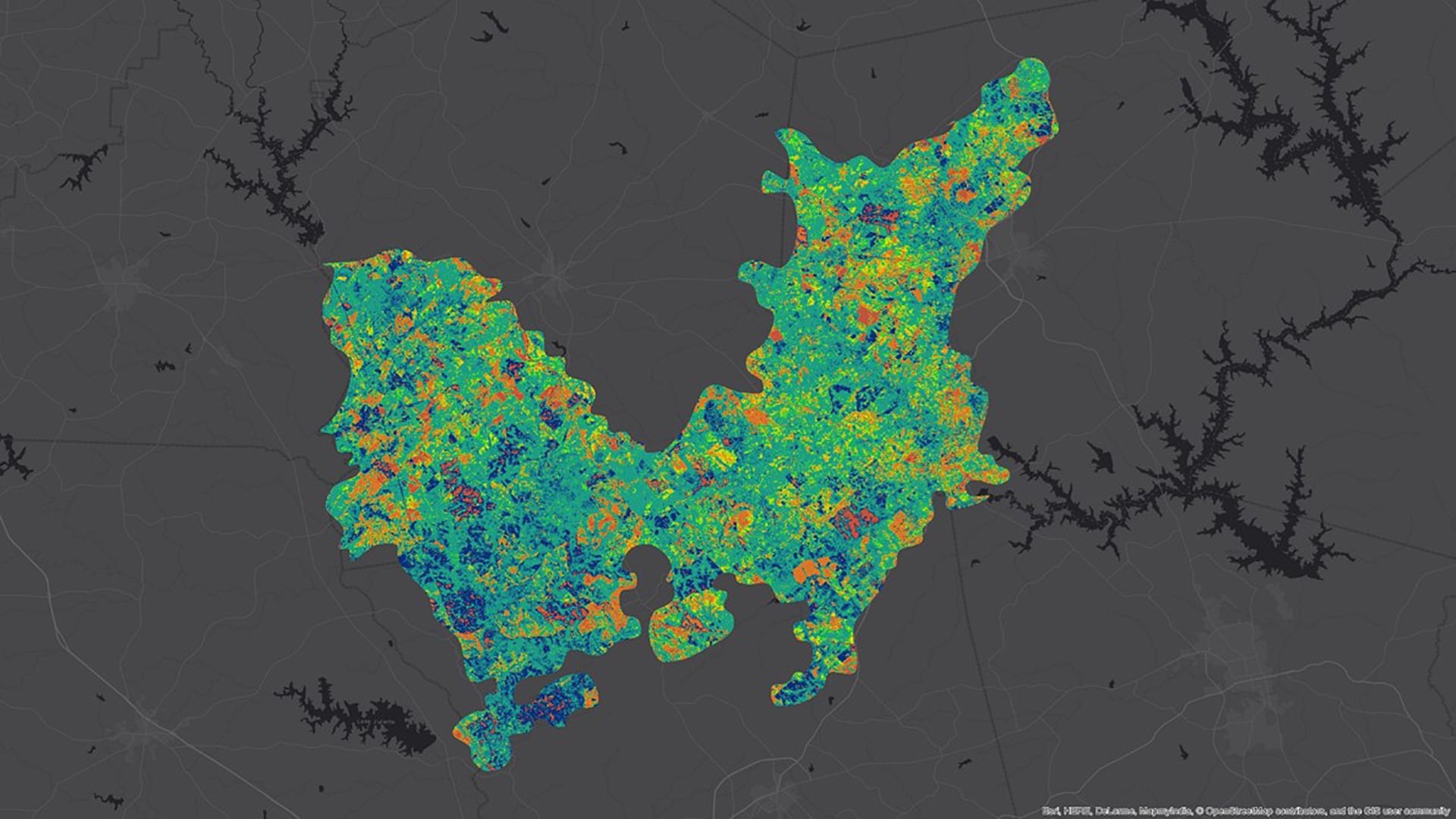
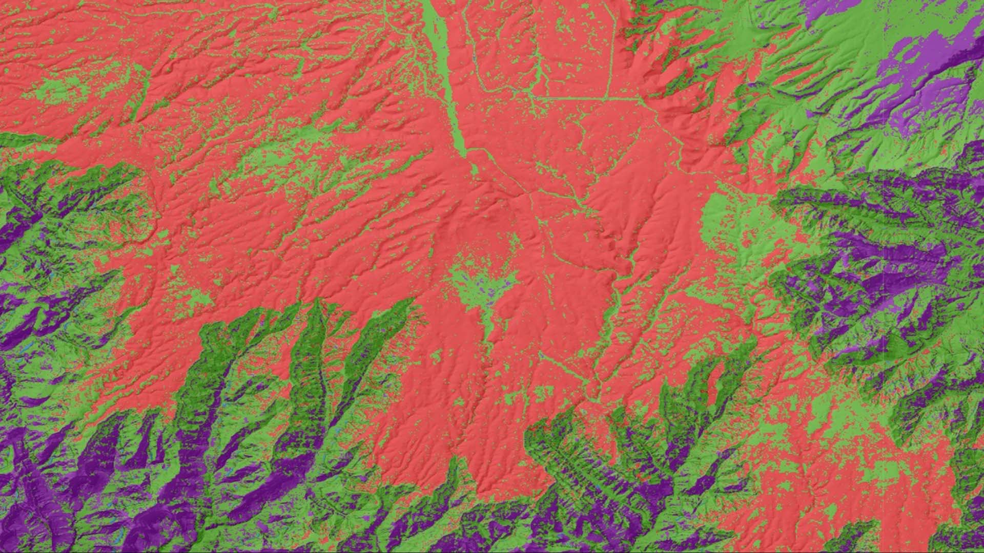
Since 2015, bark beetle infestations have increased in the southeastern United States, increasing the potential for devastating wildfires. Bark beetles infestations begin in small spots, usually by attacking a weakened or stressed focal tree. Beetles then use aggregation pheromones to increase the breeding population in...
Anastasia Kunz
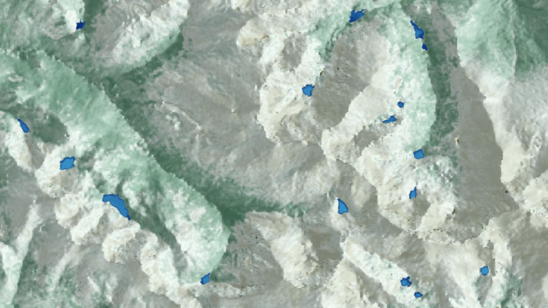
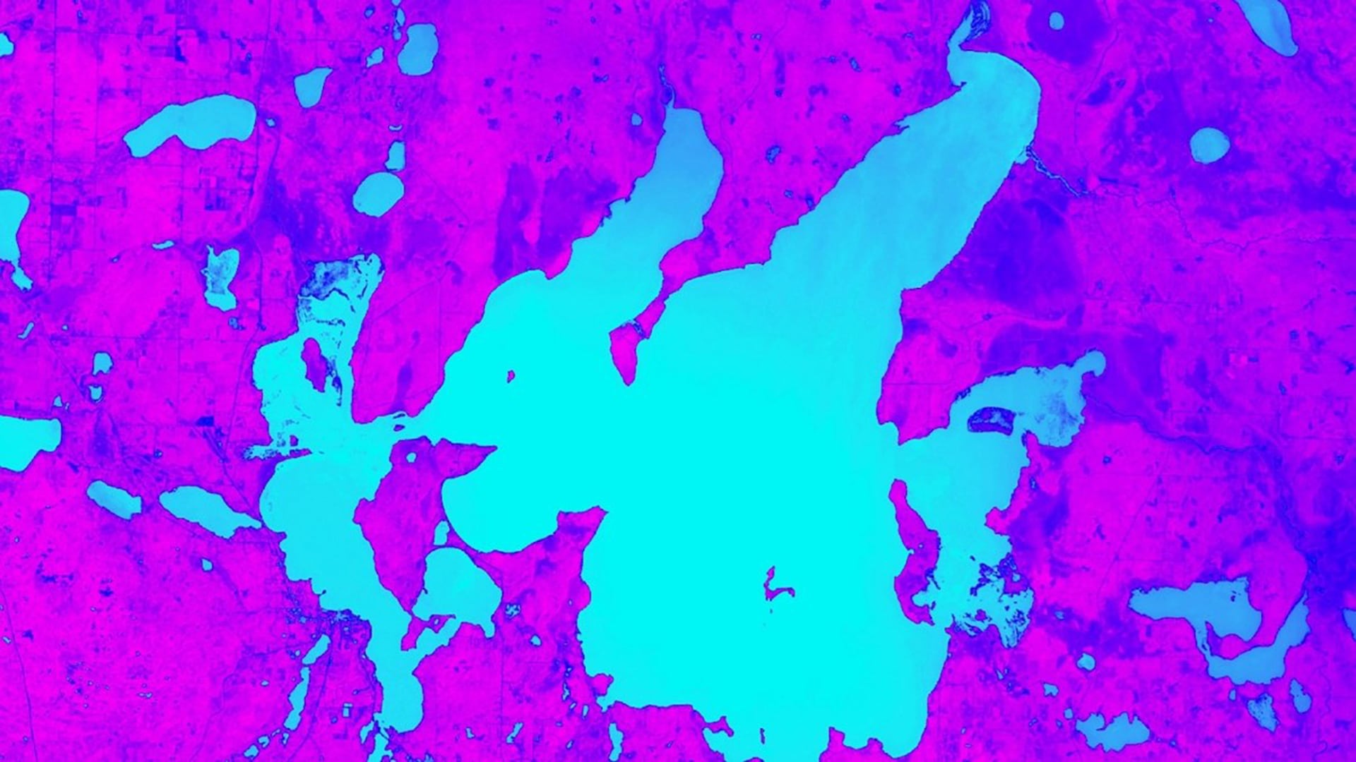
Alpine lakes in Rocky Mountain National Park (RMNP) serve as an important habitat and water source for wildlife and contribute to the overall aesthetic value of the park. However, since the 1960s, alpine lakes within RMNP have experienced intensified algal productivity as a...
Tyler Hennessee
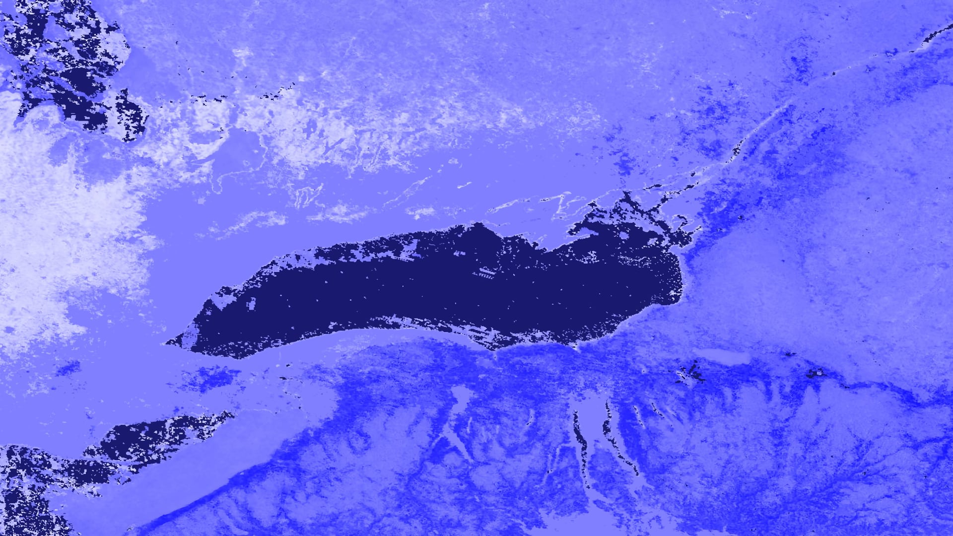
From late January through the beginning of May 2017, an extraordinary amount of precipitation fell in the Lake Ontario watershed. By late April, large swaths of the Greater Toronto Area (GTA), including numerous lakefront properties, beaches, and public recreation facilities...
Nicole Pepper
Vanesa Martín
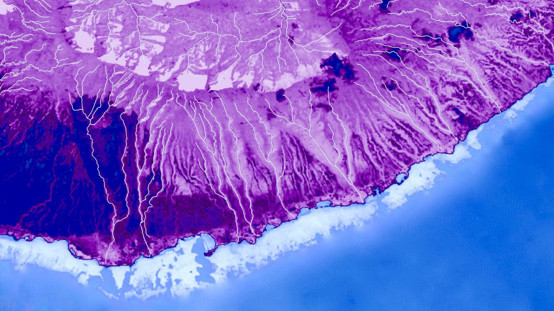
Central America is one of the world’s most vulnerable regions to natural disasters, including landslides and precipitation-driven flooding. In an effort to support disaster management and emergency response planning, this project developed a methodology that employed NASA Earth observations to...
Nicole Pepper
threat of invasive species has impacted fragile forests across the globe; such impacts can be particularly damaging on island ecosystems where a loss in vegetation can lead to increased runoff. In 2017, a fungal pathogen outbreak of Puccinia psidii impacted...
Jillian LaRoe
The United States Geological Survey (USGS) and National Park Service (NPS) are concerned by the increasing Kaibab Plateau bison population on the North Rim of Grand Canyon National Park (GRCA). Currently, within the park's boundaries, the bison have no predators and hunting is prohibited, resulting...
Kaitlin Walker
Northern wild rice (Zizania palustris L.) and Texas wild rice (Zizania texana) provide valuable ecosystem services, food sources, economic development, and cultural resources to local populations in Minnesota and Texas. Research on crop wild relatives, wild plants closely related to cultivated plants, is imperative to...
Eli Simonson
Crop wild relatives (CWR) are genetically related to cultivated crops and function as repositories for genetic diversity. These plants have the potential to improve the yield, nutritional value, and resilience of crops, thereby buffering against widespread crop failure and supporting rural economic productivity. As such...