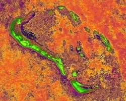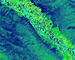
The disruption of natural fire regimes caused by fire suppression policies, coupled with drought and changing climate conditions, allow fuel loads to grow in the absence of naturally occurring, low intensity surface fires. Within the mixed conifer forests of the Cascades, catastrophic wildfires challenge forest resilience in Lassen Volcanic National Park and Lassen National Forest. Land managers within these forested areas can benefit from integrating landscape-scale fuel load density and ecosystem recovery assessments derived from high-resolution, remotely sensed data into their wildfire mitigation and management projects. To provide a landscape-scale assessment, we calculated density estimates of stems per acre and canopy understory fuel loads for the Badger Planning Area with LiDAR, studied ecosystem recovery from the 2012 Reading Fire by calculating pre- and post-fire land cover using high spatial resolution imagery from the USDA National Agriculture Imagery Program (NAIP), and provided land managers an integrated web tool for spatiotemporal analysis of historical tree mortality and regional fire history using multispectral data from the Landsat series accessed in Google Earth Engine API. Examining fuels with this methodology for historic mortality trends, present conditions, and future planning, will improve wildfire management strategies across administrative boundaries in the Lassen area.


