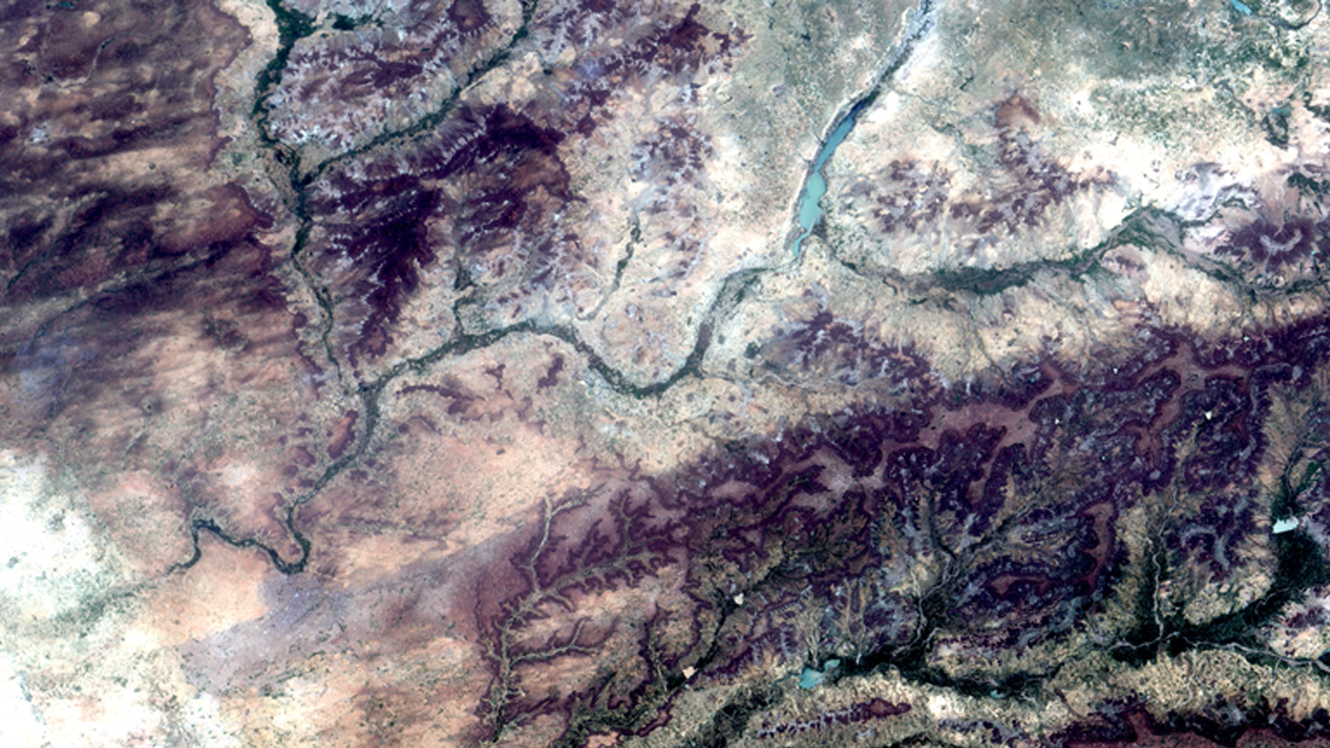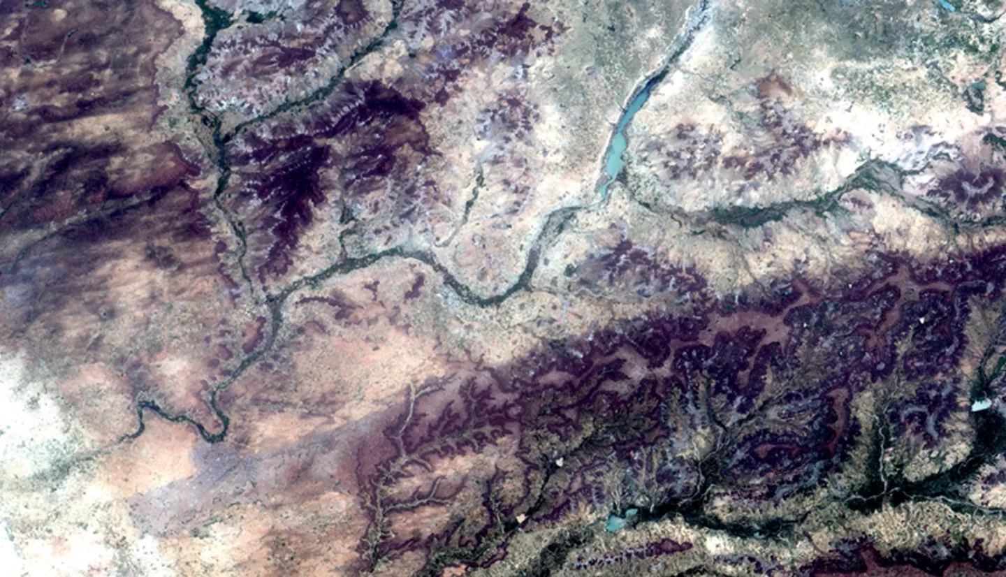
Global water resources are important for societies, economies, and the environment. In Niger, limited water resources restrict the expansion of communities and agriculture. Mercy Corps currently works in over 40 countries around the world to address a variety of stresses which include water resources and building long-term food resilience. As Mercy Corps seeks to integrate the use of Earth observations into their resilience building process, NASA established a partnership to help facilitate this effort incorporating the Tropical Rainfall Measuring Mission (TRMM), Global Precipitation Measurement (GPM), and Climate Hazards Group InfraRed Precipitation with Station data (CHIRPS) to create a standardized precipitation index that highlights low and high rainfall from 1981 to 2016. The team created a Google Earth Engine tool that combines precipitation data with other metrics of stress in Niger. The system was designed to be able to incorporate groundwater storage data as they become available. This tool allows for near real-time updates of trends in precipitation and improves Mercy Corps' ability to spatially evaluate changes in resiliency by monitoring shocks and stressors.


