Southern Wyoming Ecological Conservation II (Summer 2023)
Team: Bryan Graybill (Project Lead), Lillian Gordon, Estelle Lindrooth, Sarah Sathe
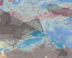
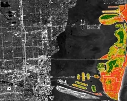
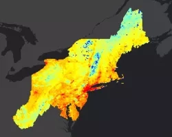
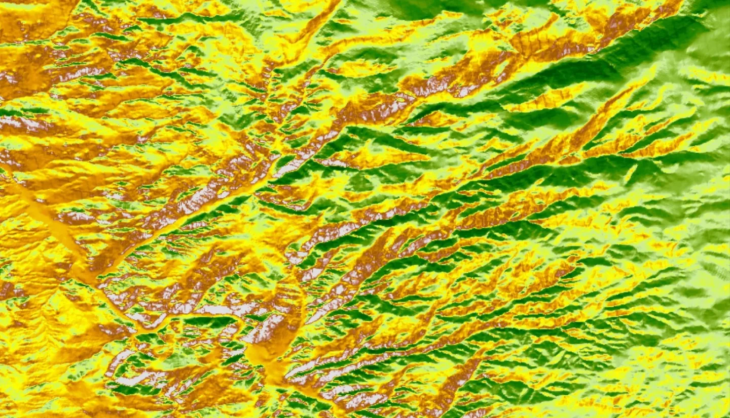
Summary: Cheatgrass (Bromus tectorum) is an invasive species of grass across the United States, and due to its ability to establish itself in disturbed landscapes, outcompete native species, and generate novel fire regimes that benefit its reproduction, cheatgrass can quickly dominant the landscape, threatening an ecosystems’ integrity. Our partner, the United States Geological Services Fort Collins Science Center, is tasked with detecting and controlling invasive species through novel research methods that use remote sensing to detect cheatgrass presence across varied landscapes more accurately. Disturbed landscapes like the 2020 Mullen Fire burn scar (176,878 acres) in Wyoming, present both major concern due to vulnerability to invasive species and an opportunity to study the presence and spread of cheatgrass post-fire. We developed a detection method using a date-based approach to match satellite images captured on or near dates corresponding to the unique phenology of cheatgrass green-up and senescence phases. Phenology datasets provided by our partners were analyzed for the most common date pairs for the 2021 and 2022 growing season. We utilized the Normalized Difference Vegetation Index derived from Landsat 8 Operational Land Imager, Sentinel-2 MultiSpectral Instrument, and the Harmonized Landsat and Sentinel-2 surface reflectance dataset. NDVI differencing between greenness and senescence, produced both Scene-by-Scene and Pixel-by-Pixel maps predicting cheatgrass presence. Using the Pixel-by-Pixel approach, we found a negative correlation between cheatgrass cover and an increase in NDVI between predicted peak greenness and senescence dates. Our method considers the site conditions' impact on phenological timing giving it greater applicability over more diverse landscapes.
Related Impact