Boulder County Disasters (Spring 2022)
Team: Sarah Hettema (Project Lead), Jennifer Rogers, Ibuki Sugiura, Erin Twaddell
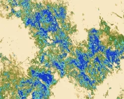
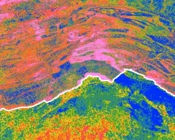
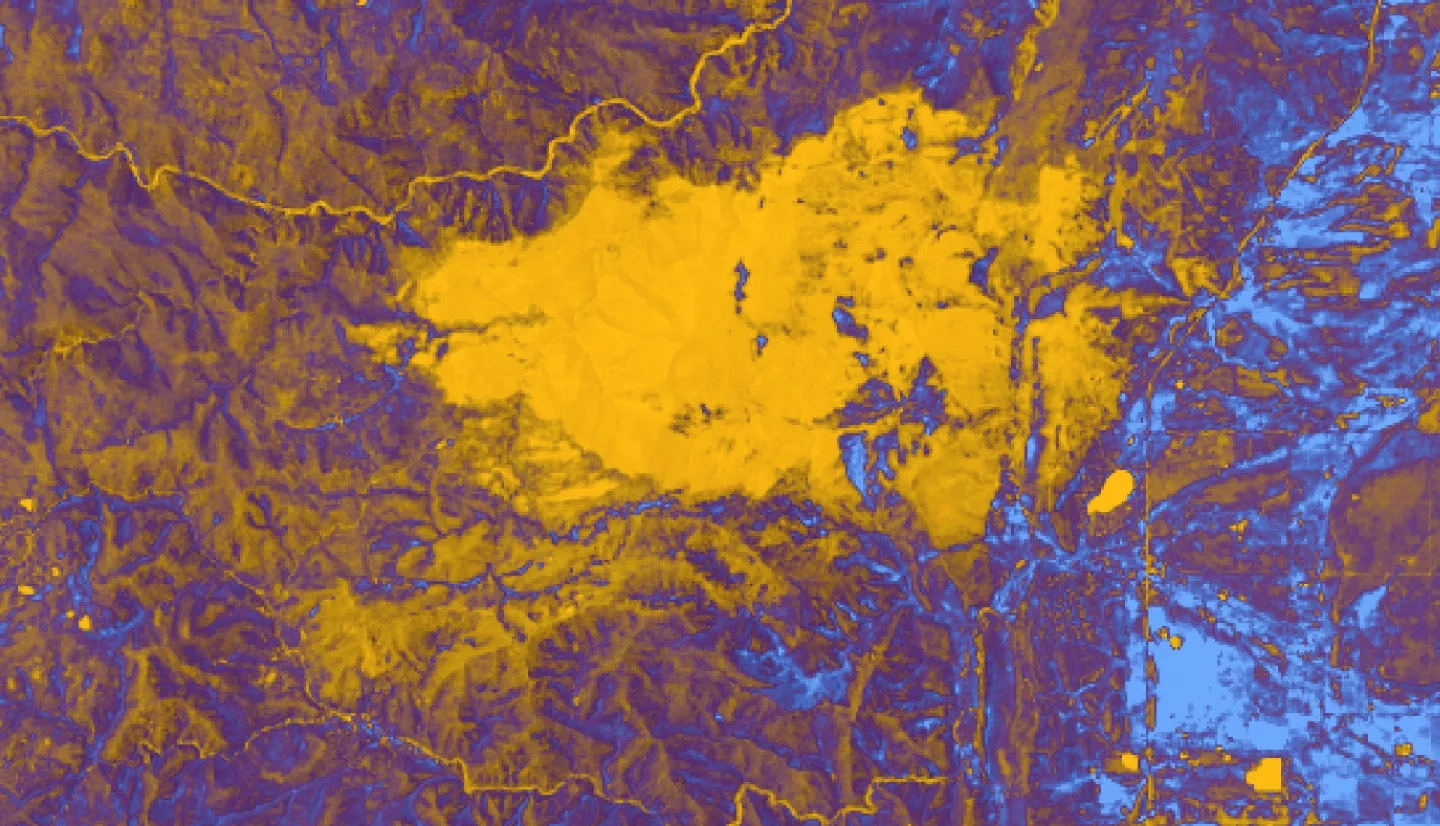
Summary: In recent years, record-breaking wildfire activities in the western US illustrate the need for fire mitigation efforts, such as forest fuels reduction treatments. Forests serve as crucial carbon sinks that combat the increasing effects of climate change while fuels treatment may remove carbon from forested systems. As a result, forest managers need to find a balance between fire mitigation and carbon preservation. This project partnered with Boulder County Parks and Open Space (BCPOS) and the University of Colorado, Denver, to investigate the 2020 Cal-Wood fire in Boulder County, Colorado. Using remote sensing data from Landsat 8 Operational Land Imager (OLI), Shuttle Radar Topography Mission (SRTM), Sentinel-2 Multispectral Instrument (MSI), and Light Detection and Ranging (LiDAR), we mapped post-fire forest carbon pools and compared these pools between treated and untreated areas. Results indicate post-fire aboveground live carbon (R2 = 0.76), aboveground dead carbon (R2 = 0.44), standing carbon (R2 = 0.44), and total carbon (R2 = 0.35) pools can be estimated based on remotely sensed and field-derived data. The analysis suggests fuels reduction treatments did not reduce carbon loss in the presence of wildfire enough to clearly distinguish the post-fire carbon in the treated and untreated areas. However, the final carbon maps still provide BCPOS and researchers with an opportunity to explore carbon estimation models based on remotely sensed data as well as a framework to evaluate fuels reduction treatment effectiveness and impact on forest carbon stocks for future wildfire events.
Related Impact