Imagen
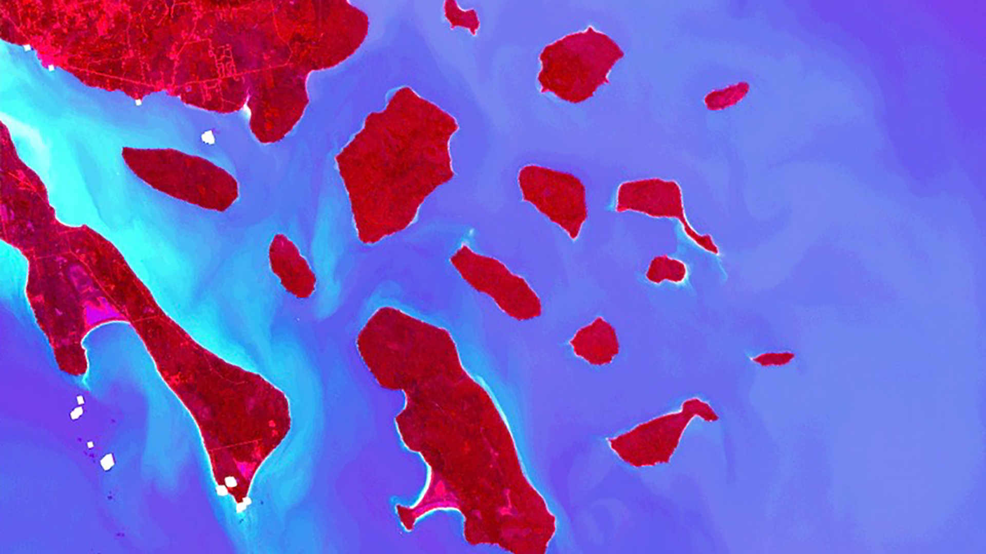
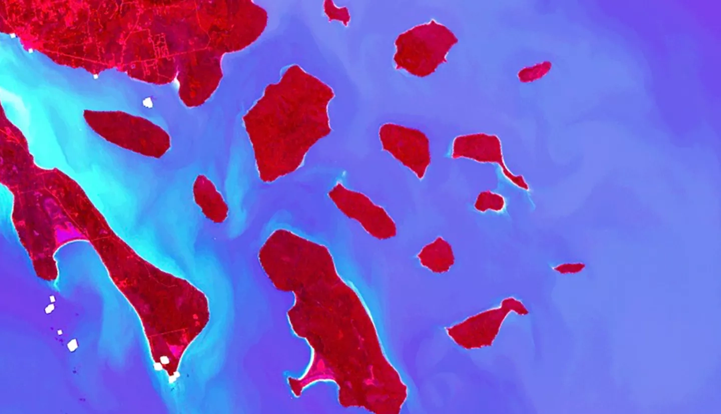
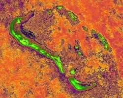
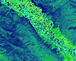
Perceived increases in the occurrence of sediment plumes and algal blooms following storm events have raised concerns about water quality within western Lake Superior. Increases in algal productivity and suspended sediment concentration may have negative impacts on wildlife, human health, and recreation, making these patterns of critical concern for the Water Resources Division of the National Park Service (NPS). Researchers at the NPS and the University of Minnesota Duluth, Large Lakes Observatory (UMD LLO) first identified algal blooms in western Lake Superior in 2012. They currently only incorporate Moderate Resolution Imaging Spectroradiometer (MODIS) Earth observations in a limited capacity, but to this point have not been utilizing MODIS in conjunction with in situ data. In order to assist in the monitoring of these phenomena in western Lake Superior, the Apostle Islands Water Resources team partnered with the NPS and UMD LLO to develop a methodology utilizing Aqua MODIS, Terra MODIS, and Sentinel-3 Ocean and Land Colour Instrument (OLCI) observations to better understand the dynamics of storm events, sediment plumes, and algal blooms within western Lake Superior during summer months (June to September) from 2011 to 2019. The use of Earth observations will aid project partners in implementing effective mitigation strategies and improving public communication surrounding issues of water quality within the Apostle Islands National Lakeshore.