Yampa Water Resources (Summer 2022)
Team: Samrin Sauda (Project Lead), Ethan Gates, Erin Weitzel, Morgan Guttman
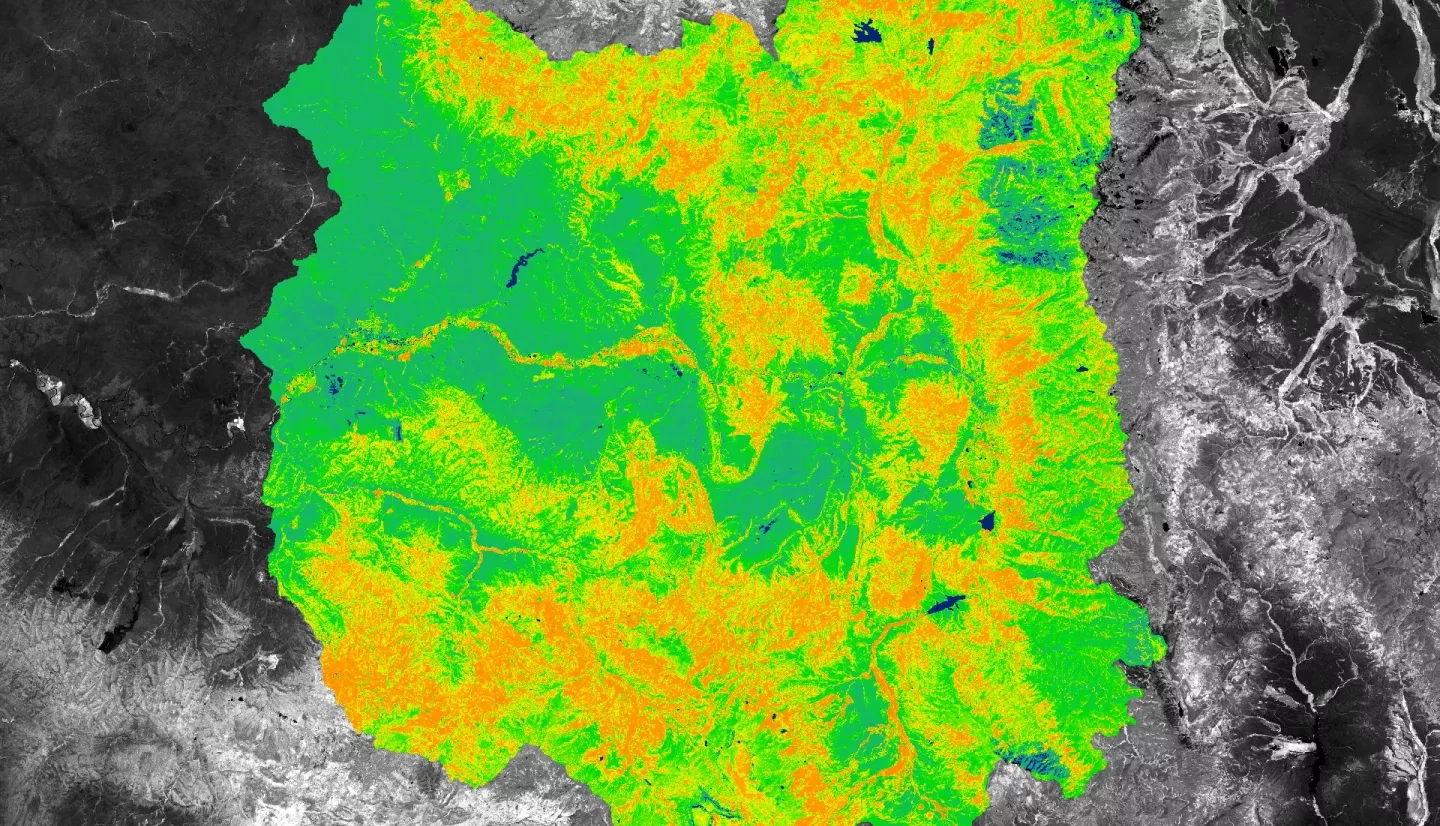
Summary: The Upper Yampa River Watershed (UYRW), located in northwestern Colorado, plays a key role in providing water to the Colorado River. However, the UYRW has been impacted by increasingly frequent and widespread harmful algal blooms (HABs) that emit cyanotoxins and deteriorate the water quality. Due to these cyanotoxins, recreational closures have been enacted and drinking water has been impaired, leading to adverse health, economic, and ecological effects. Partnering with the Upper Yampa Water Conservancy District (UYWCD) and the Colorado State University (CSU) Agricultural Water Quality Program, the DEVELOP team utilized Earth observations from Landsat 5 Thematic Mapper (TM), Landsat 7 Enhanced Thematic Mapper Plus (ETM+), and Landsat 8 Operational Land Imager (OLI) to analyze trends in water quality from 1984 to 2021 for nine waterbodies of interest: Lake Catamount, Lake Dumont, Elkhead Reservoir, Fish Creek Reservoir, Sheriff Reservoir, Stagecoach Reservoir, Steamboat Lake, Stillwater Reservoir, and Yamcolo Reservoir. The team generated time series plots and maps exhibiting parameters such as greenness, temperature, Apparent Visible Wavelength (AVW), and Broad Wavelength Algae Index (BWAI). Finally, evaluation plots were created to analyze the correlation between spectral indices and in-situ measurements. Surface temperature has risen on Lake Catamount, Stagecoach Reservoir, and Steamboat Lake. All other water quality parameters varied in trend and significance across all nine waterbodies. The limited amount of in-situ validation data made it difficult to determine the viability of satellite remote sensing as a tool for monitoring water quality in the UYRW.


