Sustaining a Hungry World with Data
Food shortages that leave communities languishing. Unpredictable weather that leads the cost of staples to skyrocket. Farmers that rely on a thriving market to provide for their families.
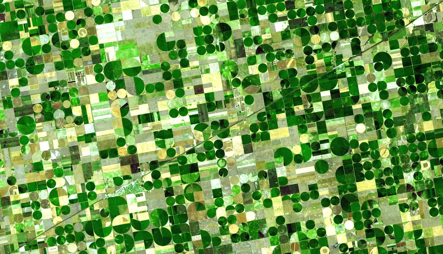
The Agriculture Program Area promotes the use of Earth observations to strengthen food security, support market stability and protect human livelihoods. Together with partners in the United States and around the world, we help bolster food security, improve agricultural resilience and reduce price volatility for vulnerable communities.
Our Focus
NASA Acres
NASA Acres consortium is NASA's U.S.-focused agriculture program element established in March 2023. It was commissioned by NASA and is led by the University of Maryland. NASA Acres focuses on applying Earth observation information to the most pressing agricultural and food security challenges facing U.S. farmers, ranchers, and agrifood systems. NASA Acres works with stakeholders across the agricultural spectrum to develop Earth observatory-based data and tools that help increase production, while protecting and restoring land, water, atmosphere, and human health.
NASA Harvest
NASA Harvest consortium is NASA's food and agriculture program It is made up of over 40 partners and was commissioned by NASA and is led by the University of Maryland. NASA Harvest connects top researchers, humanitarian aid organizations, economists, policymakers and other leaders. It gets them the timely, accurate and actionable information they need to prepare for and respond to spikes in food prices, weather-related food shortages and other events.
Visit the NASA Harvest Website
“The consortium approach gives a lot of flexibility and agility to be responsive to current needs and especially opportunities that arise to put Earth science into action.” - Lawrence Friedl, Director of NASA’s Earth Applied Sciences Program.
Featured Product
OpenET
OpenET is an website tool that provides data for U.S. water management on 17 western states, most notably the area covered by the Colorado River basin. The "ET" in OpenET stands for evapotranspiration, which is the process through which water leaves plants, soils, and other surfaces and returns to the atmosphere. It's a measurement that farmers can use to estimate the amount of water being taken up or used by their fields and crops and that will usually need to be replaced through irrigation or rainfall.
More about OpenET: OpenET: A Transformative Tool for Tracking Water in the U.S. West