Displaying 3461 - 3470 of 3646
Topic
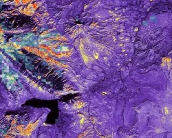
Shoshone River Water Resources II (2023 Spring) Team: Robyn Holmes (Project Lead), Christian Bitzas, Jillian Greene, Isabella St. John Summary: The Willwood Dam, an irrigation...

Guiding Decision-Makers with Earth Data
Data is at the heart of everything we do in NASA Applied Sciences.
Training Type
Level
Advanced
Date
Julio 18, 2023 - Julio 25, 2023

Affiliation
NASA Headquarters
Program Role
Disasters Program Coordinator
Laura Giannini serves as Disasters Program Coordinator for NASA’s Earth Applied Sciences Disa

Affiliation
Morgan State University
Program Role
ARSET Trainer
Carl Malings is an Assistant Research Scientist at Morgan State University.

Affiliation
Jet Propulsion Laboratory - NASA
Program Role
ARSET Instructor
Dr. Erika Podest is an instructor with NASA’s Applied Remote Sensing Training (ARSET) Program.
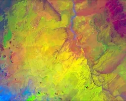
Arizona Water Resources II (Fall 2022) Team: Arina Morozova (Project Lead), Jamal Jeffer, Jessica Birk, Greg Peargin Summary: Pinyon-juniper woodlands (PJW) provide critical and resilient...

Affiliation
Science Systems and Applications, Inc.
Program Role
Associate Program Manager; Applications Liaison
Sabrina Delgado Arias is a research scientist specializing in Earth science applications for decision-making.

Affiliation
University of Maryland
Program Role
Program Coordinator
Dr. Joanne Hall is the Program Coordinator for the NASA Applied Sciences Wildland Fire Management program area.