Displaying 111 - 120 of 124


Topic
Southern Rockies Western Slope Agriculture (2023 Spring) Team: Adelaide Gonzalez (Project Lead), Rachel Buchler, Max VanArnam, Stephanie Willsey Summary: Over the last decade, the southern...
Topic
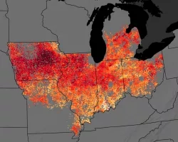
Southeast US Agriculture (2023 Spring) Team: Kindrea Gibbons (Project Lead), Michaela Gooch, Quinton Deppert, Casey Mills Summary: A flash drought refers to the rapid onset...

Landscape Analysis of African American farmers in North Carolina and approaches for applying NASA’s data to help prevent their extinction Team: Kibri Everett, PhD (RTI...

Applied Sciences
Capacity Building
Disasters
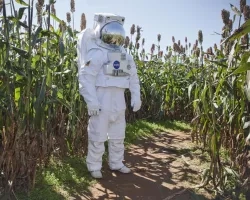
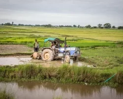
Agriculture
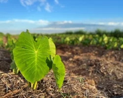
EO-Enabled Food Security Dashboard to Close Critical Data Gaps in Highly Food Insecure Maui County Team: Hannah Kerner (Arizona State University), Catherine Nakalembe (University of...