Displaying 591 - 600 of 728
![Median daily evapotranspiration (ET) from September 2021 to May 2022 calculated from ISS ECOSTRESS data. The image covers the agricultural fields adjacent to the Maipo River, Chile and depicts water stress. The color scale ranges from red (low ET) to blue (high ET), with higher ET observed over irrigated agricultural fields. ET is used for estimating crop irrigation requirements. This data will inform irrigation management practices and help alleviate water scarcity within the area. ](/sites/default/files/styles/lis/public/2023-01/2022Sum_ID_IdahoWildfires_WebsiteImage.jpg.webp?itok=MgV2NTHF)
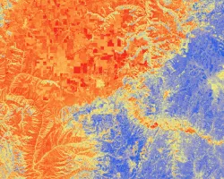
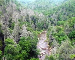
IDAHO WILDFIRES (Summer 2022) Team: Ford Freyberg (Project Lead), Carson Schuetze, Jessica Hiatt, Brenner Burkholder Summary: Escalating severity and frequency of drought and wildfire call...
![Normalized difference vegetation index (NDVI) generated from an October 5, 2021 Landsat 8 OLI image of Yellowstone National Park. The dark green shades represent areas with healthy vegetation, yellow depicts bare ground, and intermediate shades reflect a gradient of vegetation productivity. Areas with NDVI values that vary throughout the year are indicative of deciduous vegetation and can help resource managers understand changes in aspen stand extent.](/sites/default/files/styles/lis/public/2023-02/2022Fall_GA_YellowstoneEcoII_WebsiteImage.jpg.webp?itok=9zItKz9L)
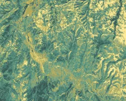
Yellowstone Ecological Forecasting II (Fall 2022) Team: Vanessa Bailey (Project Lead), Ryan Brinton, Samantha Snowden, Aliza White Summary: Aspen stands in Yellowstone National Park have...
DEVELOP 2022 Summer Project Booklet
Topic
Resource Type
NASA DEVELOP 2023 Summer Proposed Project List
Topic
Resource Type
2022 DEVELOP Annual Newsletter
Topic
Resource Type
![Image of 4 Airborne Images with ARSET Logo](/sites/default/files/styles/lis/public/2023-01/AirborneImaging_WebsiteHeader.jpg.webp?itok=zn-jAoL3)
Training Type
Level
Intermediate
Date
Marzo 27, 2023 - Abril 05, 2023