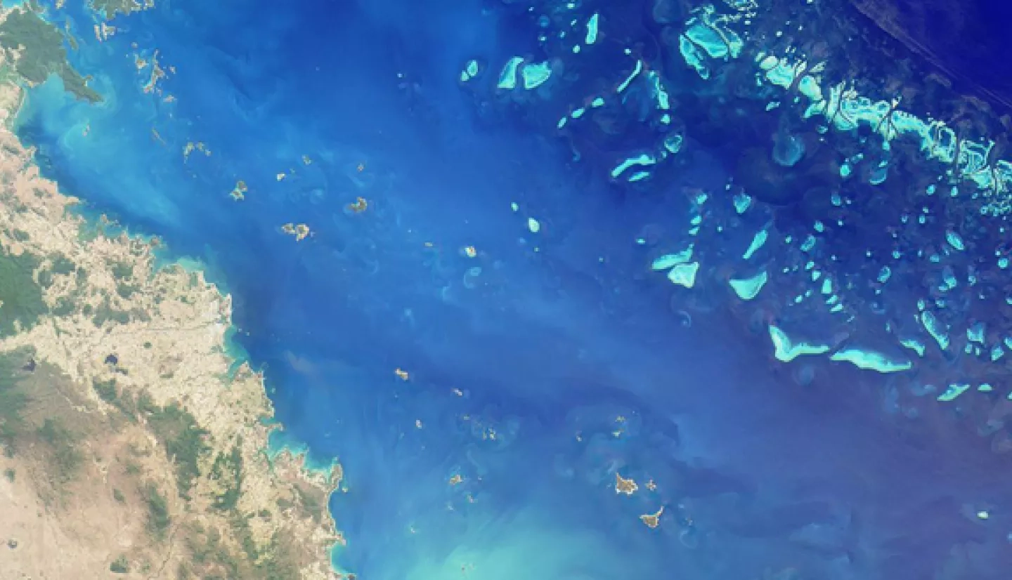
Coastal ecosystems have a major impact on human and animal life in the communities they support. They provide food, protection, a source of jobs and income and are home to rich biodiversity. The ability to get a birds-eye view of these ecosystems through the use of remote sensing is vital in helping us protect, preserve and understand them; but remote sensing of coastal and marine ecosystems is particularly challenging even with the clearest waters and the clearest skies.
For example, when we go swimming with goggles on, objects we see will appear about a third larger than they really are due to refraction or bending of the light. If this happens between a goggle lens and the lens of our eye, you can only imagine how complicated things can get when we are viewing an object from space that lies below a body of water and the atmosphere. In addition to the effects of water itself, dissolved and suspended constituents in the water column attenuate, or reduce the signature of, most of the light received from our sensors by absorbing or scattering it. There is also the fact that up to 90% of the signal received by the sensors on Earth-observing satellites comes from the atmosphere.
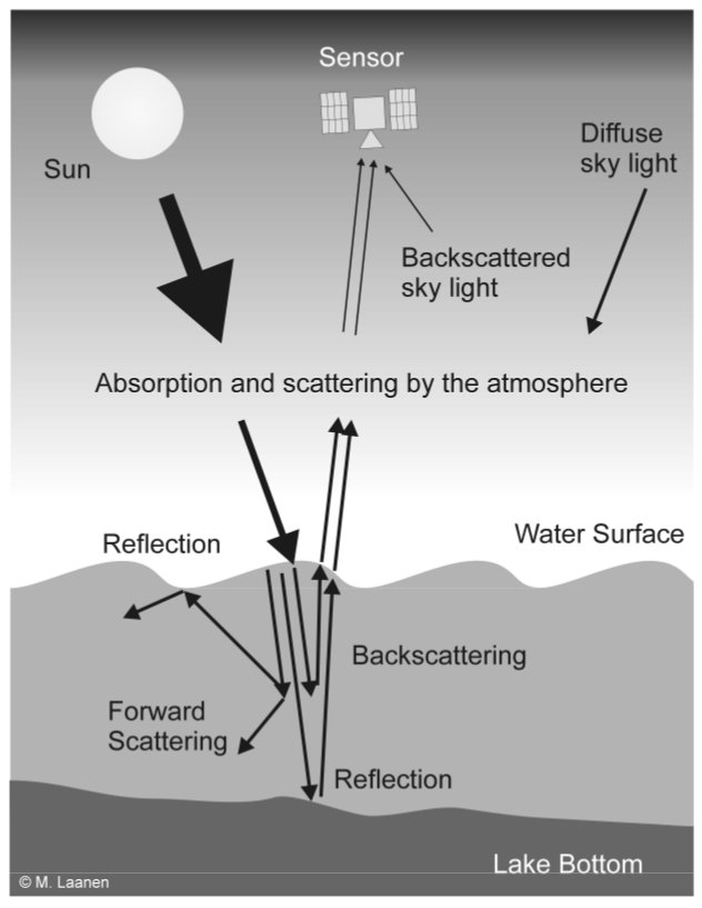
Image Credit: Laanen, M.L. (2007)
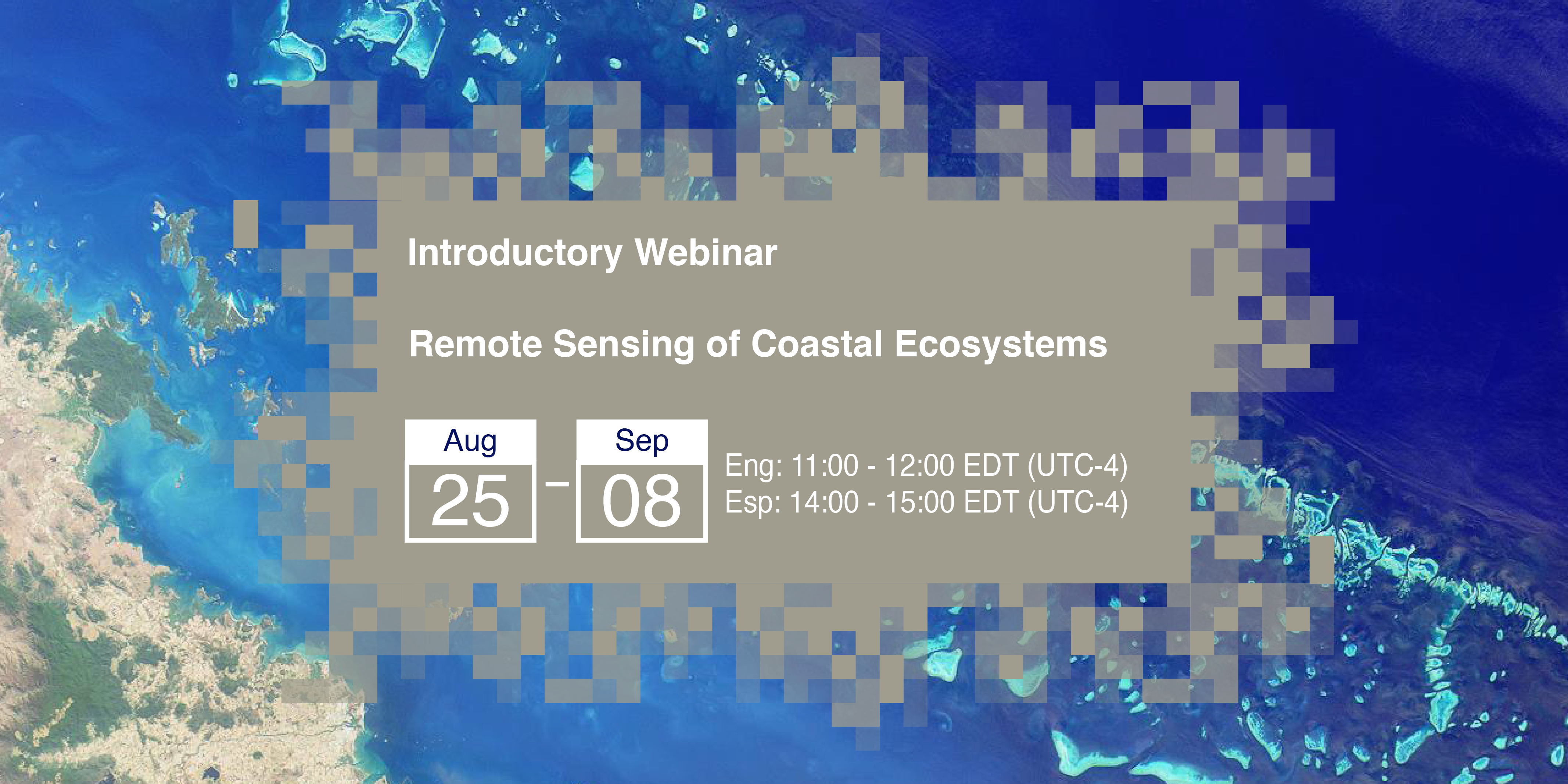
To teach users how to overcome some of these challenges, the Applied Remote Sensing Training Program (ARSET) will be offering a free, introductory, three-part training that will teach users how to approach the challenging topic of remote sensing and coastal environments. The first session will offer an introduction to the topic and will go over the NASA satellites and sensors that can be used. The second session will go over topics related to how light interacts as it penetrates the water column, what this means for remote sensing, and how to correct for these phenomena. The third session covers shorelines and beaches, including geophysical components, image processing and analysis, and field validation of remote sensing data. Those who attend this training will leave with a thorough understanding of what is required for remote sensing in coastal environments and will also have an understanding of the methods and sensors that can be used to accomplish their goals. Even those with very little remote sensing experience can benefit from this training.
The first session will air on August 25th, 2020, and all sessions will be offered in both English and Spanish. If you would like to take part, you can register for free on the ARSET website. This is an introductory-level training, so anyone with an interest that is the least bit familiar with remote sensing is welcome to join. If you are not familiar with remote sensing, not to worry. Our free, interactive Fundamentals of Remote Sensing online course is designed for those who are just getting into the field and can prepare you for this and other ARSET trainings.