Alberto Guzman is a translator — but not in the way you might think. As a senior software engineer with NASA’s Ames Research Center and California State University Monterey Bay, Guzman translates the unique language of NASA scientists into computer code, creating opportunities for applied science breakthroughs to run on a bigger scale and have a larger impact.
“A lot of scientists do amazing and complex work in their fields, but they need help to translate that work into a computer program to run it on a bigger scale,” Guzman said. “I see myself translating between those two things. I have to understand the science [well] enough so I can implement it as a computer algorithm.”
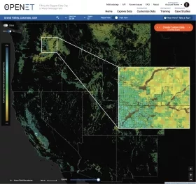
Guzman’s “translation” skills are especially important for projects like OpenET, where he is one of the lead developers for the application programming interface, or API, that allows partners to tap into crucial evapotranspiration data.
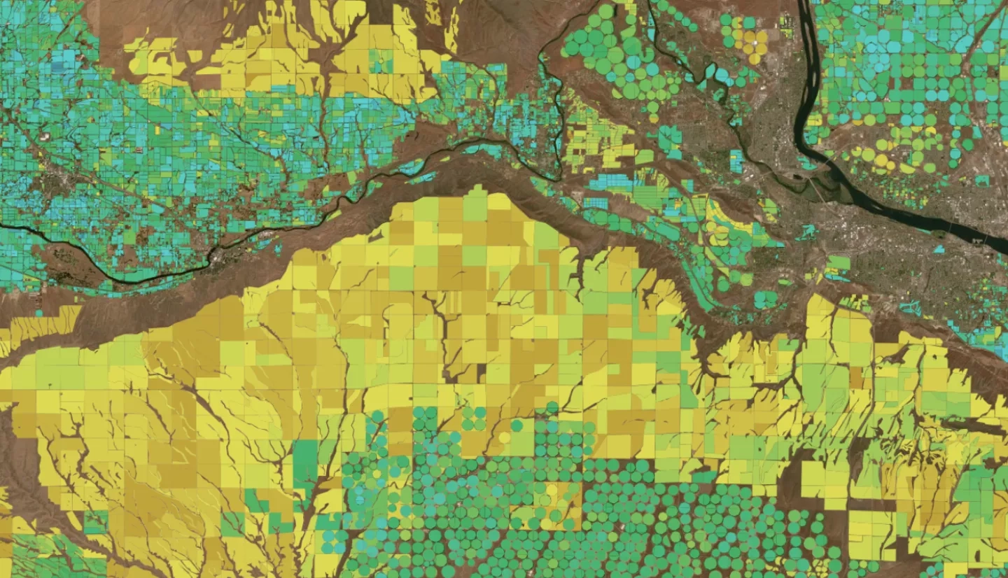
OpenET is a new web-based platform that puts NASA data in the hands of farmers, water managers and conservation groups to speed up improvements and bring about innovation in water management across 17 western states. It uses publicly-available data and open-source models to deliver satellite-based information on evapotranspiration (the “ET” in OpenET) in areas as small as a quarter of an acre and at daily, monthly and yearly intervals.
Honoring His Roots
Guzman’s work on OpenET — and on various other water projects with NASA's Western Water Applications Office (WWAO) and NASA Earth Applied Sciences Program's Water Resources program area — is personal. While his current work often focuses on supporting the local agriculture industry, Guzman’s introduction to agriculture began when his parents moved from Mexico to a tiny agricultural town in the middle of Central Valley, California, when Guzman was 10 years old.
For Guzman, it was a big culture shock. Not only did he have to learn a new language, but he also had to learn a new way of life after living in a city. However, 10-year-old Guzman found a silver lining to the move.
“The good thing is it was an agricultural town so there were a lot of Mexican immigrants, I had a lot of friends, and we really got into soccer,” he said. “Everyone I knew, their job was related to agriculture.”
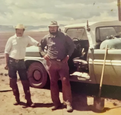
Guzman spent his summers working in the industry with his dad, tending to peach orchards and tomato fields. When he finally went away to college, he thought he’d never do anything in the agriculture industry again.
Now Guzman uses satellite imagery and data from weather stations and planes to address a variety of agriculture challenges like water efficiency and fertilizer use. Through this work with remote sensing, Guzman’s relationship with agriculture has come full circle.
“I’m glad I found a way to give back to my community,” he said. “All of my siblings, everyone still lives in that small town or close to it. Everything that has to do with agriculture — whether there’s a drought or not enough water or legislation that is affecting agriculture — it impacts them economically. If people are applying too much fertilizer to their fields and it leaches into groundwater, it can impact water quality in wells for drinking water in their community.”
Guzman, a graduate of California State University, Monterey Bay, has spent the last 10 years working at NASA, providing water managers with Earth observations to help inform better decision-making about their water resources. Projects like OpenET directly benefit the agricultural industry and those who work in it — including his family members.
“Before I started working on NASA-related projects, I had no idea how satellite images could help anything,” he said. “I thought they were just taking nice pictures from space.”
More Crop Per Drop
In addition to OpenET, Guzman also works with the NASA Earth Exchange — which combines state-of-the-art supercomputing, Earth-systems modeling and NASA remote-sensing data — as a data manager. He is also the principal investigator on a WWAO project linking data from the Satellite Irrigation Management Support (SIMS) system with the CropManage irrigation and fertilizer decision support app. The goal of the project is to extend CropManage to more crops than the 28 it currently covers, and incorporate satellite observations to maximize accuracy, especially for high-value orchard and vineyard crops.
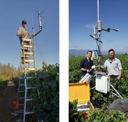
The SIMS system uses NASA and United States Geological Survey satellites to map crop development and crop water demand throughout the western U.S. Guzman was one of the model developers responsible for implementing the code for the interface. SIMS is also one of the six evapotranspiration data models provided by OpenET.
CropManage, developed by Michael Cahn of the University of California Agriculture and Natural Resources Institute, aims to help farmers in California and other western states advance sustainable practices for management of water and fertilizer, and an average of 1,500-2,300 users access its data. CropManage is currently being used across 50,000-100,000 acres in California and is expected to grow rapidly as it expands to provide support for growers of almonds, wine grapes and alfalfa.
Through his years at NASA, Guzman has worked closely with Forrest Melton, program scientist for WWAO and also with NASA Ames Research Center Cooperative for Research in Earth Science and Technology (ARC-CREST).
“It’s been an incredible experience to work with Alberto on a wide range of projects that use satellite data to address water management challenges,” said Melton. “The technical skills he brings to our work are critical to project success, and his history with agriculture gives him a unique perspective on water management in California.”
Guzman says that's just one reason he's happy to bring his expertise to Applied Science projects in California and beyond. From translation to evapotranspiration, Guzman's background in agriculture has positioned him to connect NASA Earth observations with those who can put them to use in the field.
This story is part of our Space for U.S. collection.


