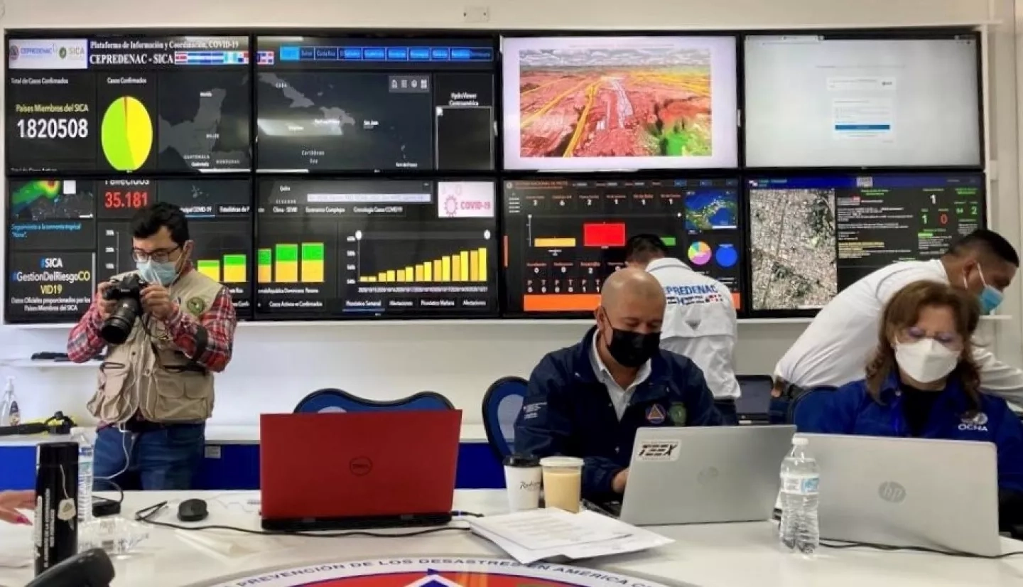
Guatemala City recently hosted a Central American earthquake simulation drill for disaster preparedness. The main objectives of the exercise were to determine how geospatial information can improve disaster decision-making and to strengthen relationships with key organizations in the region. Search and rescue teams from seven Central American countries, international humanitarian organizations, Central American military rescue forces, national governments, and more participated in the drill. The NASA Disasters Program area provided data to support the participants’ decision-making in each phase of the earthquake simulation.
Navteca, a technology services company and frequent NASA collaborator, provided 3D visualizations of the terrain and videos of Guatemala hazard scenarios. In doing so, Navteca translated layers of complex scientific data into a visual format that people of all scientific backgrounds could understand. These visualizations helped different stakeholders, such as state and local authorities, the military, and emergency leaders interpret NASA’s disaster data to make informed decisions.
Click here to learn more about how Navteca is using virtual reality for disaster resilience.
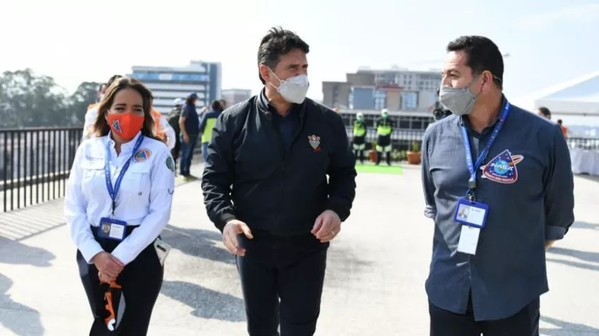
“Access to accurate and timely data is necessary to reduce community risk of natural hazards – and waiting until a disaster happens to make these connections can leave governments scrambling for resources,” says Ricardo Quiroga, a Disasters Coordinator based at NASA’s Langley Research Center. “Through exercises and drills such as this, Central American governments and humanitarian organizations become ready to use NASA data to aid response and recovery.”


