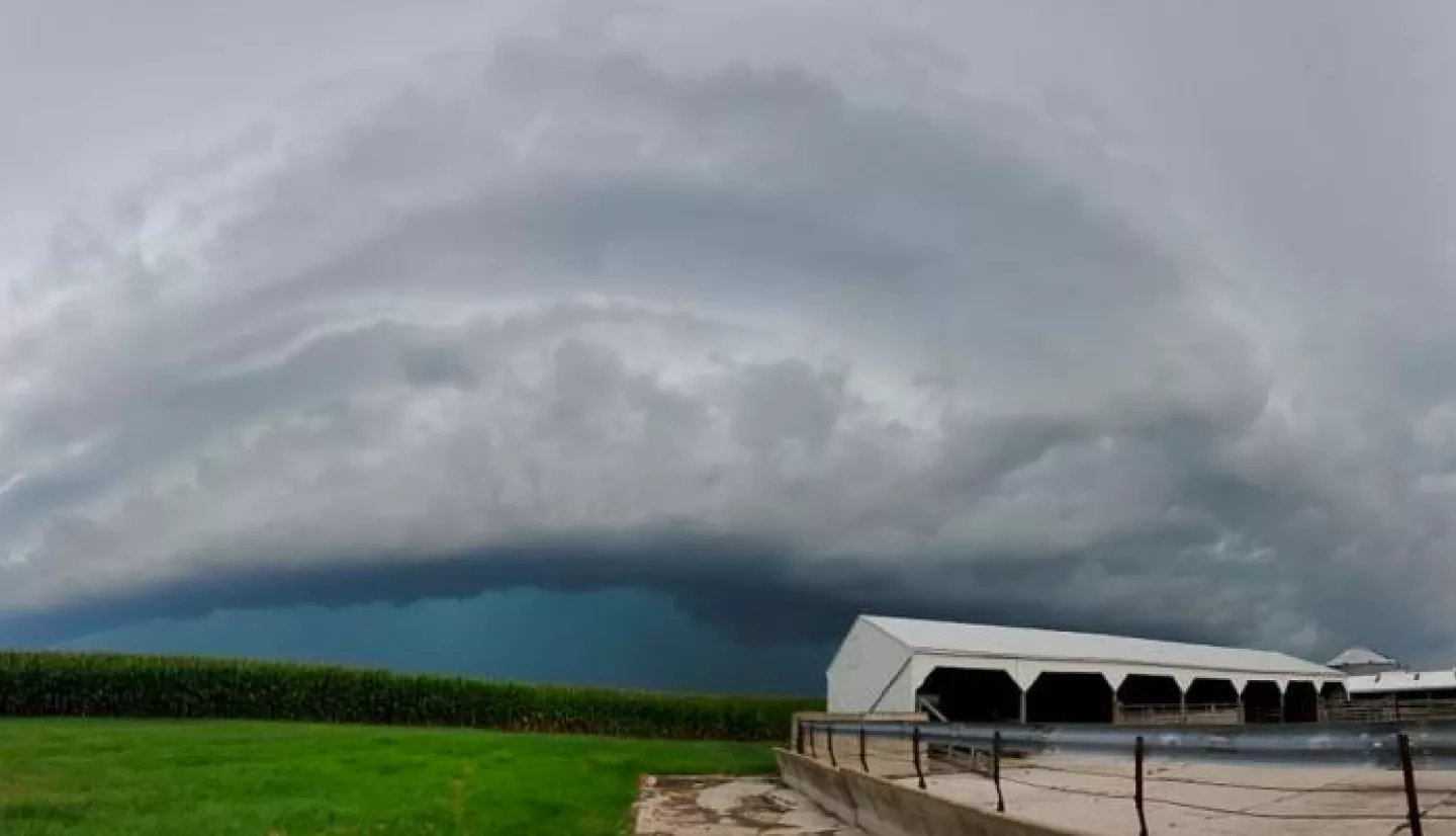
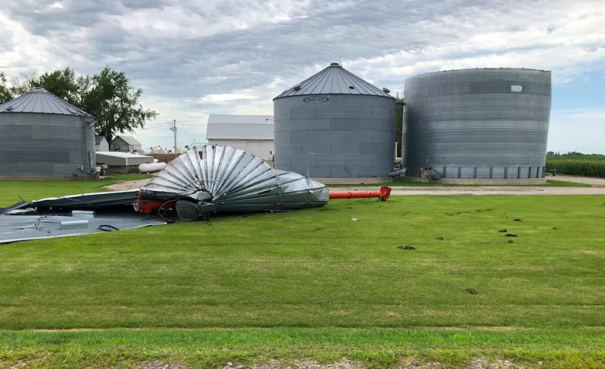
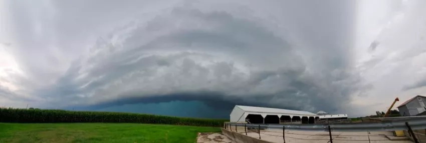
A powerful, fast-moving, group of thunderstorms known as a ‘derecho’ moved across Iowa in August 2020. This severe weather event resulted in significant damage to crops, causing property damage, power outages and loss of life.
Two Applied Sciences programs are responding to the effects of the storm. NASA’s Food and Agriculture program (NASA Harvest) is calling on citizen scientists to use their smart phones to help track and validate satellite data with respect to the severity of the storm damage on food crops. NASA’s Disasters program is working with Iowa state officials to analyze the derecho’s composition and wind speed as measured by NASA satellites and other Earth observations.
Ground-Truthing Our Eyes in the Skies
Building on the ubiquity of mobile phones, NASA Harvest is mapping the damage caused by the derecho by building a library of geo-tagged photos. This data is then used to help check the validity of computer models and to interpret the satellite data showing the storm’s effects.
The NASA Harvest consortium is the agency’s Food and Agriculture program and works to enable and advance the adoption of satellite Earth observations by both public and private organizations. Many of their projects are end-user-driven and thus, in order to provide accurate information for recovery efforts, they are building this collection of how the storm impacted farms and crop products. As part of the program’s policy of open data sharing, results of the findings will be made publicly available.
More about the project and the details of how to submit images can be found at the NASA Harvest website article, Calling All Farmers! Were Your Fields Impacted by the August 10th, 2020 Derecho?
Investigating the Intensity of Wind
One hallmark of a derecho is the strength of the storm’s winds when compared to everyday thunderstorms. To understand the intensity of this August 2020 storm, researchers are reviewing multiple Earth-observing satellite data sets and working hand-in-hand with Iowa state officials.
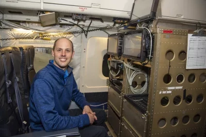
Kris Bedka of NASA’s Langley Research Center in Hampton, Virginia is leading this project with the support of the Disasters program area. Working with a team that also includes researchers from NASA’s Marshall Space Flight Center in Huntsville, Alabama and the University of Oklahoma, Bedka found that even for a derecho, the August 2020 storm was exceptionally fierce.
"There's evidence based on damage patterns in pockets throughout the state of Iowa that they saw winds exceeding 140 mph, which is extremely uncommon in these derecho systems," Bedka said. "I mean, 100 mph is usually kind of your upper end. When you get to 140, that's just a whole new level."
Bedka’s team is working with local experts in Iowa to interpret this NASA satellite data.
"The remote sensing products produced by the NASA team have given us a tremendous set of tools to study the agricultural damage produced by the Aug. 10 derecho event," said Justin Glisan of the Iowa Department of Agriculture and Land Stewardship.
"[It] impacted 57 of Iowa’s 99 counties, one of the most significant weather events Iowa agriculture has experienced," Glisan said.
"As state climatologist of Iowa, having these additional and remarkable products in the toolbox will provide excellent guidance as we continue analyzing this catastrophic event."
A full version and more details on this can be found in the NASA.gov article, NASA Researchers Help Analyze a Historically Powerful, Costly Storm.
Also of note is a recent profile of the project’s lead researcher, Kristopher Bedka: Helping the Reinsurance Industry Understand Hailstorm Risk with Satellites.


