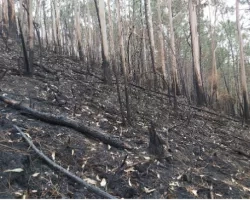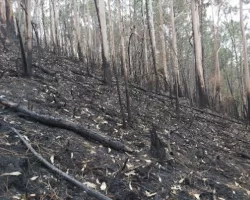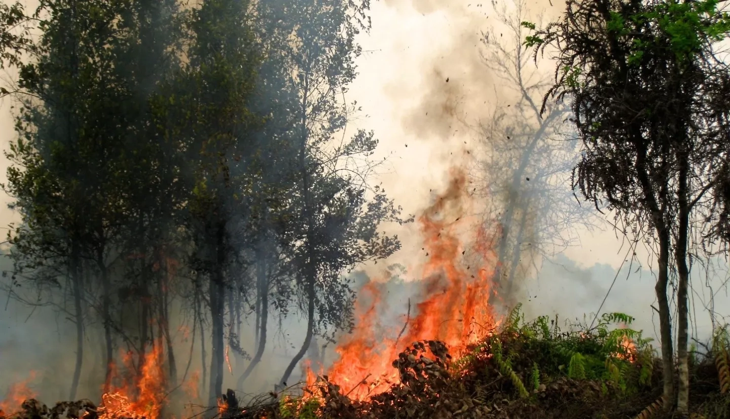
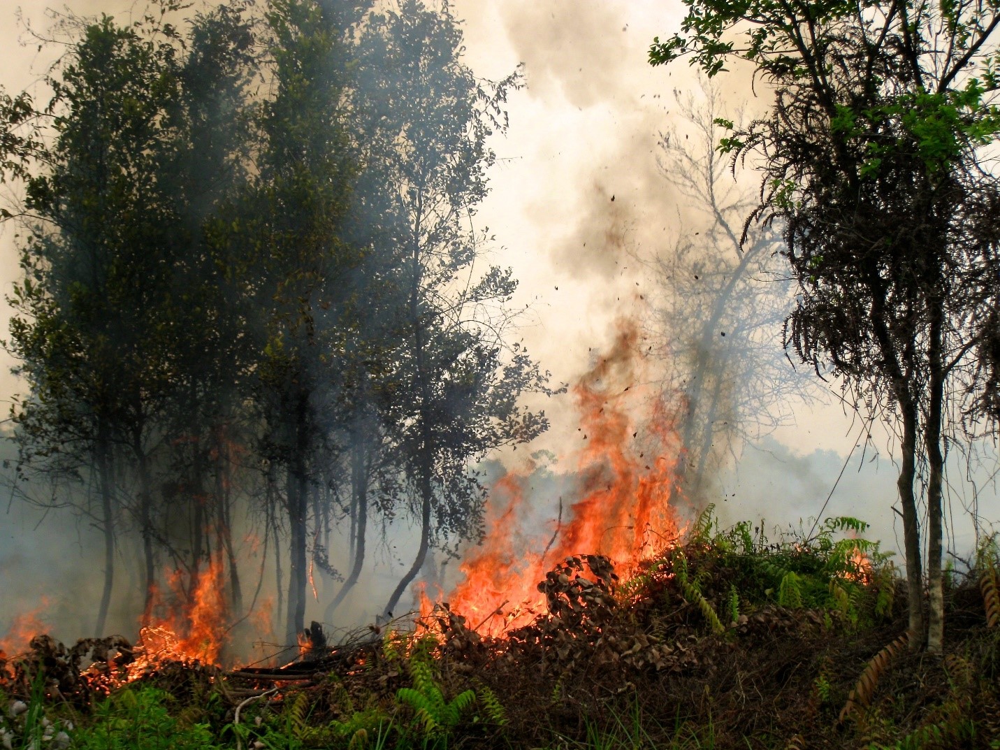
Where would humankind be without the discovery of fire? Warmth, lighting, and protection from nocturnal predators were made possible once humans became acquainted with flames. Now that friend to humanity’s earliest ancestors arguably pivots to foe as severe wildfires become more frequent around the globe. Warmer temperatures and drier conditions caused by Earth’s changing climate can cause fires to spread faster and make them more difficult to control.
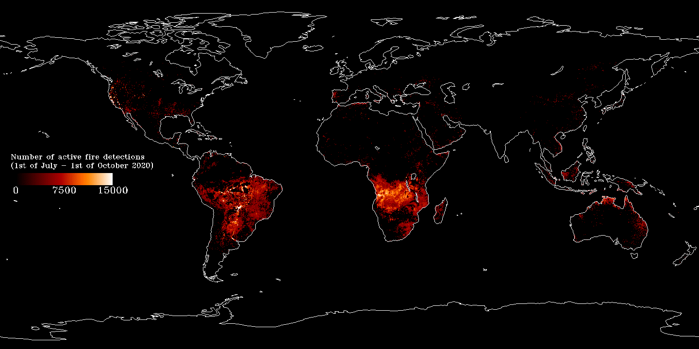
The use of Earth observing data offers unique perspectives and insight. Three projects funded by NASA’s Earth Science Applied Sciences Disasters program area to enhance the Group on Earth Observations (GEO) have focused on wildfire, specifically the Global Wildfire Information System (GWIS) – an initiative between NASA and the European Union (EU). GEO is a worldwide network connecting hundreds of government, academic and business institutions, data providers, engineers, and scientists to use coordinated, comprehensive and sustained Earth observations for the benefit of humankind. GWIS enables enhanced wildfire prevention, preparedness, and effectiveness in wildfire management by bringing together existing information sources at regional and national levels to provide a comprehensive view and evaluation of fire regimes and effects at a global level. Users can access these data and services through a user-friendly web interface.
Enhancing GWIS under the GEO framework has been accomplished through three main projects, each strengthening different aspects of GWIS and widening distribution and ease of use for stakeholders. While each honed in on specific pieces of GWIS and its functionality, all focused on collaboration, end-user accessibility, and underserved nations, in order to improve fire management around the world.
One project, led by Principal Investigator (PI) Louis Giglio and Co-Investigator (Co-I) Wilfred Shroeder, focuses on the “Development of a Harmonized Multi-Sensor Global Active Fire Data Set.” The project has strengthened the usability of geostationary data collected throughout the world. These data include those gathered on the Japanese Himawari satellites, the European Meteosat satellites, and NOAA’s Geostationary Operational Environmental Satellite (GOES) system. These weather satellites provide observations at 5-to-15-minute intervals. However, they were not designed for observing fires, despite their efficacy in locating fire starts around the globe. So, Giglio and Schroeder have worked to provide a holistic data product to help observe these fires. This involved combining many varying sensor systems for what is “basically, a mashup of data covering the globe,” says Vincent Ambrosia, who works with the project PIs, overseeing all three GWIS projects.
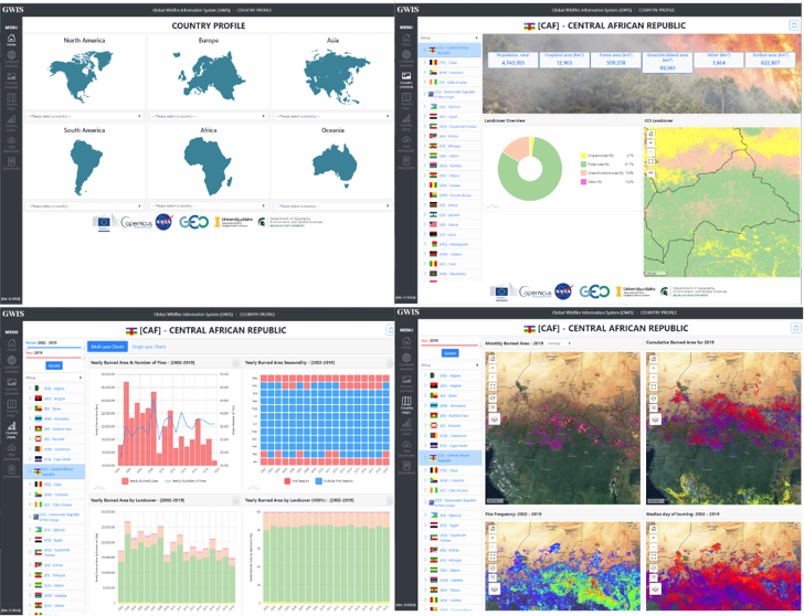
Another of the projects, led by PI Luigi Boschetti and Co-I David Roy, focuses on “Using the NASA Polar Orbiting Fire Product Record to Enhance and Expand the Global Wildfire Information System.” This project takes existing data within GWIS, which links to NASA’s Moderate Resolution Imaging Spectroradiometer (MODIS) and Visible Infrared Imaging Radiometer Suite (VIIRS) data archives, and makes that data available for any country to use and easily build statistics for their own reporting purposes. These reports can include historical occurrences of fires or the current status of fires, and are used by federal agencies, national agencies, regional entities, the United Nations (UN), and others. The data can be used in real-time and are provided with visualization capabilities that are accessible to scientists and non-scientists alike. Ambrosia provides a practical example: “A researcher that’s looking at carbon monitoring in Ecuador can go back and look at the historical record for fire occurrences from MODIS data, dating all the way back to the early 2000s … and create statistics or graphics packages, bar charts, etc., showing the number of fires or acreage consumed from one year to the next” for reporting to the UN or their own in-country assessments.
Ambrosia also emphasizes the need for these tools and data for nations around the world that don’t currently have easy access to Earth observing data. He describes the high level of collaboration and long-standing relationship NASA has with the Joint Research Center (JRC) in Ispra, Italy. The JRC maintains GWIS, with contributions from the global GWIS community, especially from the U.S., Canada, and UN.
The third project had two main objectives: improving the learning experience for GWIS users, and making it possible to access consistent fire danger rating data anywhere in the world. For the project, “Enhancements to the Global Wildfire Information System: Fire Danger Rating and Applications in Indonesia,” the project’s PI, Robert Field, leveraged many years of collaborative research experience in Indonesia to provide training and information on relevant and useful Fire Danger Rating Systems (FDRS) and Fire Weather Index (FWI) products. The work is helping Indonesia improve management of their own fire systems, as well as many other countries, particularly in Latin America,
Field also works on fire fuel modeling, known as fire weather index modeling, which he has incorporated into GWIS. Field’s model augments the European and Canadian models already served in GWIS with a U.S./ NASA model. Each provides slightly different capabilities, offering a range of tools for countries to use appropriately for their specific fire management needs.
Ambrosia emphasizes how the deep collaboration between researchers at NASA, the EU, Canada, and other partners have been key to the three projects, which have each contributed significant advancements to the fire management community. A new and exciting advancement includes Giglio’s validation and verification of meteorological satellite data that has been incorporated into GWIS. The U.S. Forest Service (USFS) recognized these efforts and advancements, and is now working with NASA on infusing GOES meteorological satellite fire detection data into the Fire Information for Resource Management System (FIRMS) - a near real-time active fire detection data tool that uses MODIS and VIIRS data. This replaces an older USFS system, the Active Fire Mapping system, which also relied on MODIS and VIIRS data. It has spurred new collaborations and efforts within the U.S., providing continuous fire updates at 1-to-5-minute intervals — nearly real-time.
Each of these projects have been highly successful in their implementations and improvements to GWIS, which has been “a long-standing web-mapping service that the world community has used for 15 years or so, now,” beams Ambrosia. He also emphasizes that training resources are available to all users of GWIS around the globe. Enhancing the ability of underserved nations to generate their own accurate statistics on fires instead of relying on “guestimates” is a priority. With GWIS and the improvements brought by these three projects, “they get verifiable observations that are derived in near real-time on their statistics.” Modeling efforts, such as Field’s, also provide a look into the near future via 7-to-9 day predictions of fires, which is advantageous “to those of us in the United States, and globally,” adds Ambrosia.
Fire has played a significant role in humans’ past, and with the cooperation evident from this trio of projects, wildland fire will be better managed in humanity’s future.
Additional contributions to the story were made by NASA Disasters Science Writer Intern, Sierra Steele.