Image

NASA
NASA
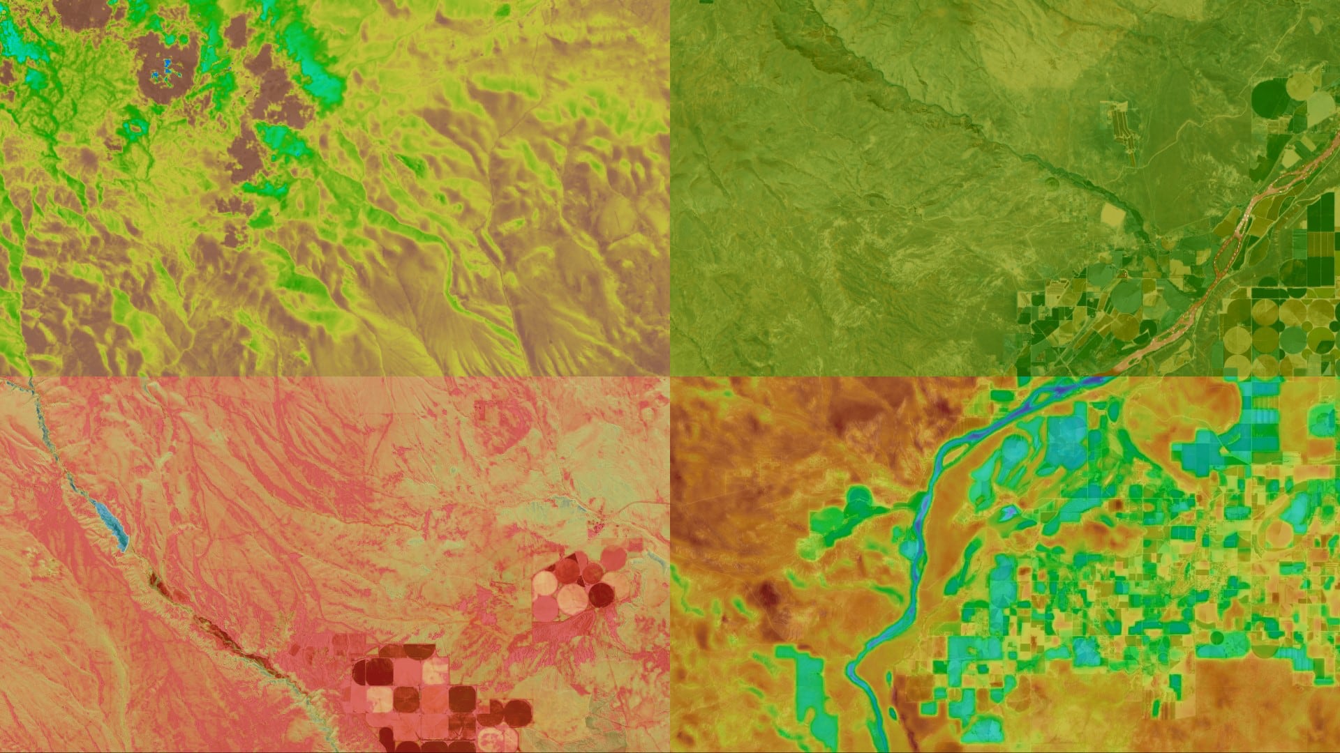
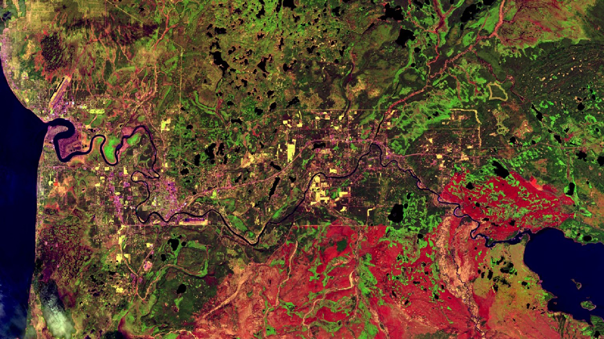
Tasseled cap greenness transformation derived from Landsat 8 imagery over lodgepole pine forest in the Intermountain West study area
Completed Projects
Ian Lauer
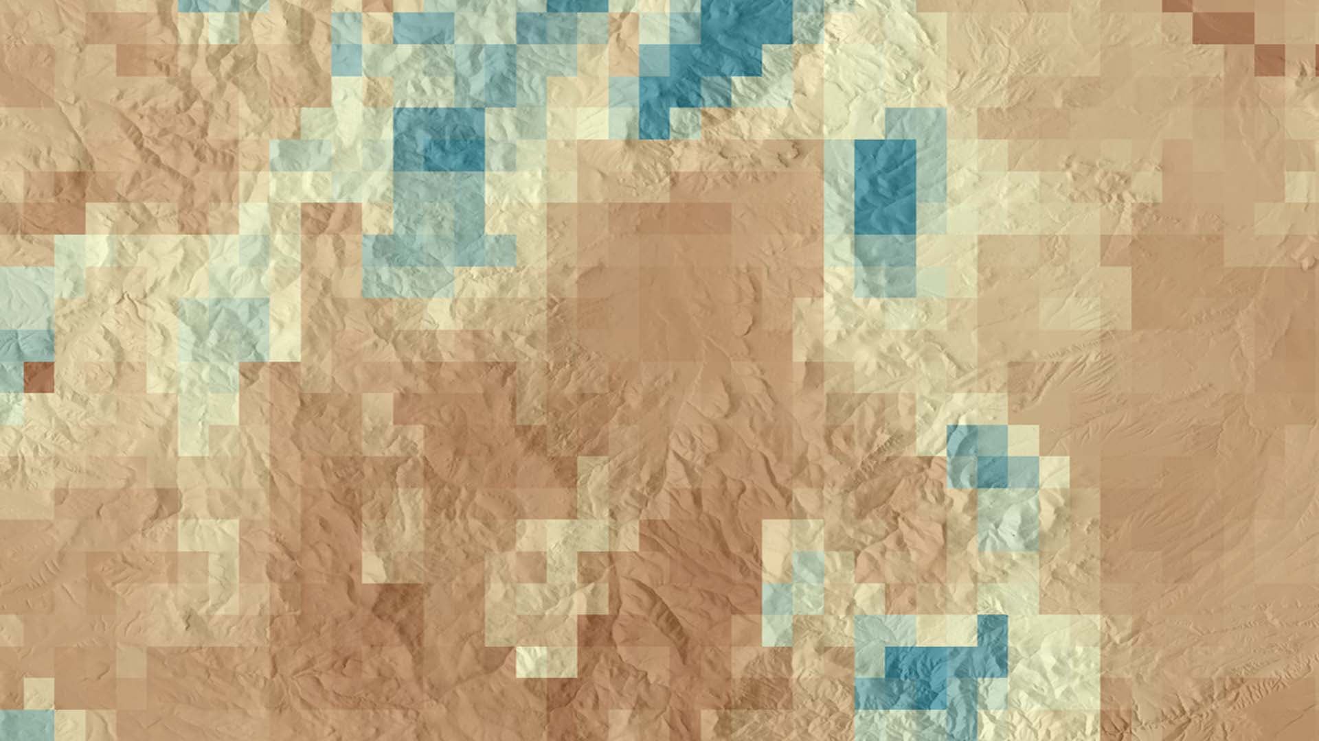
Soil moisture is a critical component of ecosystem health, particularly in semi-arid landscapes where seasonal and infrequent precipitation is one of the primary controls on vegetative health. Current land management practices of soil moisture data collection rely on costly and time-consuming field sampling or on...
Kaitlynn Hietpas
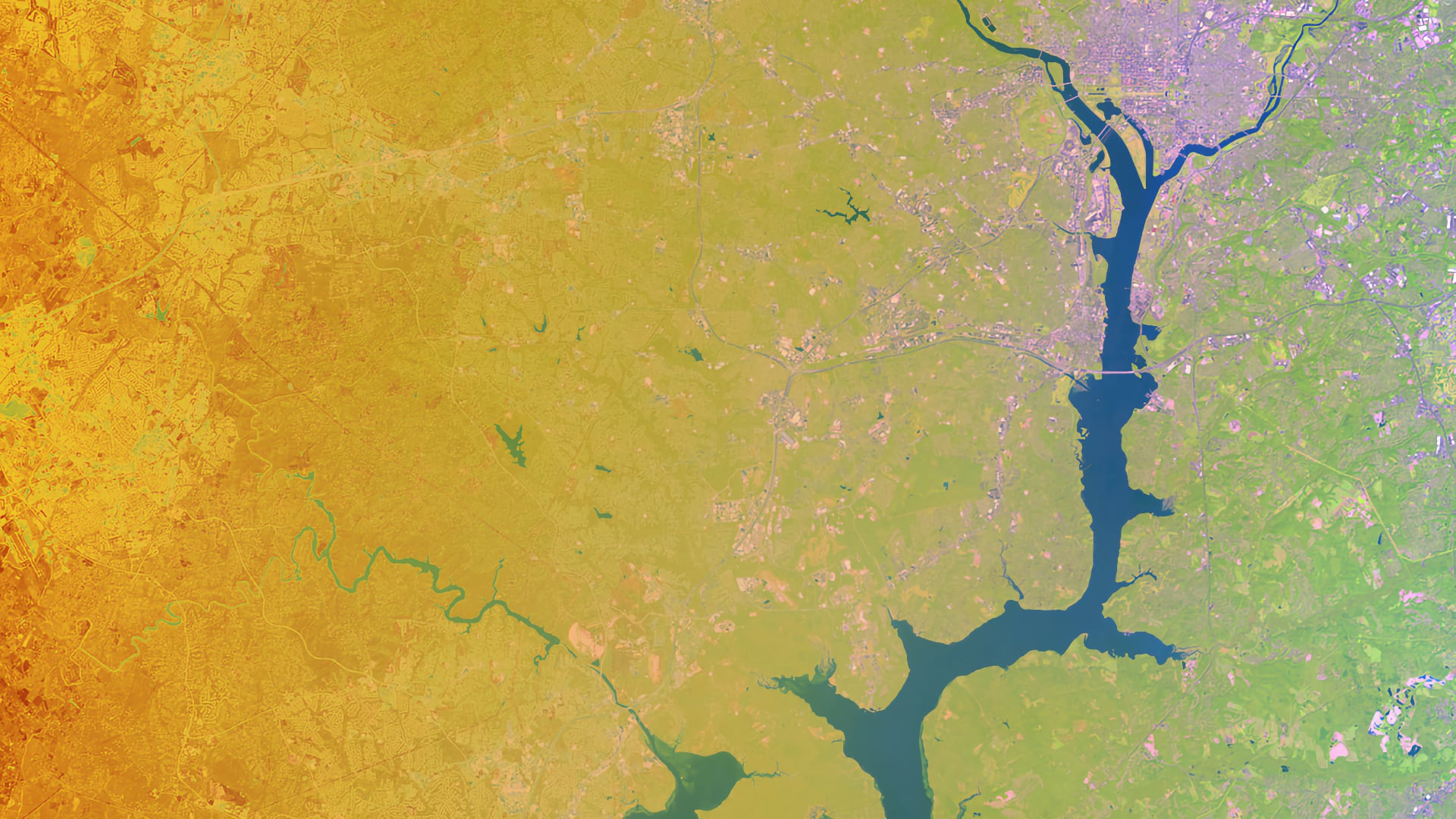
Between 2000 and 2020, Fairfax County, Virginia experienced extreme weather events that caused severe flooding and degradation of roads, businesses, and other public property. A single flood event on July 8th, 2019 resulted in $14.8 million in damages. These flood...
Dean Berkowitz
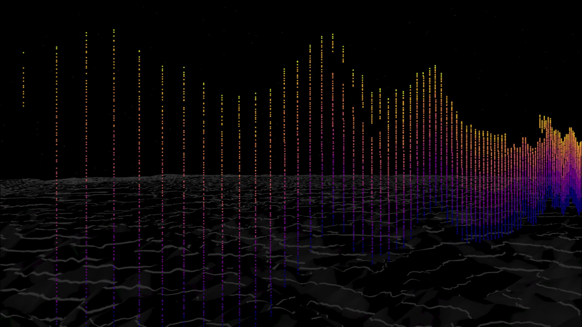
Wildfires in the western United States have caused immense infrastructure damage and loss of human life in recent years. Wildfire smoke, which travels far from its original source, is also harmful to human health. Mixing height, which acts as a...
Justine Spore
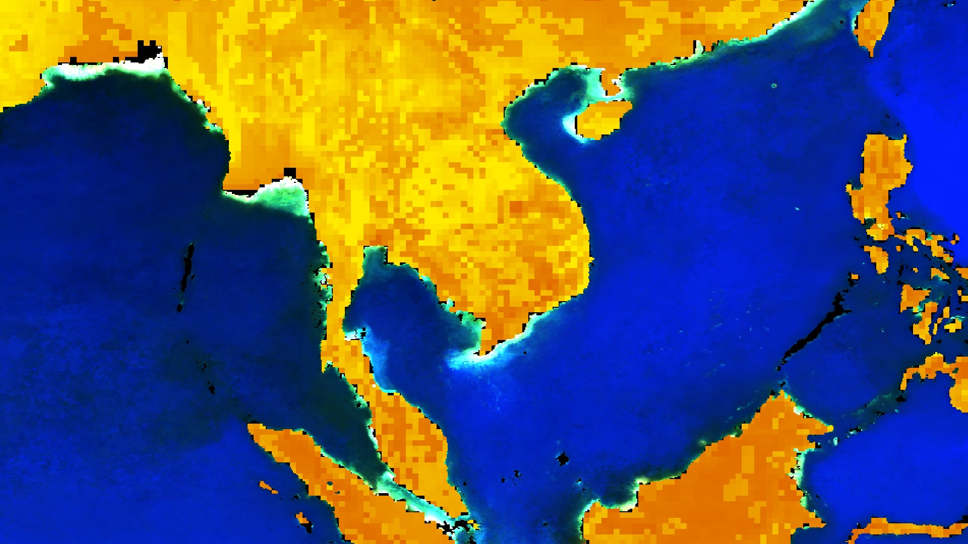
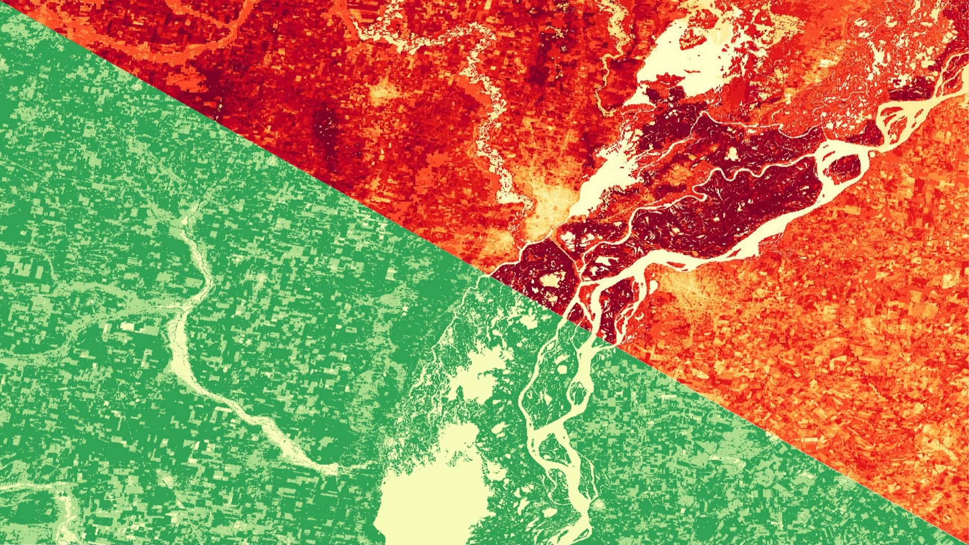
The Tonlé Sap Lake and river basin in central Cambodia provide critical ecosystem services to the region, including fisheries, agricultural irrigation, hydropower, and biodiverse habitats. Deforestation, increased pumping for farming, and effects of climate change such as droughts and forest...
Nicole Ramberg-Pihl
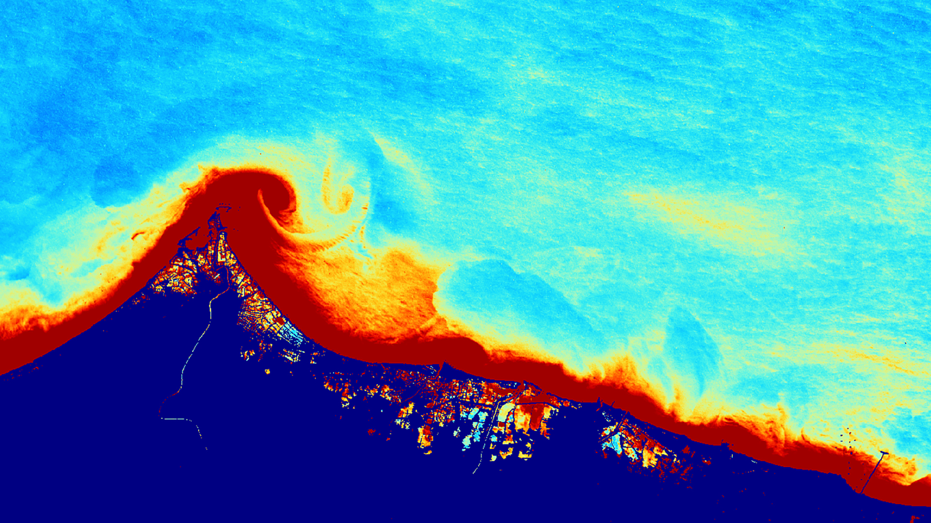
Extreme tidal inundation events resulted in wide-ranging damage to the densely populated coastline of Central Java, Indonesia. Central Java Province is vulnerable to extreme tidal inundation and severe fluxes in marine turbidity due to a combination of factors, including storm...
Marshall Worsham
The gopher frog (Lithobates capito) is an endangered species facing extinction within the next century due to loss and alteration of its habitat. With limited active gopher frog habitats in Alabama, it is crucial to maintain these areas. The Gopher...
Ian Lauer
Evapotranspiration (ET) is a vital component of the hydrologic cycle, especially in semi-arid environments; water availability can have a substantial impact on ecosystem services, such as grazing patterns of native and domesticated animal populations, vegetation health, and fire susceptibility. Current practices to measure ET rely...
Carl Jurkowski
Evapotranspiration (ET) is a key indicator of hydrological balance across different ecosystems. Water availability is a vital ecosystem service for biota and communities. The transpiration and evaporation of water from vegetation and soil can be estimated through in situ ET...
Anna McGarrigle

The disruption of natural fire regimes caused by fire suppression policies, coupled with drought and changing climate conditions, allow fuel loads to grow in the absence of naturally occurring, low intensity surface fires. Within the mixed conifer forests of the Cascades, catastrophic wildfires challenge forest...
Katherine Hess
Spruce beetle-induced (Dendroctonus rufipennis (Kirby)) mortality on the Kenai Peninsula has heightened local wildfire risk as canopy loss facilitates the conversion from blank to fire-prone grassland. We collected images from NASA Earth observations to visualize land cover succession at roughly five-year intervals following a...