PACE Water Resources (Summer 2023)
Team: Jules Kourelakos, Isabel Lubitz, Matt Romm, Grace Thorpe
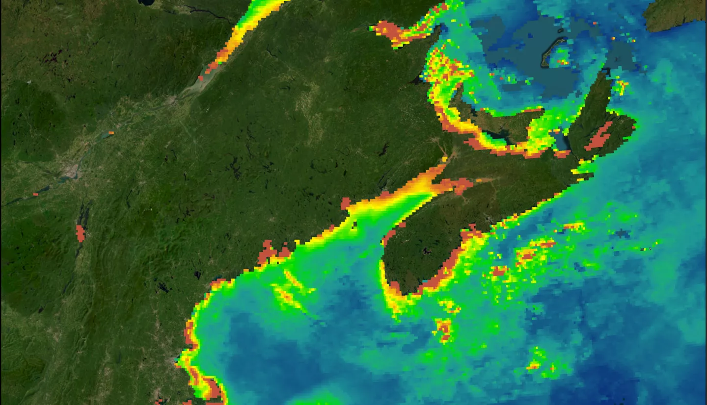
Summary: This project aimed to develop tools to support the future use of Plankton, Aerosol, Cloud, ocean Ecosystem (PACE) hyperspectral imagery in water resource monitoring and research by NASA DEVELOP teams and members of the PACE Applications Community. We sought to address the need for support in processing and visualizing hyperspectral PACE Ocean Color Instrument data. The project focused on supporting researchers and decision-makers working in coastal water quality management and harmful algal bloom monitoring. To supplement one day of simulated PACE imagery, we used Aqua MODIS Earth observations with Level 3 processing from March 2022 to build a Python graphical user interface for visualizing ocean biogeochemical parameters relevant to the early detection and monitoring of harmful algal blooms. We used Simulated PACE OCI PyTOAST-derived Level 2 data to incorporate remote sensing reflectance values into the functionality of the PACE Viewer. The Level 3 Viewer components support users with quick visualizations as well as the creation of GeoTIFFs and timeseries, while the Level 2 Viewer components address users’ concerns over the volume and complexity of hyperspectral imagery. The PACE Viewer is useful for visual inspection and NetCDF data processing but should not be used for geospatial analysis. When PACE data becomes available, this tool will alleviate the technical burdens of working with hyperspectral data and support the early detection and monitoring of harmful algal blooms using PACE satellite imagery.


